Approximate Address: 37°45'10.0"N 122°07'52.9"W (Entrance at end of Ettrick St. off of Malcom Ave)
OR
37.758390, -122.122038 (Entrance off of Skyline Blvd near Keller)
OR
37.760818, -122.126746 (End of Pebble Beach Drive, Oakland)
OR
Calafia Ave and Golf Links Road, Oakland, CA
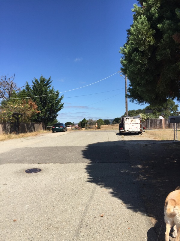
Parking: For the first entrance, you can enter the park from several of the streets off of Malcom Ave (Snowdown, Cameron, Lochard, Ettrick, Elvessa, Fallbrook Way). These are all dead-end streets, so you can park where available but please be considerate of the residents (we usually park across the street from Malcom Ave because there's more space, and you're not parking right in front of someone's house.
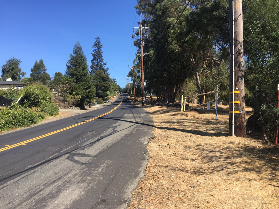
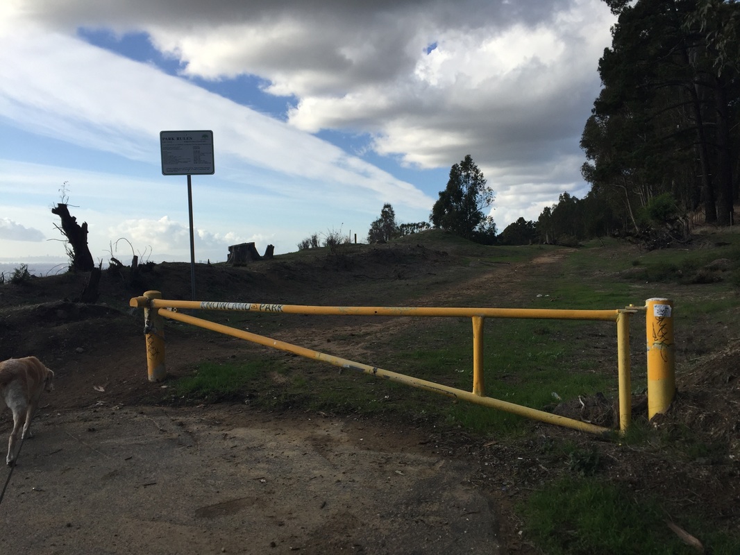
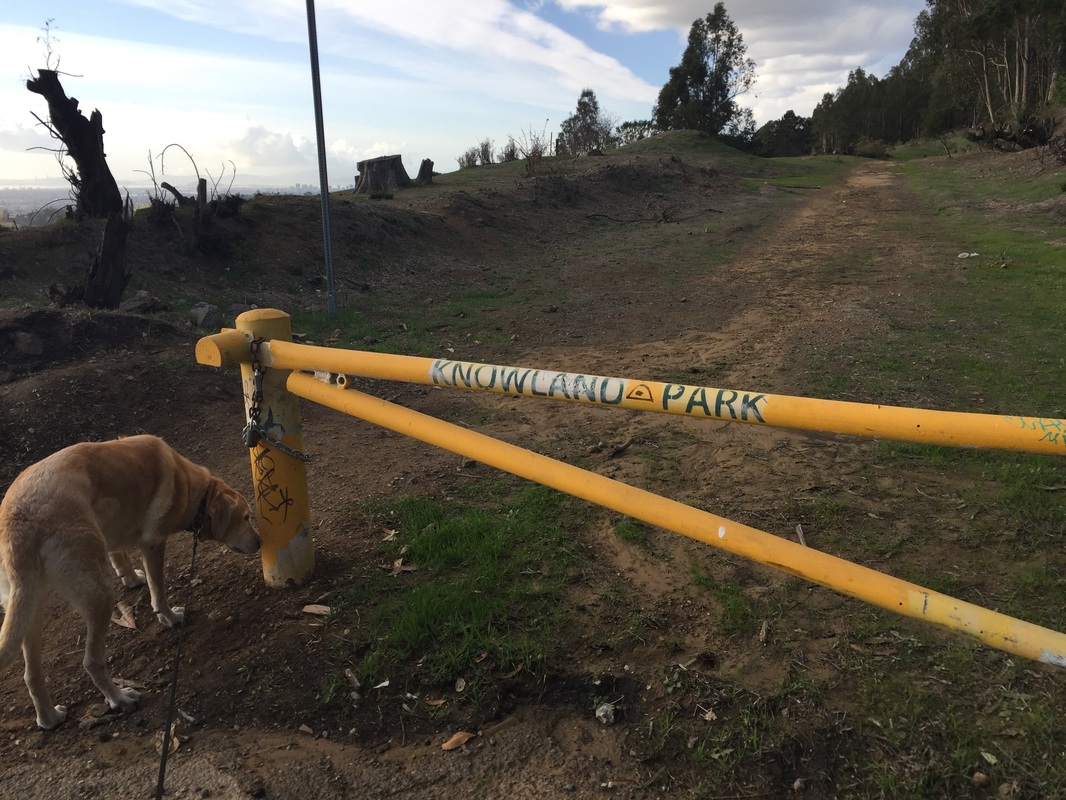
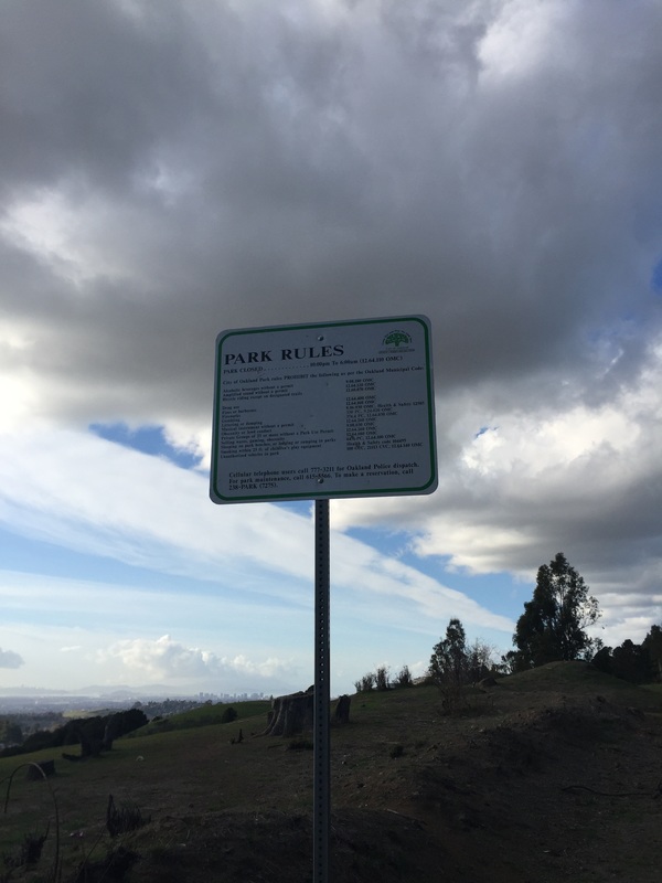
For the second entrance, there is a pullout on Skyline Blvd, down a paved but unmarked street, right in front of the yellow barrier and "Park Rules" sign. For the third entrance, there is neighborhood parking at the trailhead. Please be respectful of residents. Dogs are asked to be on-leash near the trailhead.
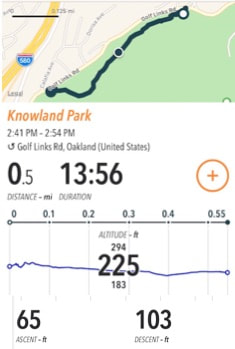
For the Golf Links Road Trailhead, you can park on Calafia Ave and cross the street at the crosswalk. Please be respectful of residents. Trailhead is at the yellow fire gate.
Hours: 6 A.M. to 10 P.M.
Type: Hike (moderate)
Regulations: Dogs allowed off-leash if under voice control. Dogs are asked to be on-leash near the Pebble Beach Dr. trailhead. No bags or trash bins, so bring your own bags and pack out your trash. (Update: Neighbors put in a trash can at the entrance off of Ettrick Street)
Best time to visit: Year-round, but if it's a hot day, only in the early morning/late afternoon.
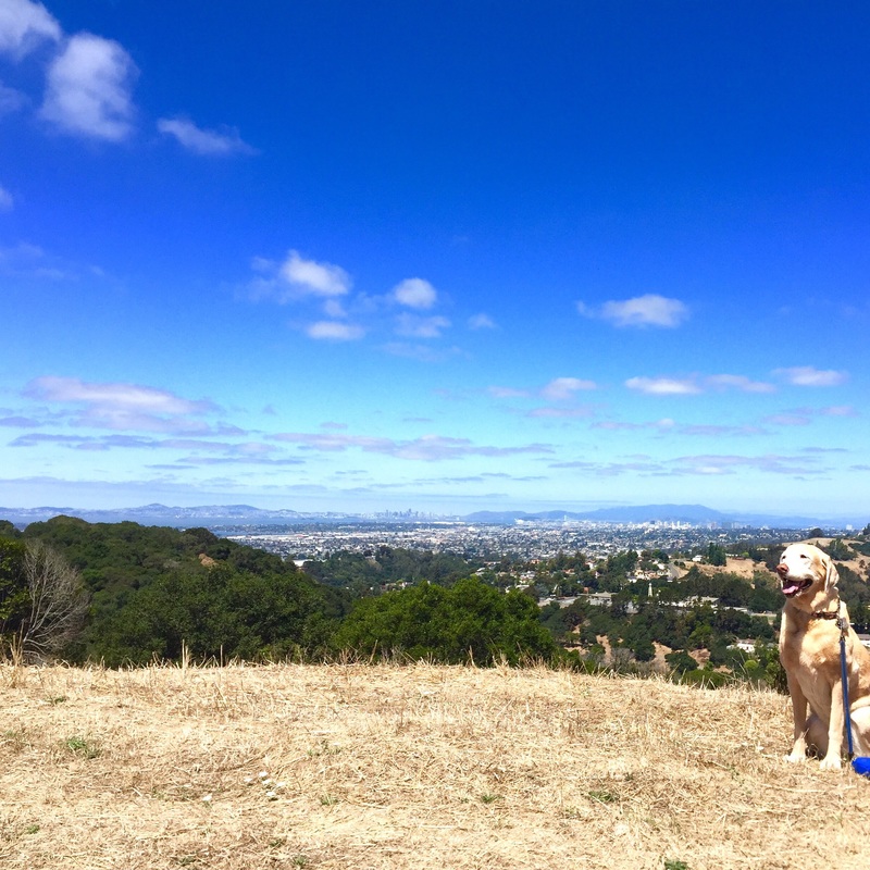
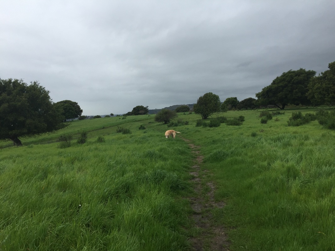
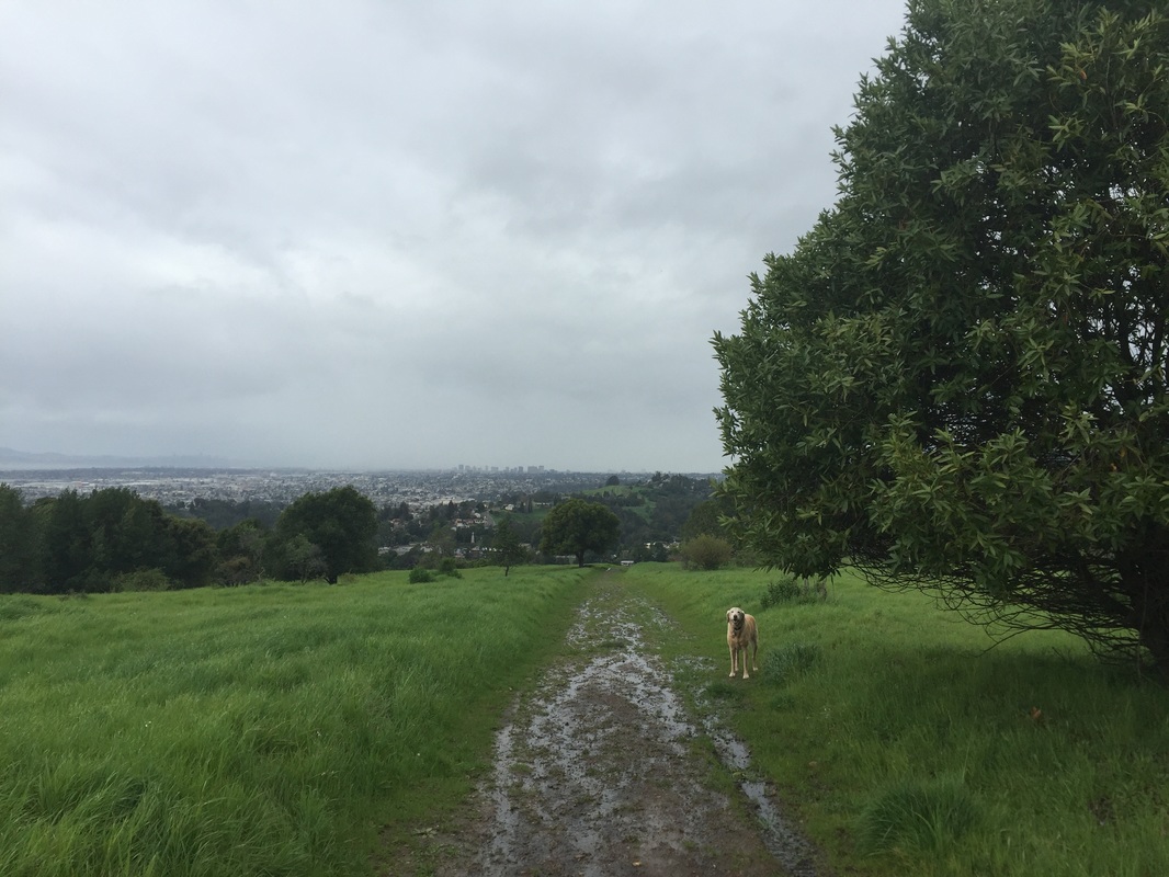
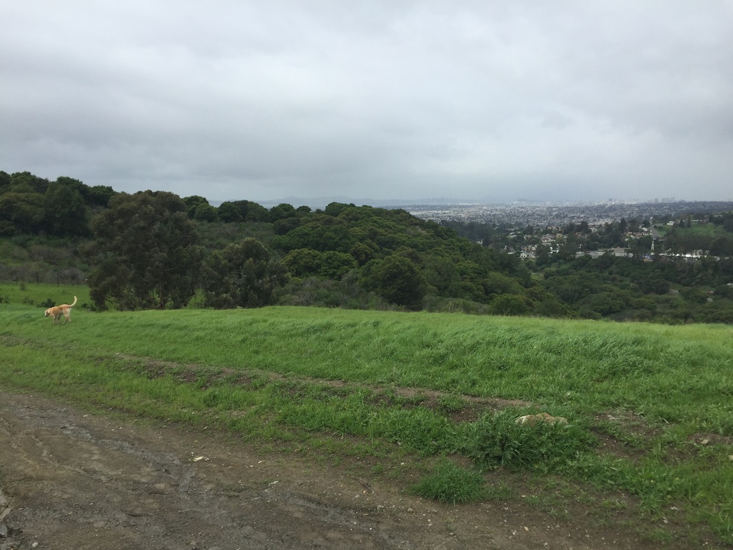
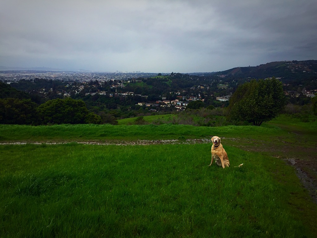
Description: 500-acre open space in the Oakland hills with panoramic views of the bay. This park is split in two by a heavily wooded area in the center, split by Golf Links Rd. You can start at the Malcom Ave entrance to hike near the animals, or if you want to explore the upper trails, you should park at the Skyline entrance.
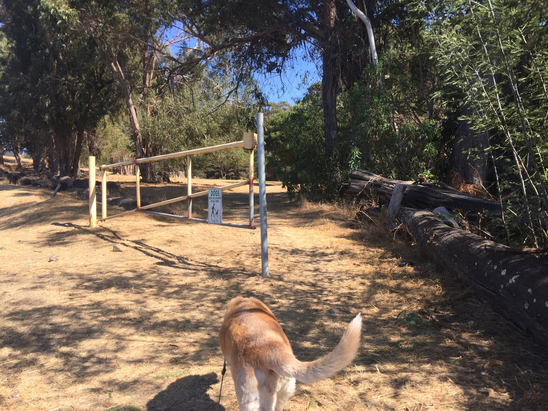
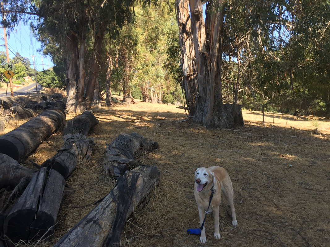
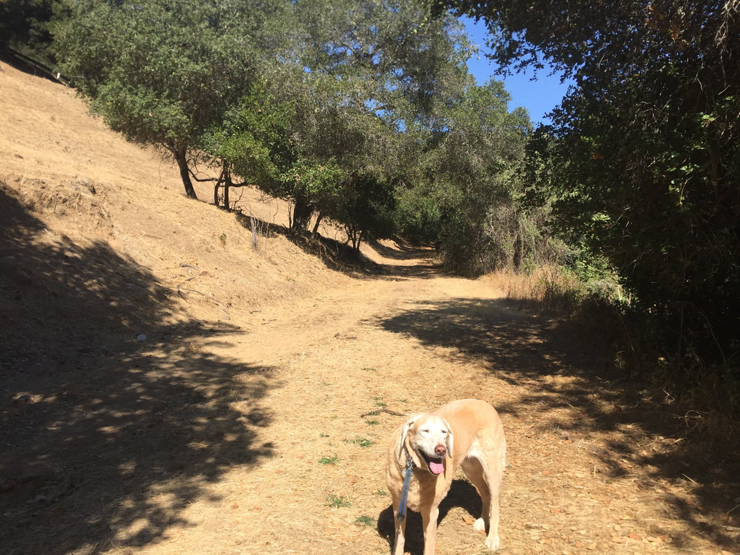
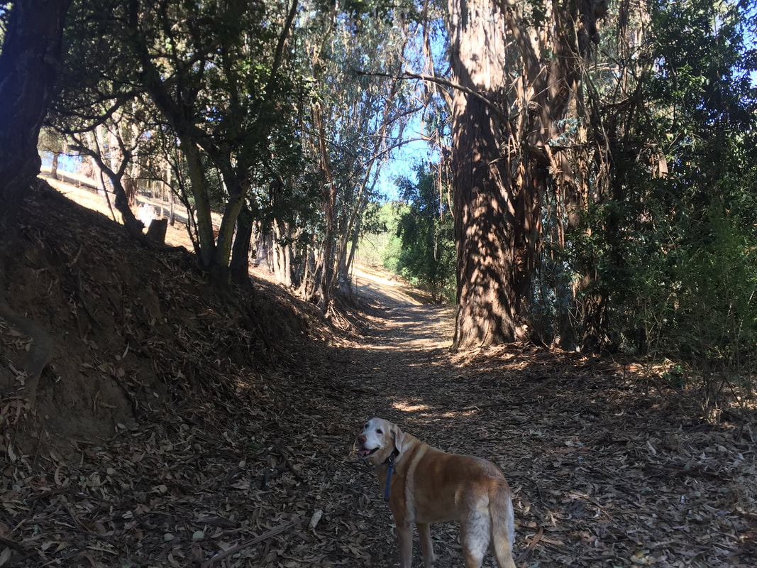
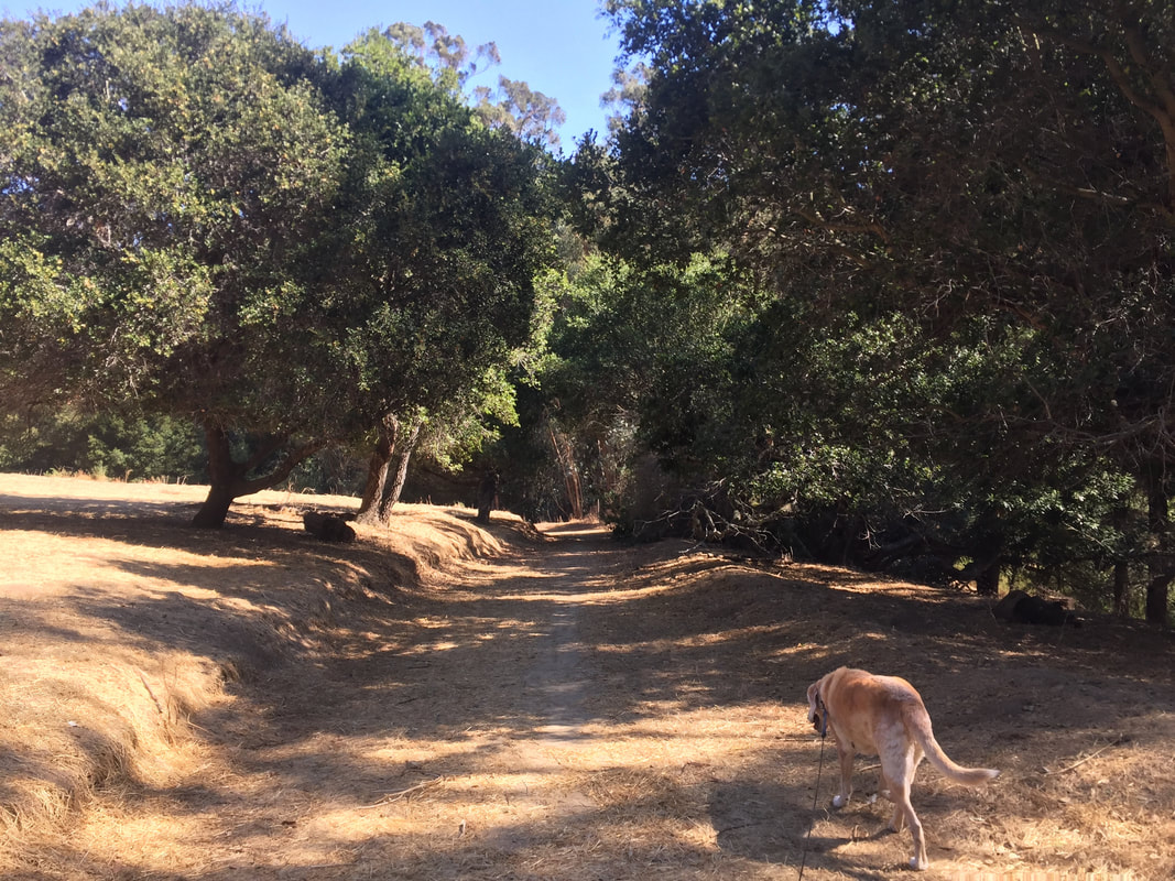
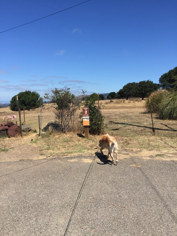
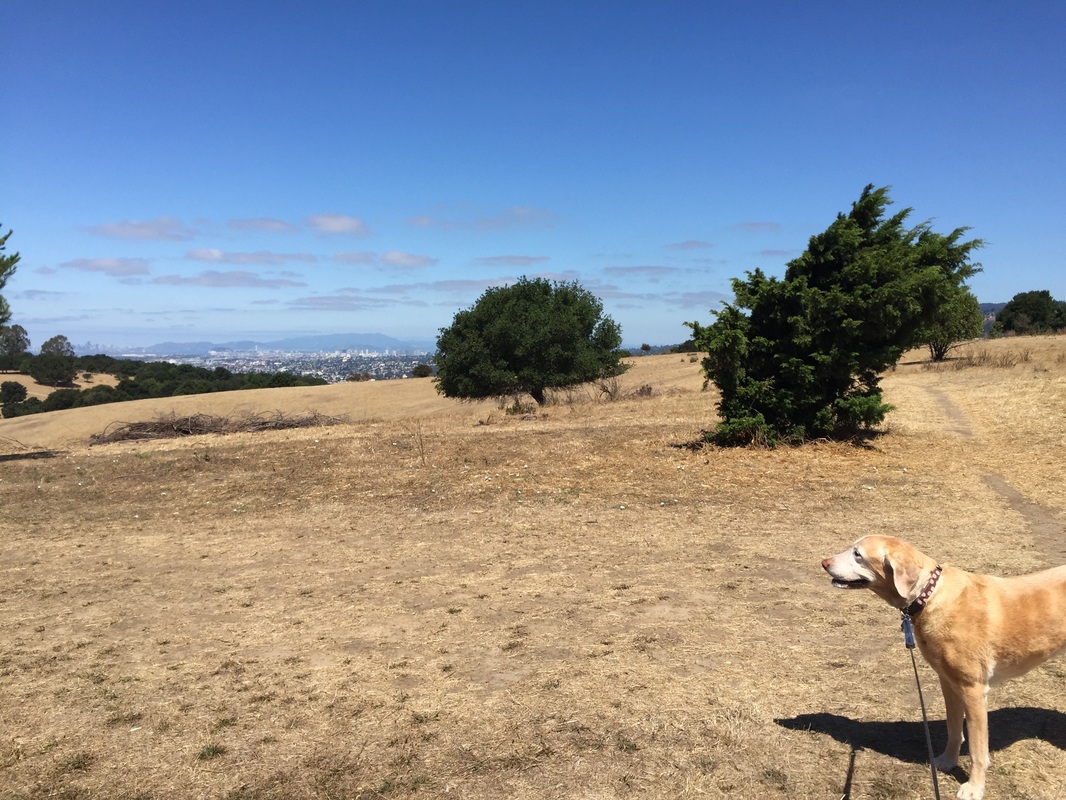
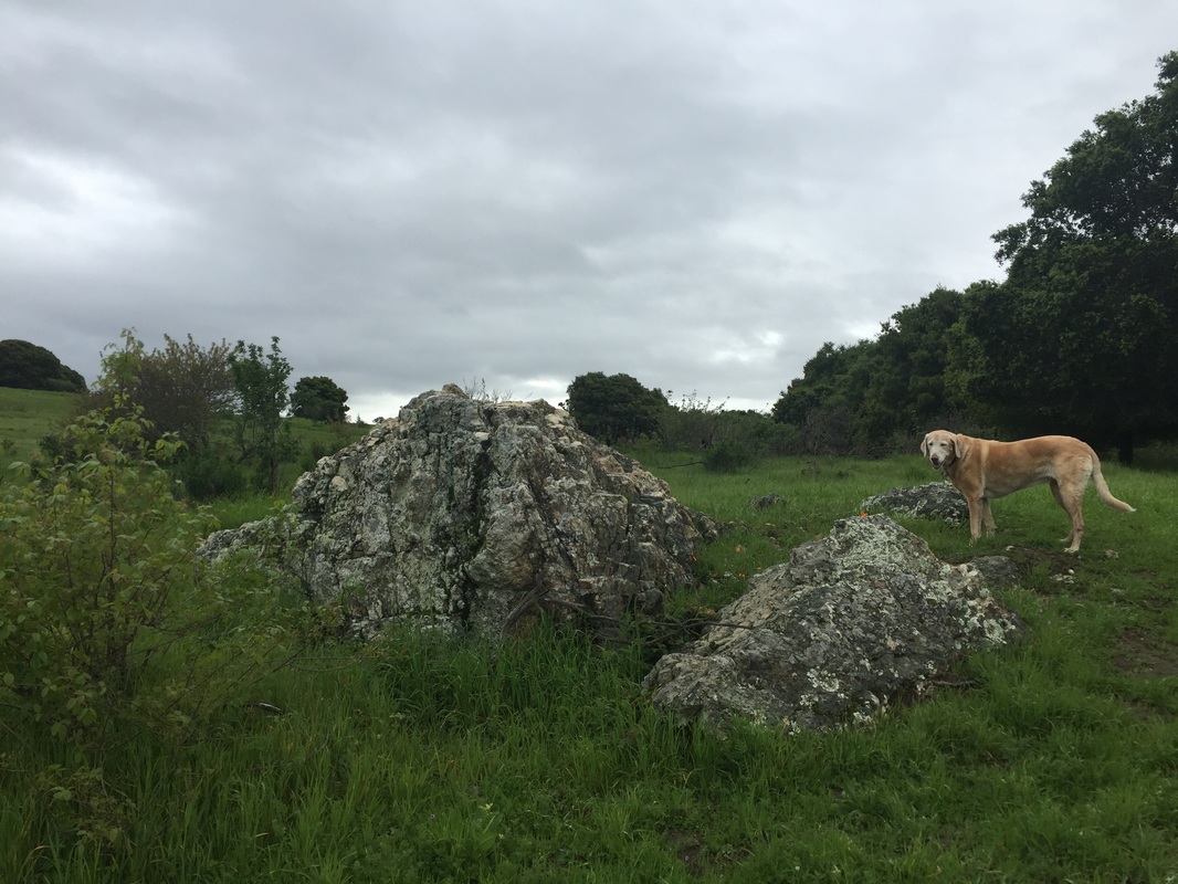
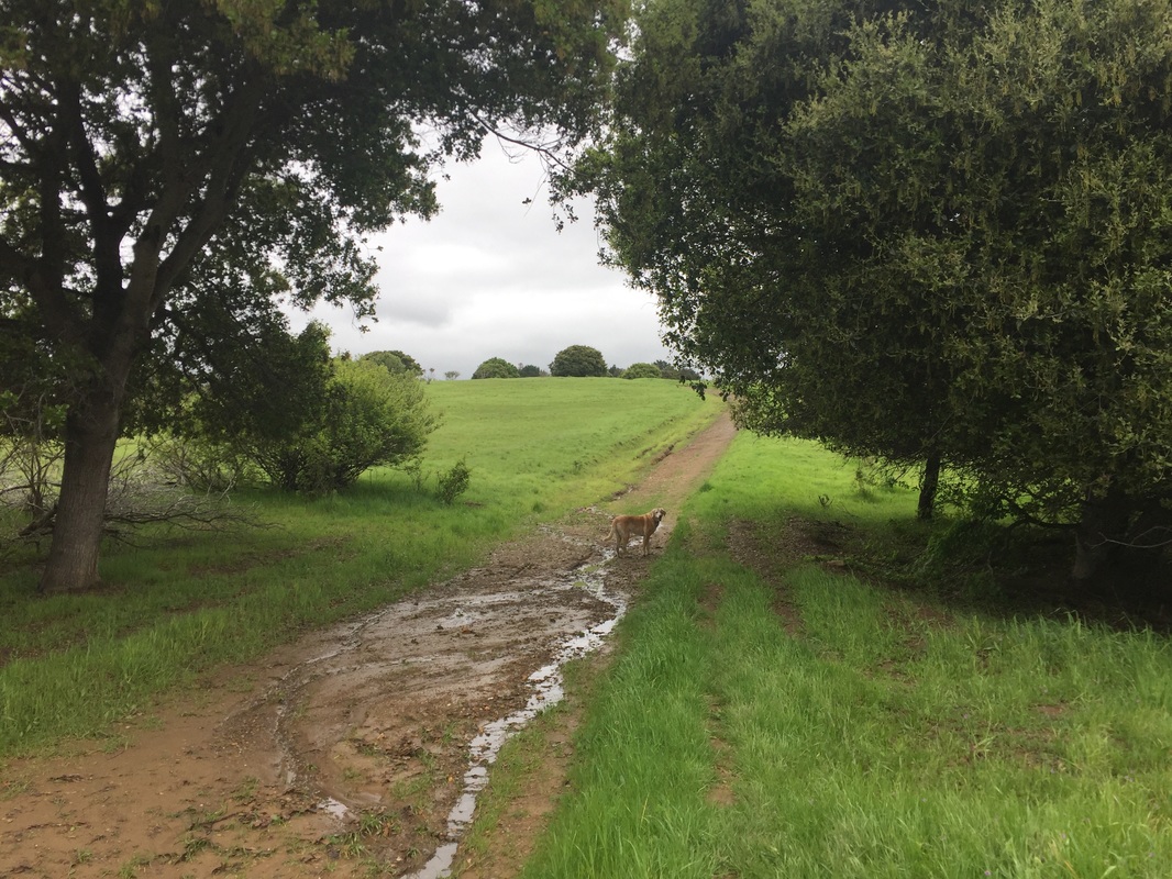
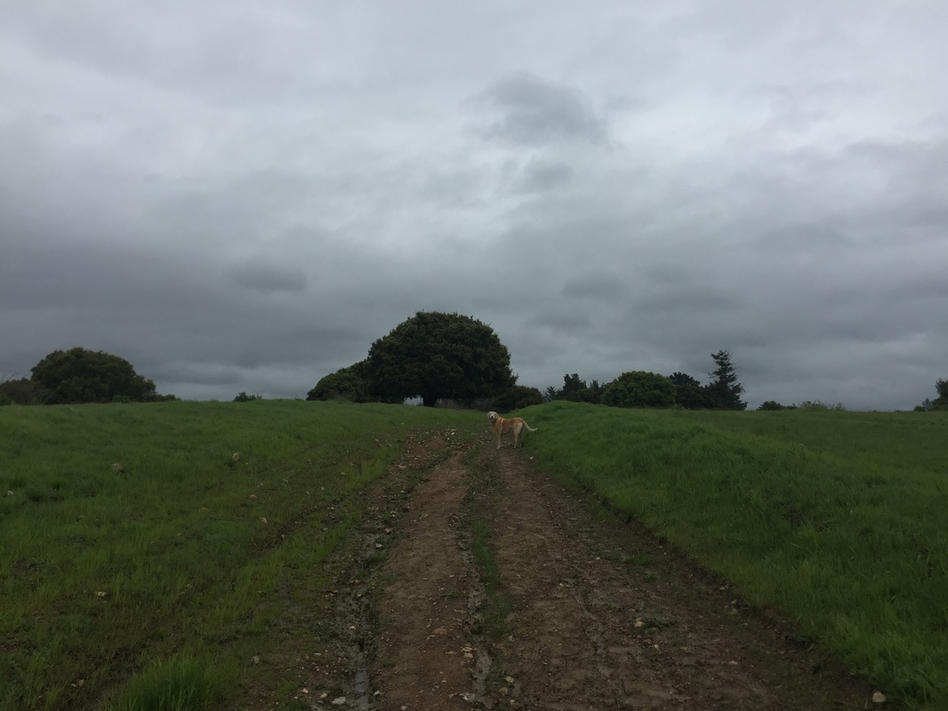
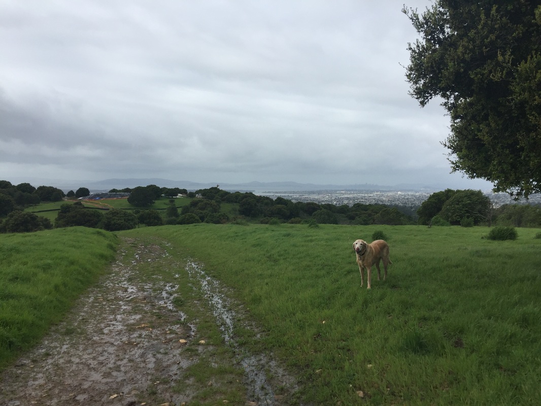
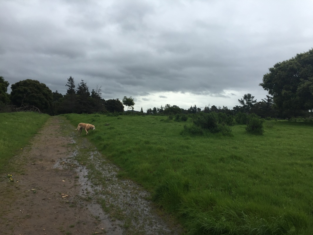
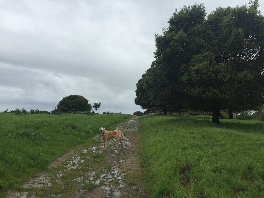
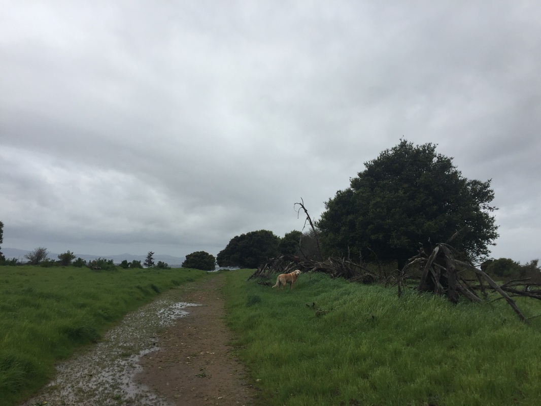
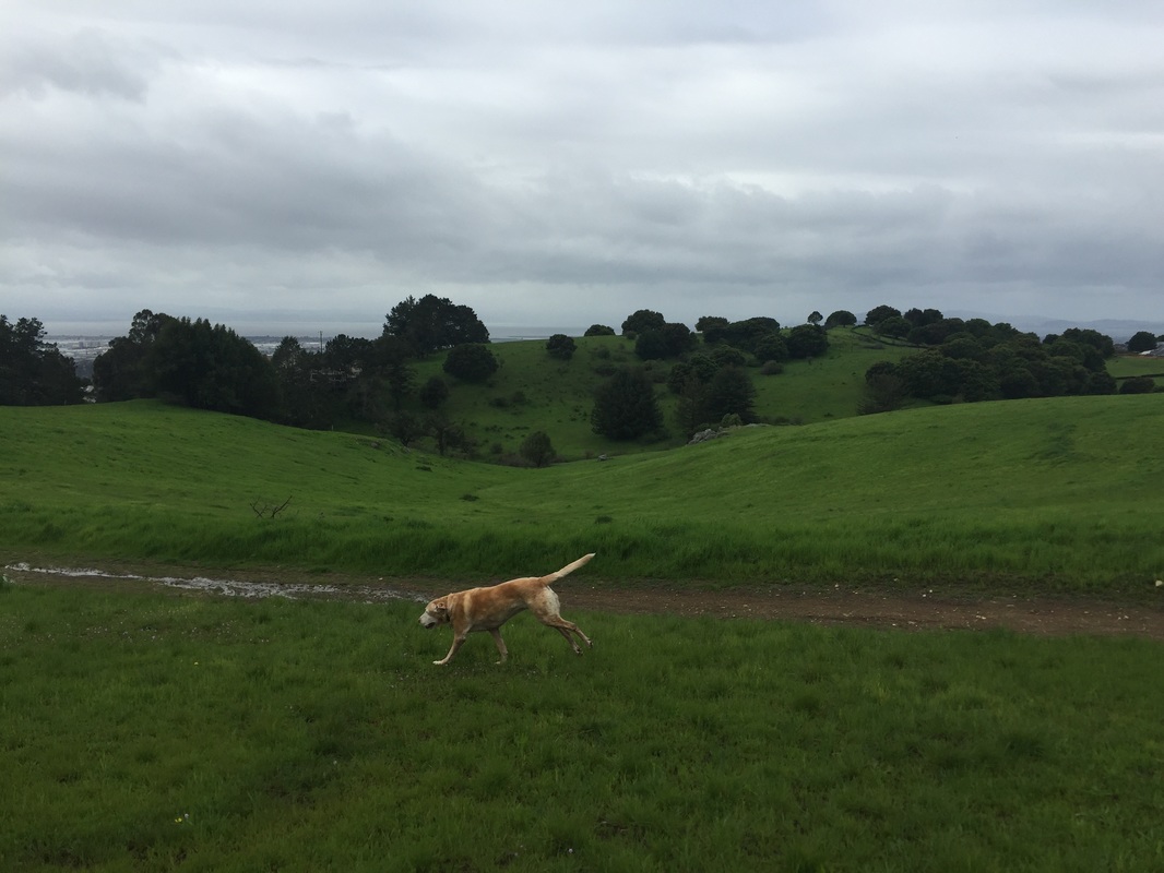
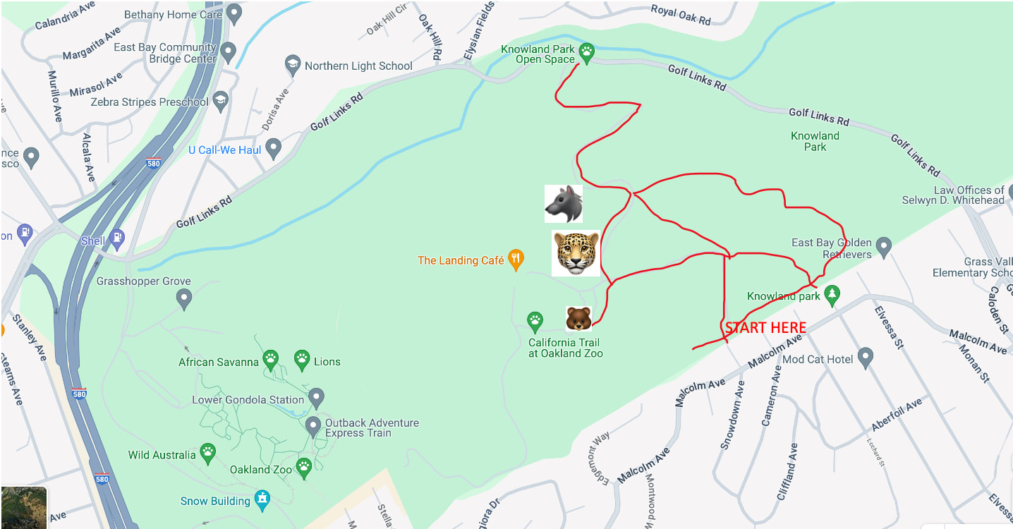
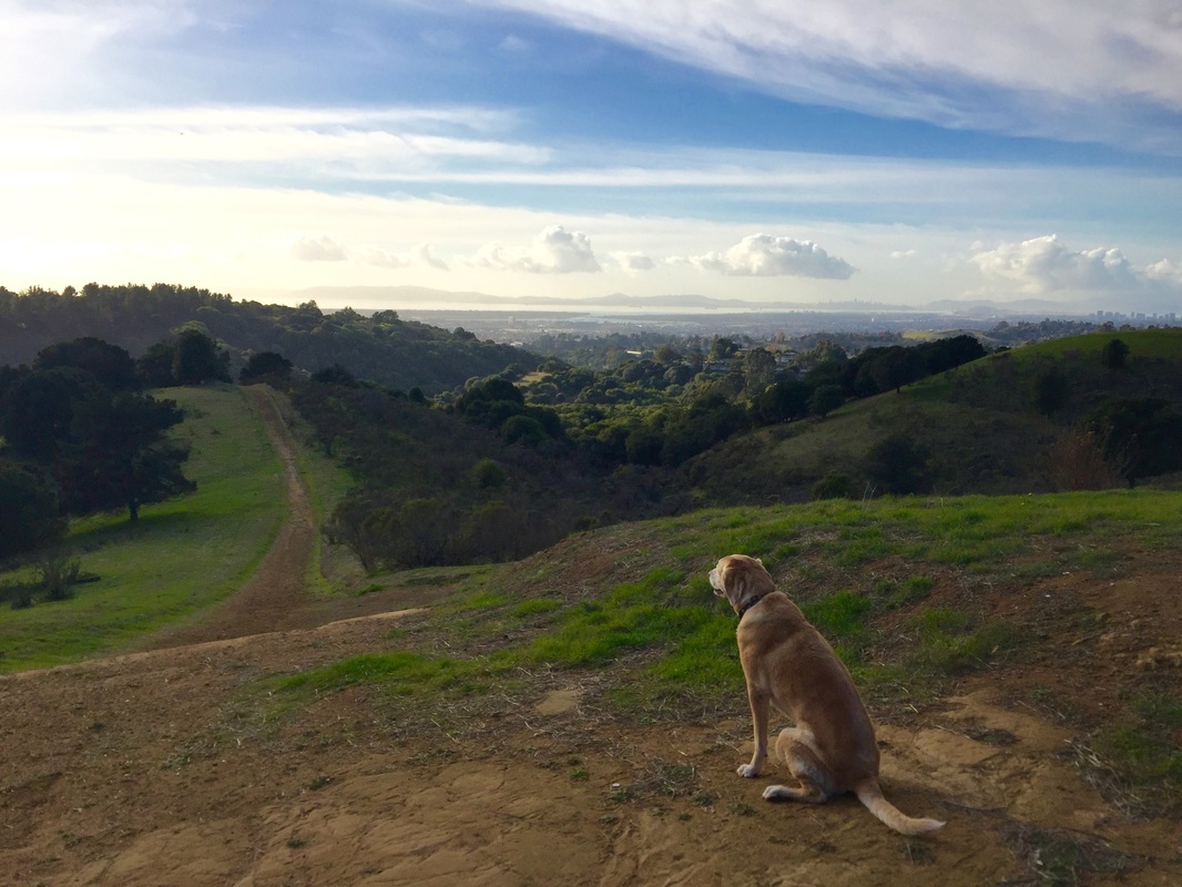
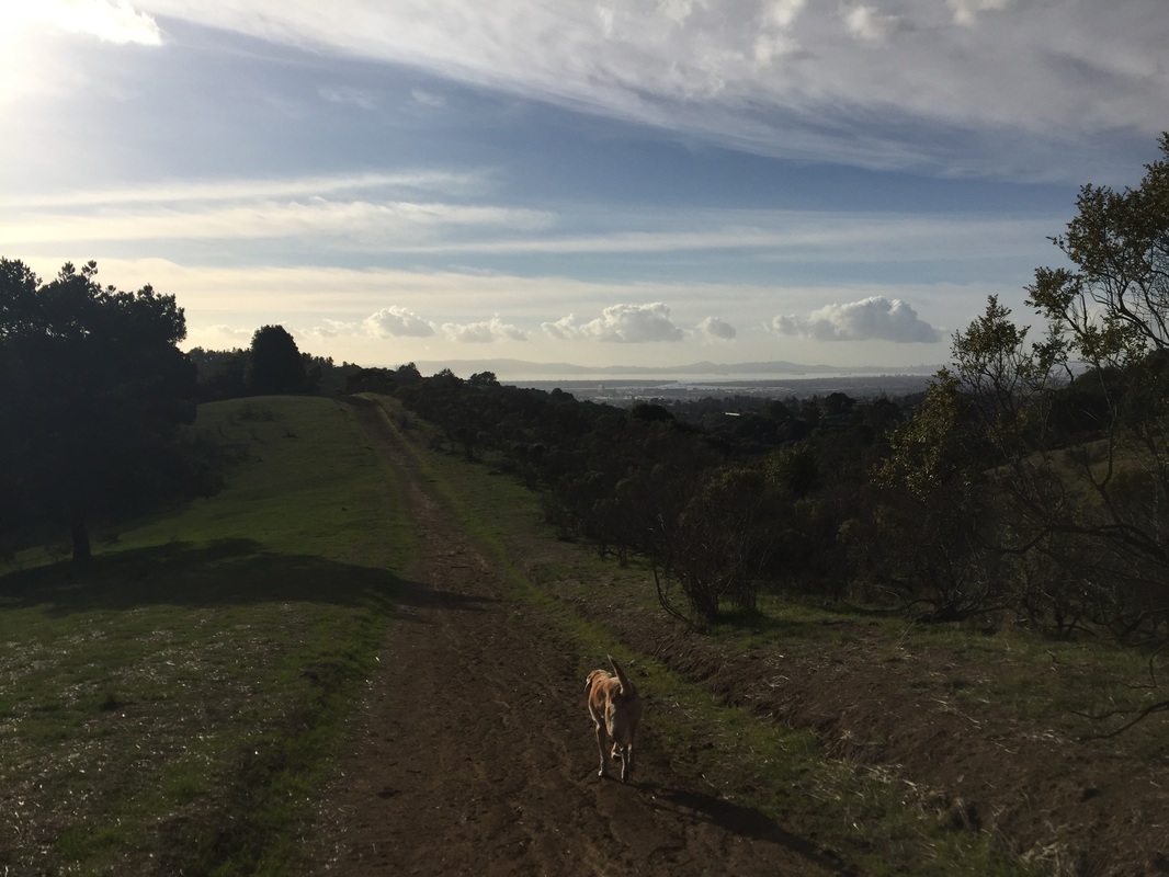
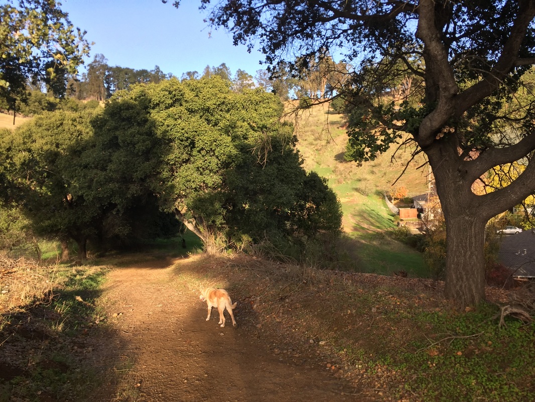
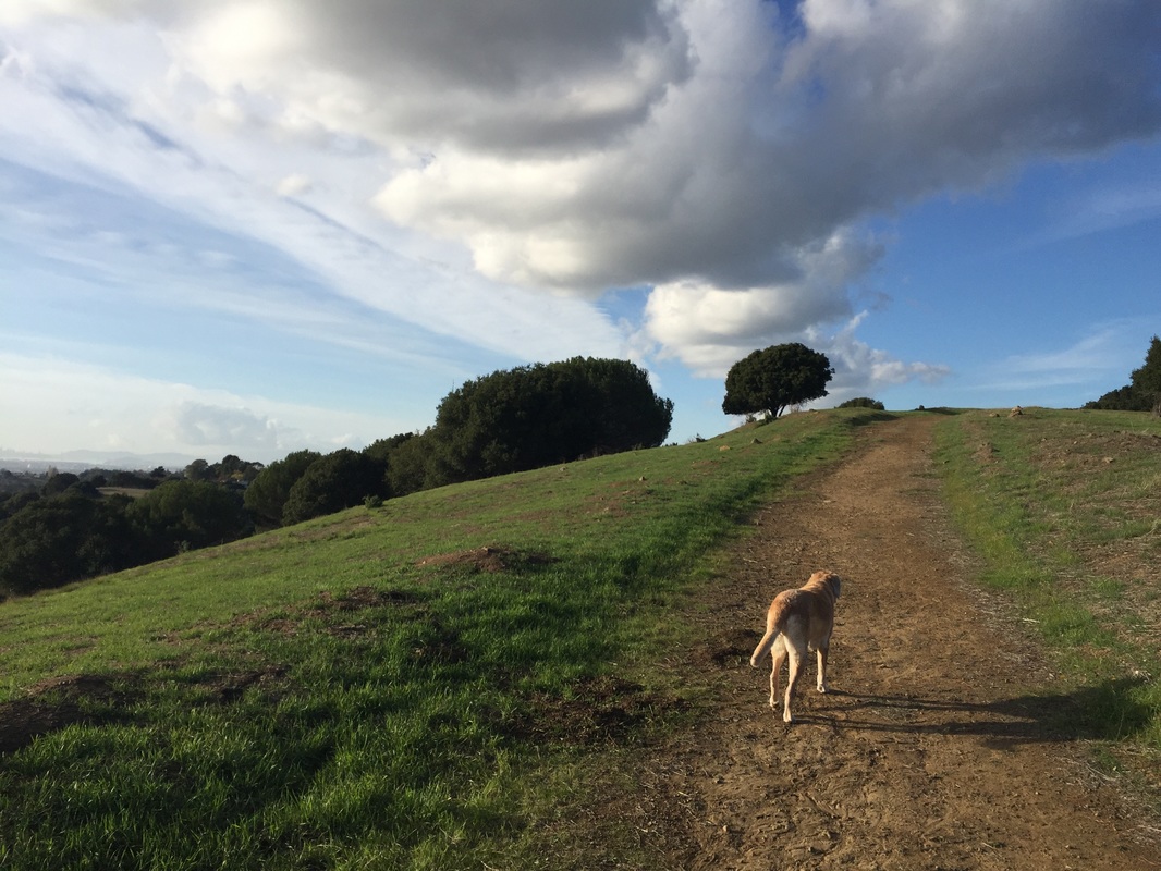
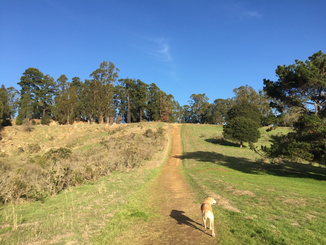
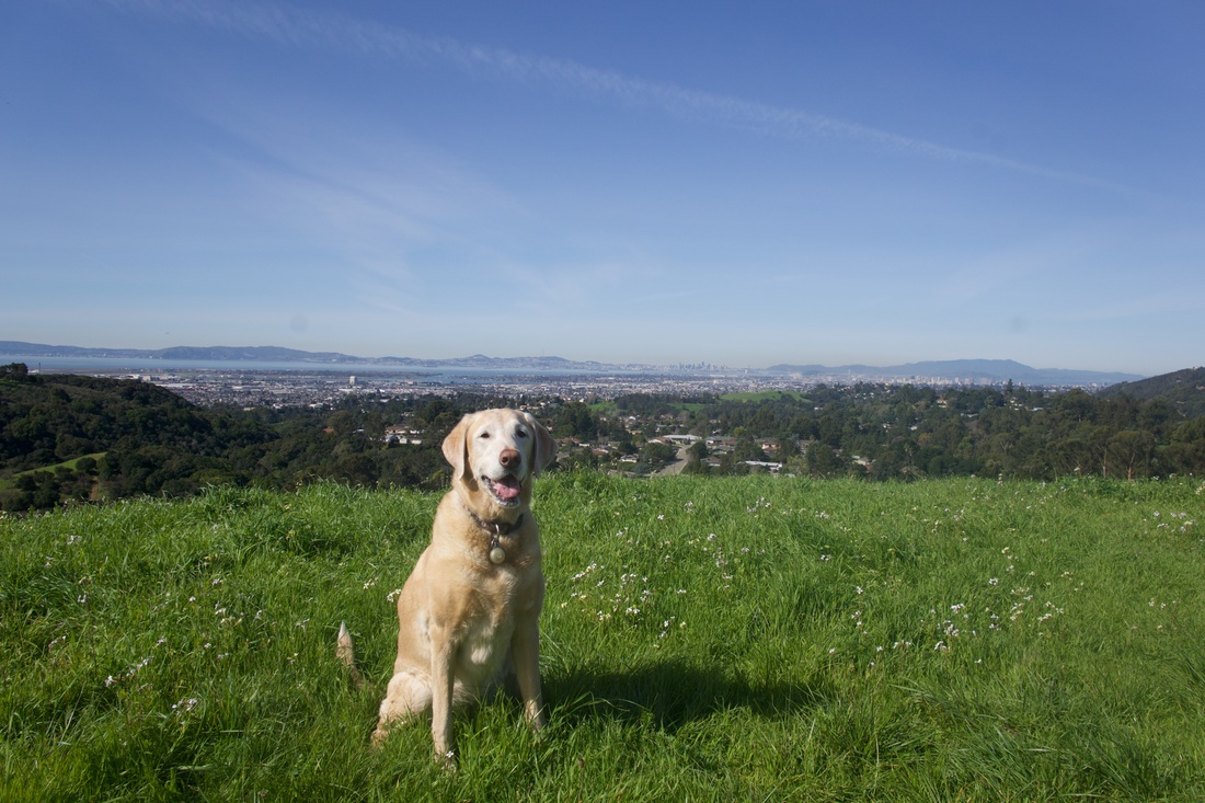
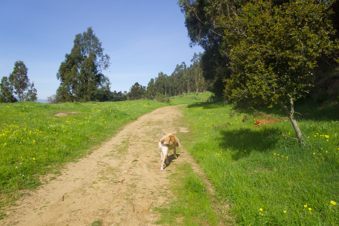
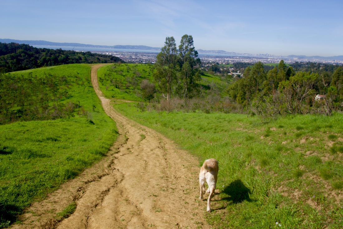
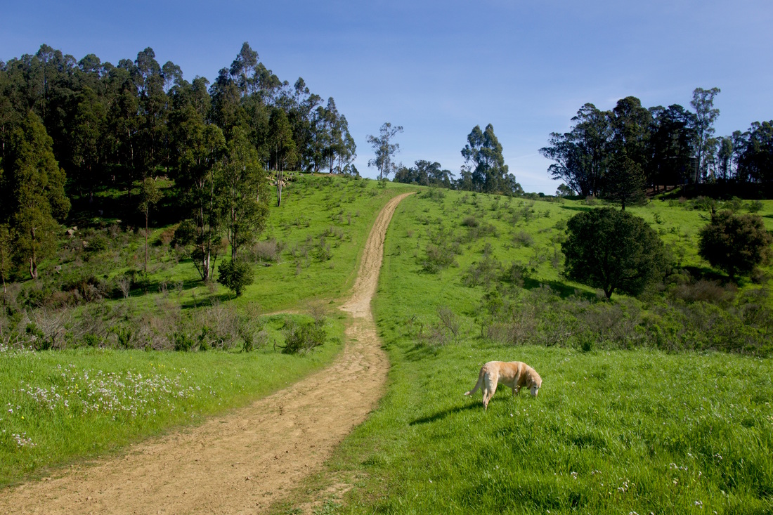
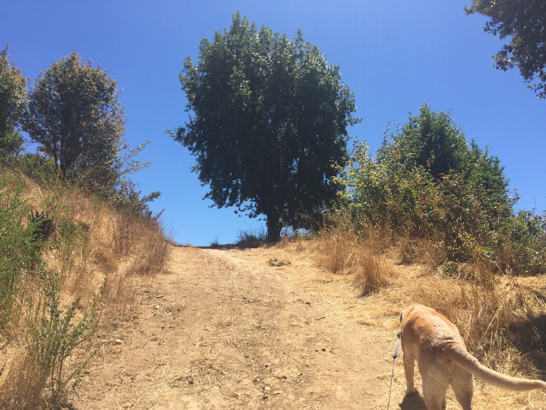
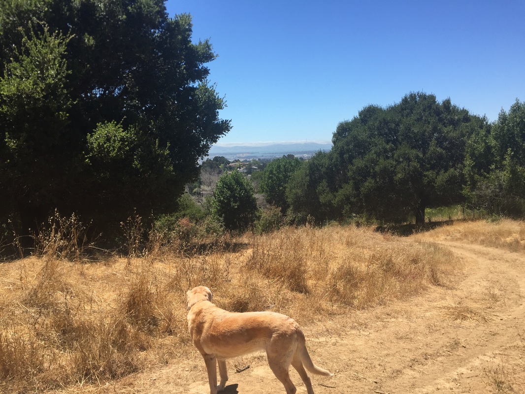
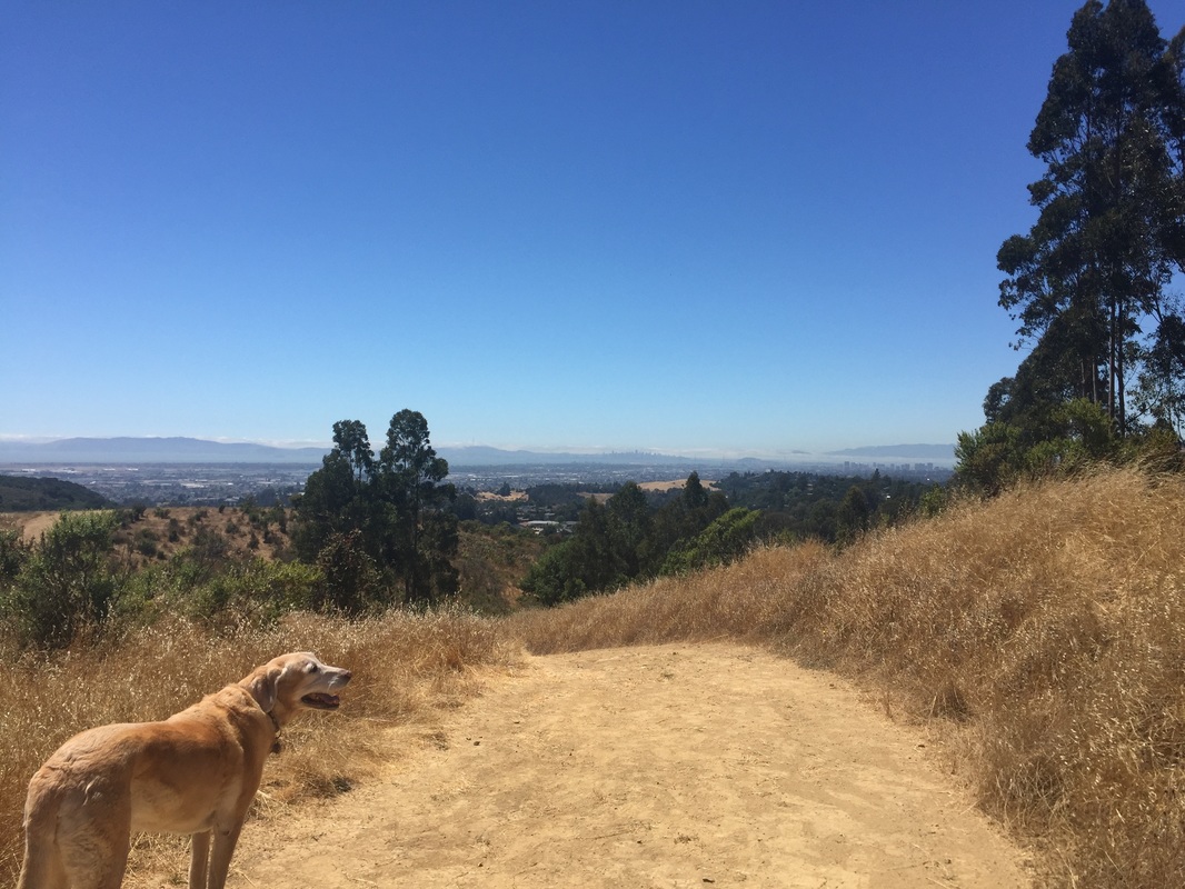
From the Malcom Ave entrance, I prefer to take the trail straight ahead to see some stunning views, and then I proceed left until I feel like taking another trail to loop back. This park has gentle hills and is an easier walk than the Skyline entrance. Since you are in the hills, there is often a nice breeze, but the trails are mostly open and in direct sunlight. The dirt can get hot under your dog’s paws, so if it’s summertime I would recommend only visiting in the morning or late afternoon. After it's rained, the main trails aren't too muddy, but some of the lower ones flood with water. This used to be a wide open hillside, but the Oakland Zoo expanded and put up a chain link fence. This has cut off access to some of the steeper trails, but now you might get lucky and catch a glimpse of some of the animals (gray wolves, grizzy bears and jaguars). In 2018 a new trail was put in that takes you along side the grizzly bear and bison fence to a swing overlooking the bay. To reach it, walk straight ahead, past the fire gate to a mostly flat trail. When it splits, take the wide trail to the left, which slopes steeply downhill towards the fenced-off area of the Oakland Zoo. As you approach the bottom with a fence in front of you, you will see a "public trail" sign sign to your left. This trail may or may not be easy to follow, depending on if it has become overgrown. Follow it up the hill. Once you reach the top you'll see another public trail sign pointing back the direction you came. Follow the wide dirt road towards the zoo fence and you will begin to slope downhill to the left. Enjoy beautiful panoramic views of the Bay Area from this vantage point and also a rope swing. Retrace your steps to the first "public trail" sign, take a left towards the fence and you might see jaguars here. Continue to your right and you might see gray wolves. There are various connecting trails from here (see link to map below).
The Skyline entrance has beautiful panoramic views of the bay and some steep, challenging trails. From the parking area, proceed through the yellow barrier and walk straight ahead. You will immediately see views of San Francisco. Walk a little further and you will see a steep trail down to your left. Hike down, and the trail will soon split to the right. The right trail will take you down towards the golf course. If you stay on the main trail and keep walking down, you will come to a fork with trails leading towards Keys Ct. and Golf Links Rd.
The Pebble Beach Dr. trailhead is below the Skyline entrance. You can start here and hike up to Skyline and loop back to where you started.
The Golf Links Rd and Calafia Drive trailhead is on Gold Links Road, right across the crosswalk from Calafia Drive, at the yellow fire gate. The trail heads downhill and then up again, and flattens out. It has intermittent shade and runs along a seasonal creek. After half a mile it ends near Elysian Fields Drive. The round trip hike is only one mile. We tried walking along the road to the next entrance to reach other trails within Knowland Park, but unfortunately there's no shoulder and I wouldn't recommend walking because it's not safe. You can drive to the next entrance in only a couple minutes.
This park does not have trash cans, running water or restrooms.
IMPORTANT: This park may not last, so enjoy it while you can! The Oakland Zoo has plans to expand and take away much of this open space from the public. However, Knowland Park Supporters are fighting to preserve this land.
OR
37.758390, -122.122038 (Entrance off of Skyline Blvd near Keller)
OR
37.760818, -122.126746 (End of Pebble Beach Drive, Oakland)
OR
Calafia Ave and Golf Links Road, Oakland, CA
Parking: For the first entrance, you can enter the park from several of the streets off of Malcom Ave (Snowdown, Cameron, Lochard, Ettrick, Elvessa, Fallbrook Way). These are all dead-end streets, so you can park where available but please be considerate of the residents (we usually park across the street from Malcom Ave because there's more space, and you're not parking right in front of someone's house.
For the second entrance, there is a pullout on Skyline Blvd, down a paved but unmarked street, right in front of the yellow barrier and "Park Rules" sign. For the third entrance, there is neighborhood parking at the trailhead. Please be respectful of residents. Dogs are asked to be on-leash near the trailhead.
For the Golf Links Road Trailhead, you can park on Calafia Ave and cross the street at the crosswalk. Please be respectful of residents. Trailhead is at the yellow fire gate.
Hours: 6 A.M. to 10 P.M.
Type: Hike (moderate)
Regulations: Dogs allowed off-leash if under voice control. Dogs are asked to be on-leash near the Pebble Beach Dr. trailhead. No bags or trash bins, so bring your own bags and pack out your trash. (Update: Neighbors put in a trash can at the entrance off of Ettrick Street)
Best time to visit: Year-round, but if it's a hot day, only in the early morning/late afternoon.
Description: 500-acre open space in the Oakland hills with panoramic views of the bay. This park is split in two by a heavily wooded area in the center, split by Golf Links Rd. You can start at the Malcom Ave entrance to hike near the animals, or if you want to explore the upper trails, you should park at the Skyline entrance.
From the Malcom Ave entrance, I prefer to take the trail straight ahead to see some stunning views, and then I proceed left until I feel like taking another trail to loop back. This park has gentle hills and is an easier walk than the Skyline entrance. Since you are in the hills, there is often a nice breeze, but the trails are mostly open and in direct sunlight. The dirt can get hot under your dog’s paws, so if it’s summertime I would recommend only visiting in the morning or late afternoon. After it's rained, the main trails aren't too muddy, but some of the lower ones flood with water. This used to be a wide open hillside, but the Oakland Zoo expanded and put up a chain link fence. This has cut off access to some of the steeper trails, but now you might get lucky and catch a glimpse of some of the animals (gray wolves, grizzy bears and jaguars). In 2018 a new trail was put in that takes you along side the grizzly bear and bison fence to a swing overlooking the bay. To reach it, walk straight ahead, past the fire gate to a mostly flat trail. When it splits, take the wide trail to the left, which slopes steeply downhill towards the fenced-off area of the Oakland Zoo. As you approach the bottom with a fence in front of you, you will see a "public trail" sign sign to your left. This trail may or may not be easy to follow, depending on if it has become overgrown. Follow it up the hill. Once you reach the top you'll see another public trail sign pointing back the direction you came. Follow the wide dirt road towards the zoo fence and you will begin to slope downhill to the left. Enjoy beautiful panoramic views of the Bay Area from this vantage point and also a rope swing. Retrace your steps to the first "public trail" sign, take a left towards the fence and you might see jaguars here. Continue to your right and you might see gray wolves. There are various connecting trails from here (see link to map below).
The Skyline entrance has beautiful panoramic views of the bay and some steep, challenging trails. From the parking area, proceed through the yellow barrier and walk straight ahead. You will immediately see views of San Francisco. Walk a little further and you will see a steep trail down to your left. Hike down, and the trail will soon split to the right. The right trail will take you down towards the golf course. If you stay on the main trail and keep walking down, you will come to a fork with trails leading towards Keys Ct. and Golf Links Rd.
The Pebble Beach Dr. trailhead is below the Skyline entrance. You can start here and hike up to Skyline and loop back to where you started.
The Golf Links Rd and Calafia Drive trailhead is on Gold Links Road, right across the crosswalk from Calafia Drive, at the yellow fire gate. The trail heads downhill and then up again, and flattens out. It has intermittent shade and runs along a seasonal creek. After half a mile it ends near Elysian Fields Drive. The round trip hike is only one mile. We tried walking along the road to the next entrance to reach other trails within Knowland Park, but unfortunately there's no shoulder and I wouldn't recommend walking because it's not safe. You can drive to the next entrance in only a couple minutes.
This park does not have trash cans, running water or restrooms.
IMPORTANT: This park may not last, so enjoy it while you can! The Oakland Zoo has plans to expand and take away much of this open space from the public. However, Knowland Park Supporters are fighting to preserve this land.
Ettrick St. trailhead (to zoo expansion):
Trail pictures (from start at Ettrick St):


Map of trails from Malcom ave trailheads with viewpoints for animals:
Skyline Blvd entrance:
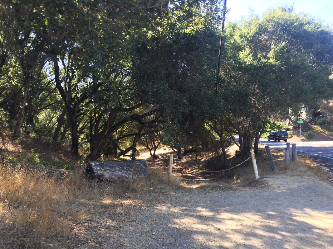
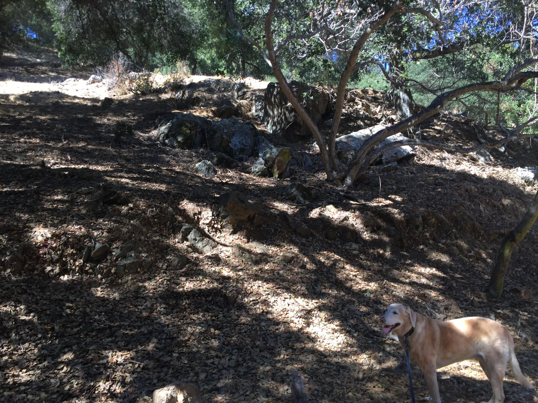
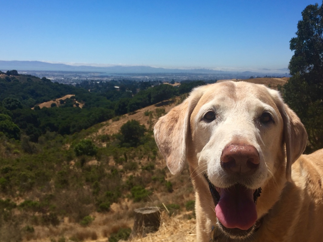
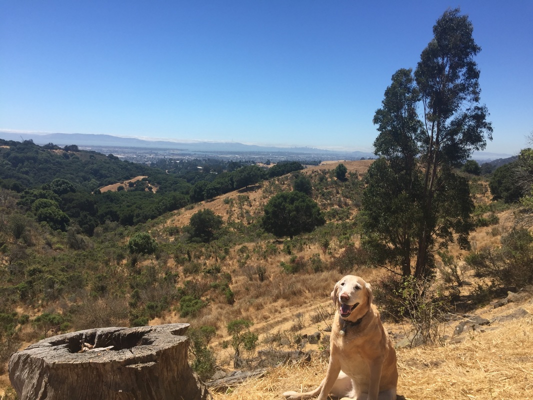
Trail pictures (from Skyline Blvd. entrance)


Pebble Beach Drive trailhead entrance:

Calafia Ave Trailhead and pictures: