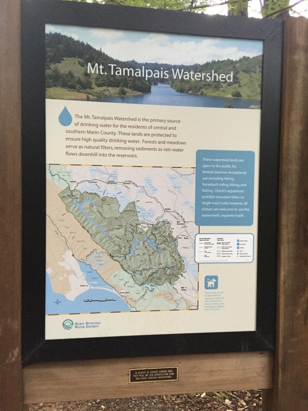
Address: 37°56'11.5"N, 122°38'16.9"W (Fairfax-Bolinas Rd; Hiking from bottom up)
OR
37°54'37.9"N 122°36'45.5"W (Intersection of Pantoll Rd & Ridgecrest Blvd; Hiking from the top down)
Note: the gate to Pantoll Rd is locked from Sunset to 7AM.
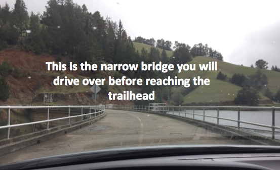
NOTE: I suggest Google street viewing ahead of time, as your phone will probably lose reception 1/2 mile before the trailhead.
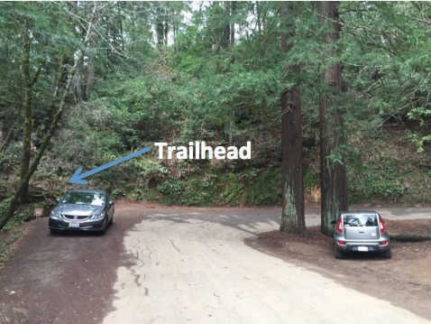
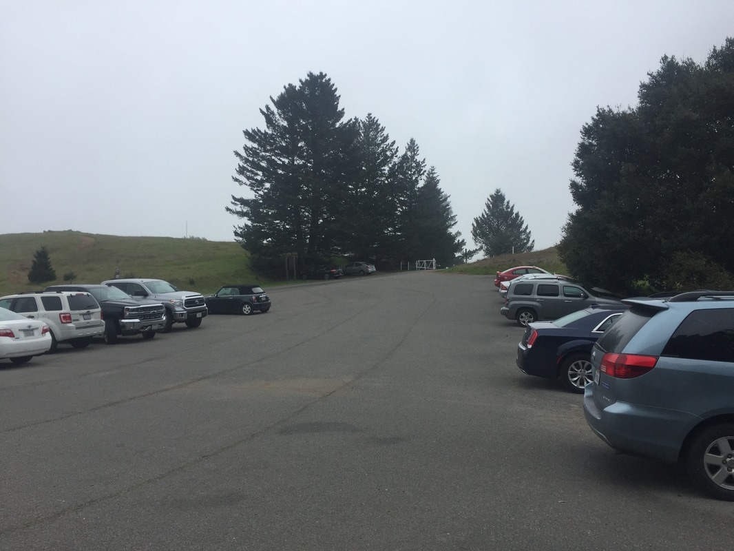
Parking: Free (limited) street parking available at the first address above, you'll see a sign for the trail head on your left at a sharp right bend in the road. Free parking lot a the second address.
Hours: Sunrise to Sunset
Type: Hike (moderate: 3 miles out and back to falls beginning at lower trail head; 9 miles out and back to falls beginning at upper trail head, option for 10 mile loop described below)
Regulations: Dogs allowed on-leash. Swimming is not allowed.
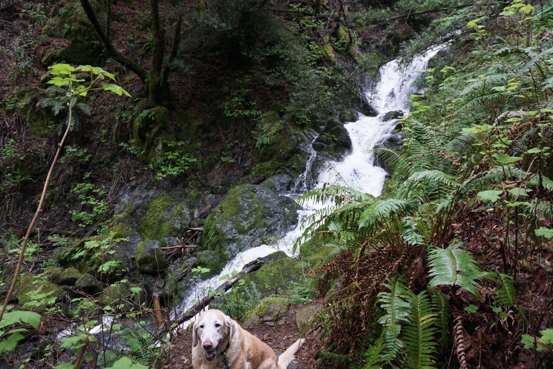
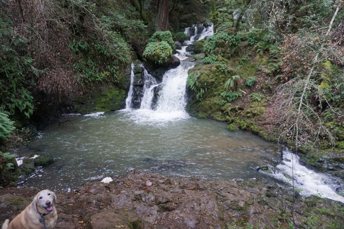
Best time to visit: Winter is the best time to see the falls, but arrive early or you will not find a parking spot
OR
37°54'37.9"N 122°36'45.5"W (Intersection of Pantoll Rd & Ridgecrest Blvd; Hiking from the top down)
Note: the gate to Pantoll Rd is locked from Sunset to 7AM.
NOTE: I suggest Google street viewing ahead of time, as your phone will probably lose reception 1/2 mile before the trailhead.
Parking: Free (limited) street parking available at the first address above, you'll see a sign for the trail head on your left at a sharp right bend in the road. Free parking lot a the second address.
Hours: Sunrise to Sunset
Type: Hike (moderate: 3 miles out and back to falls beginning at lower trail head; 9 miles out and back to falls beginning at upper trail head, option for 10 mile loop described below)
Regulations: Dogs allowed on-leash. Swimming is not allowed.
Best time to visit: Winter is the best time to see the falls, but arrive early or you will not find a parking spot
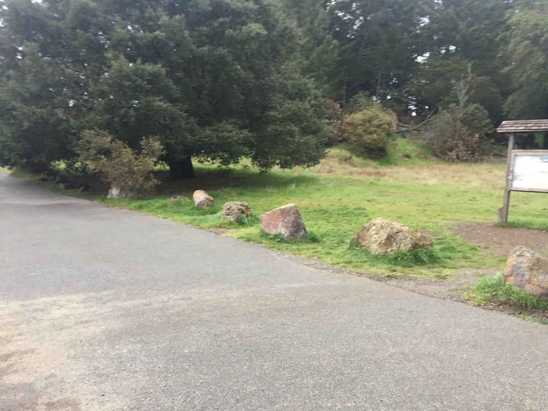
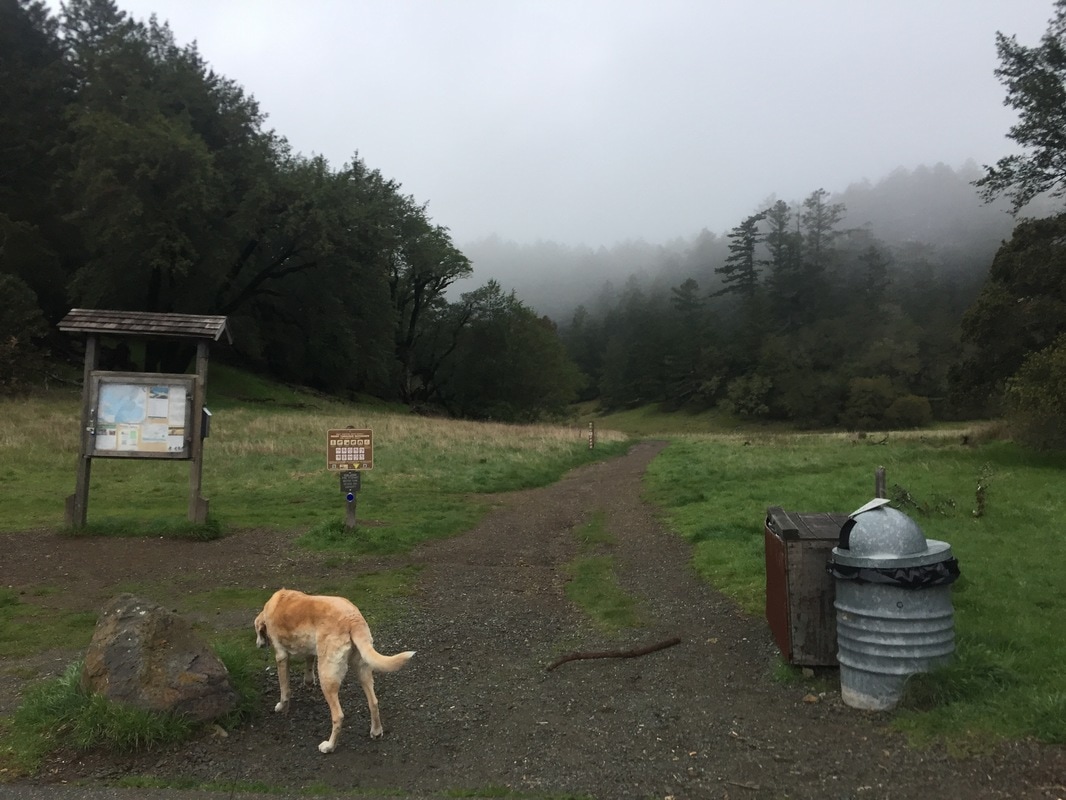
Trailhead at bottom of Cataract Falls:
Alternate trailhead at the top of Cataract Falls:
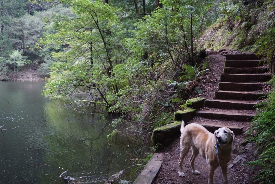
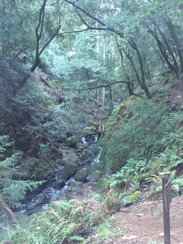
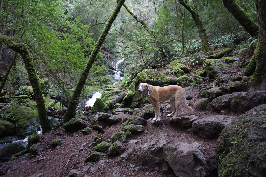
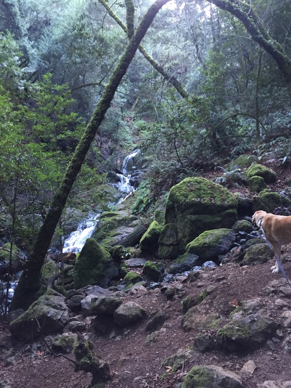
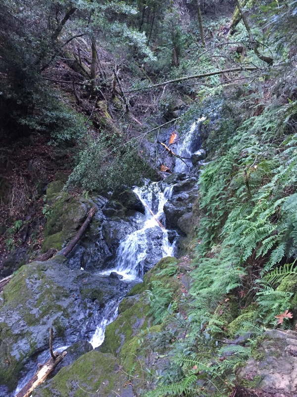
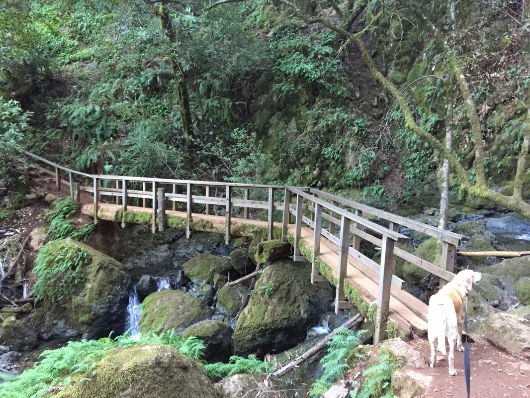
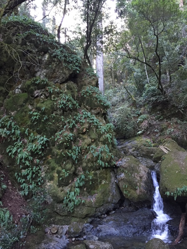
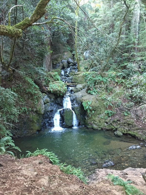
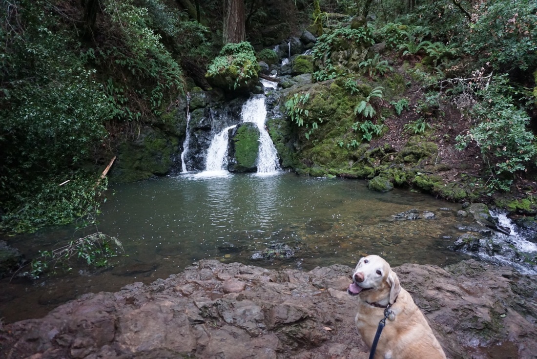
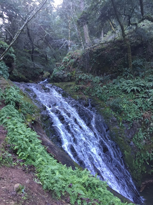
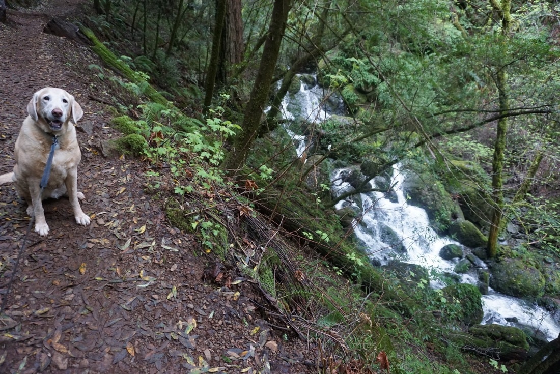
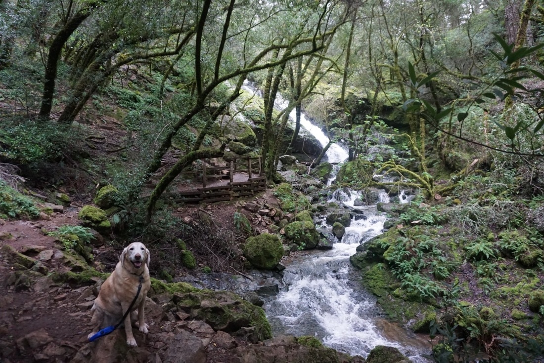
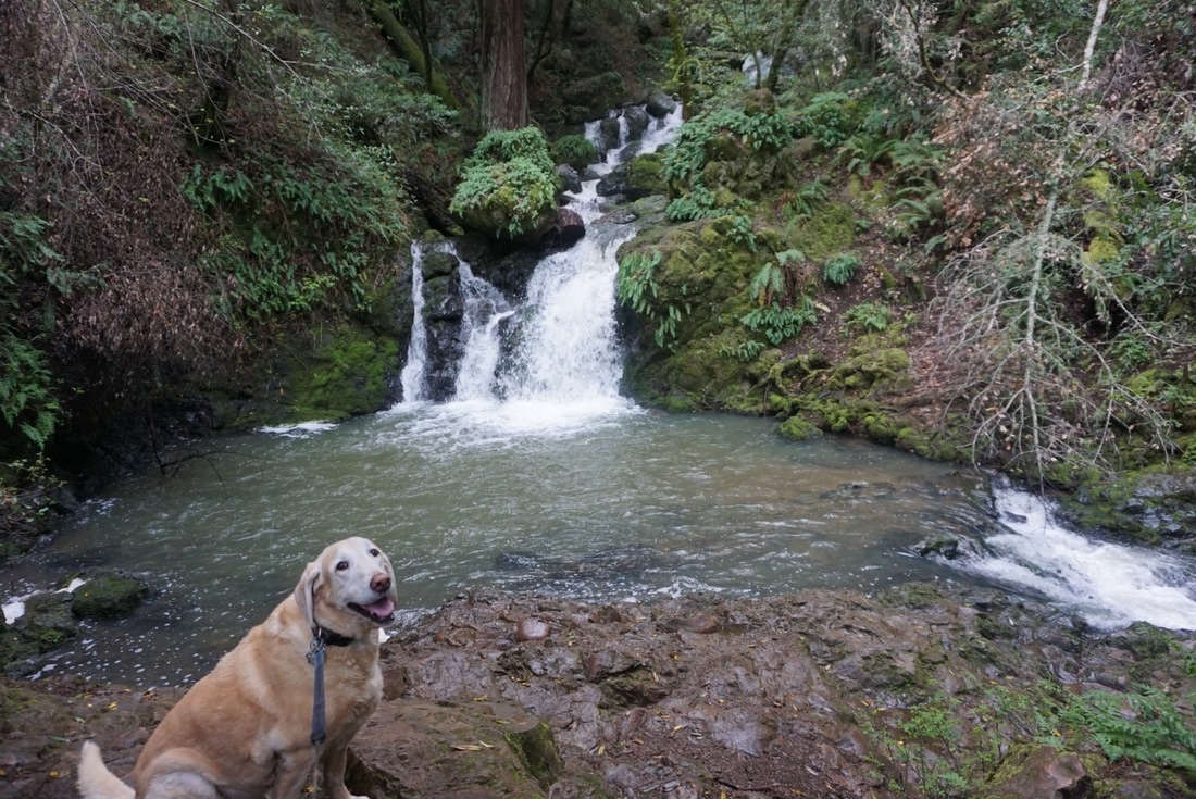
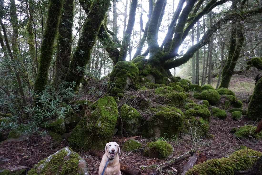
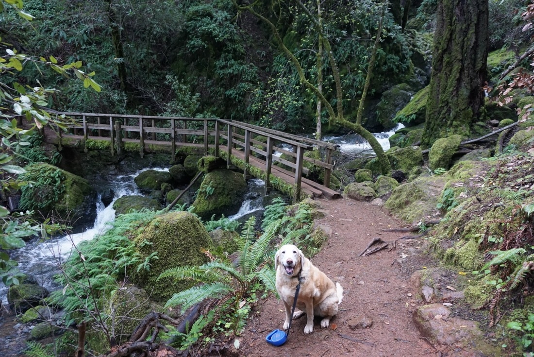
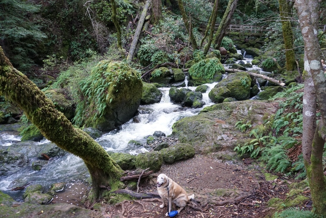
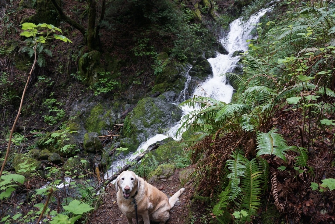
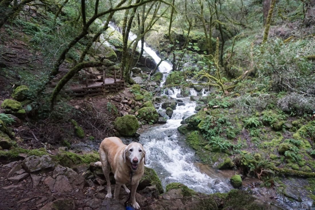
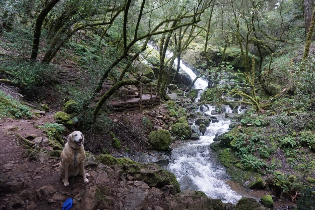
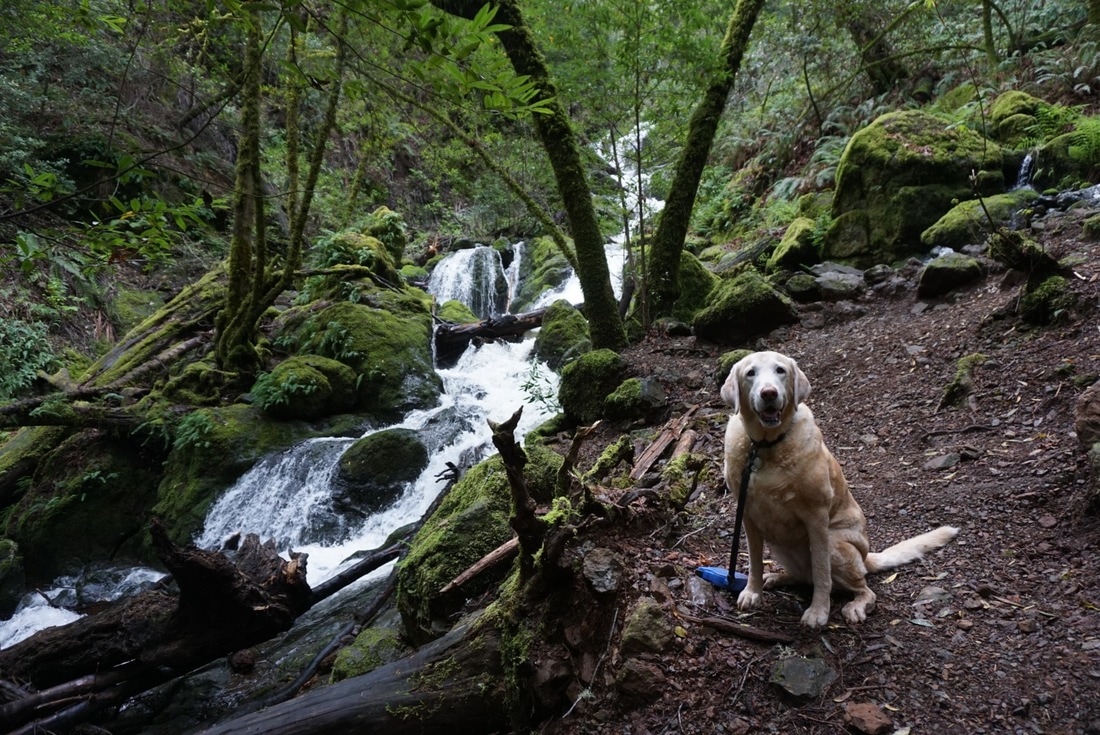
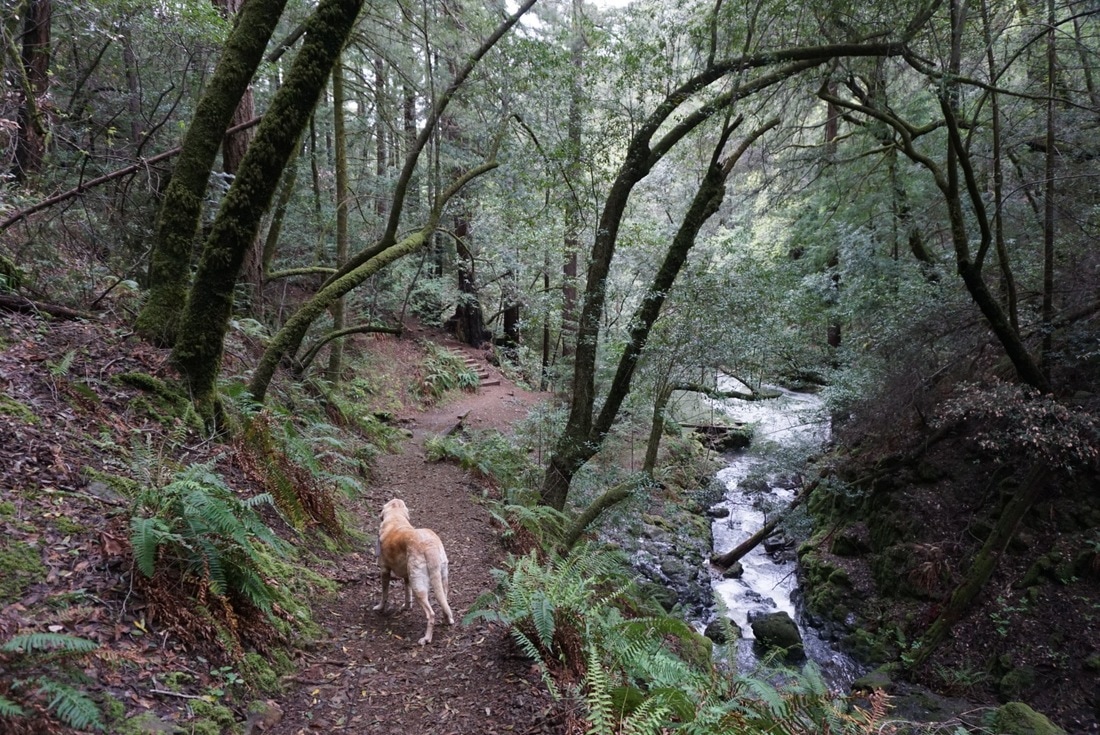
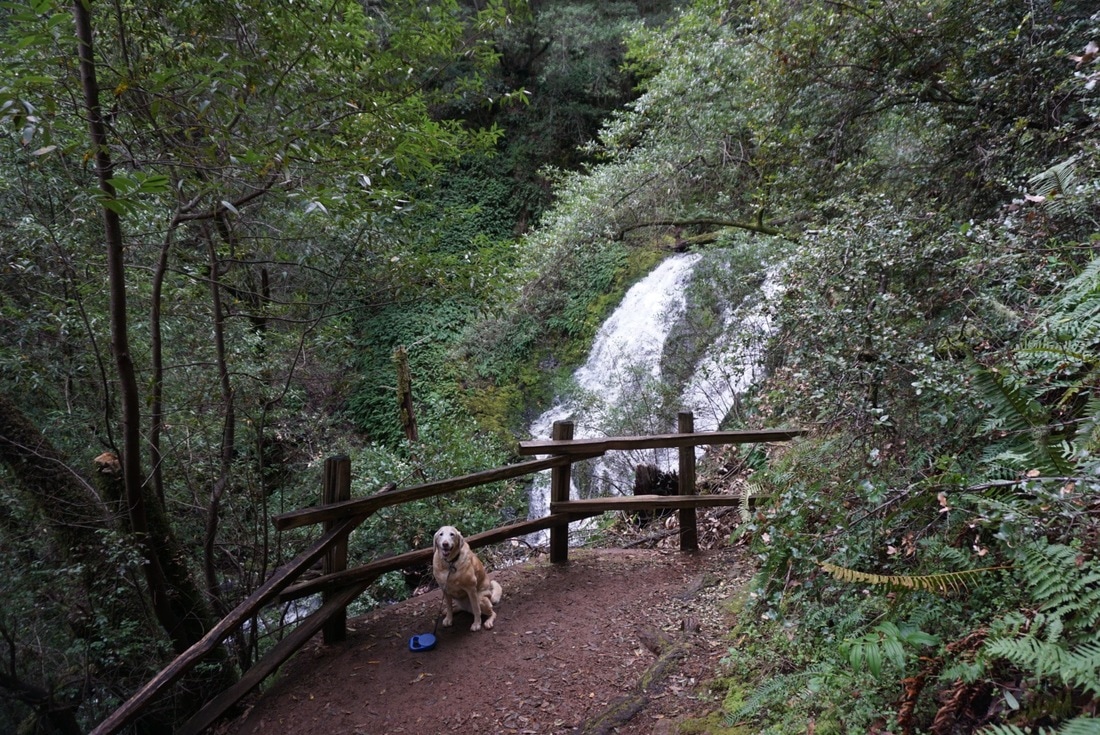
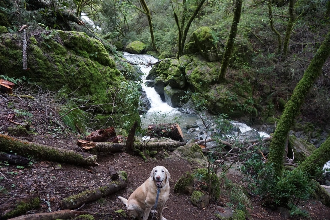
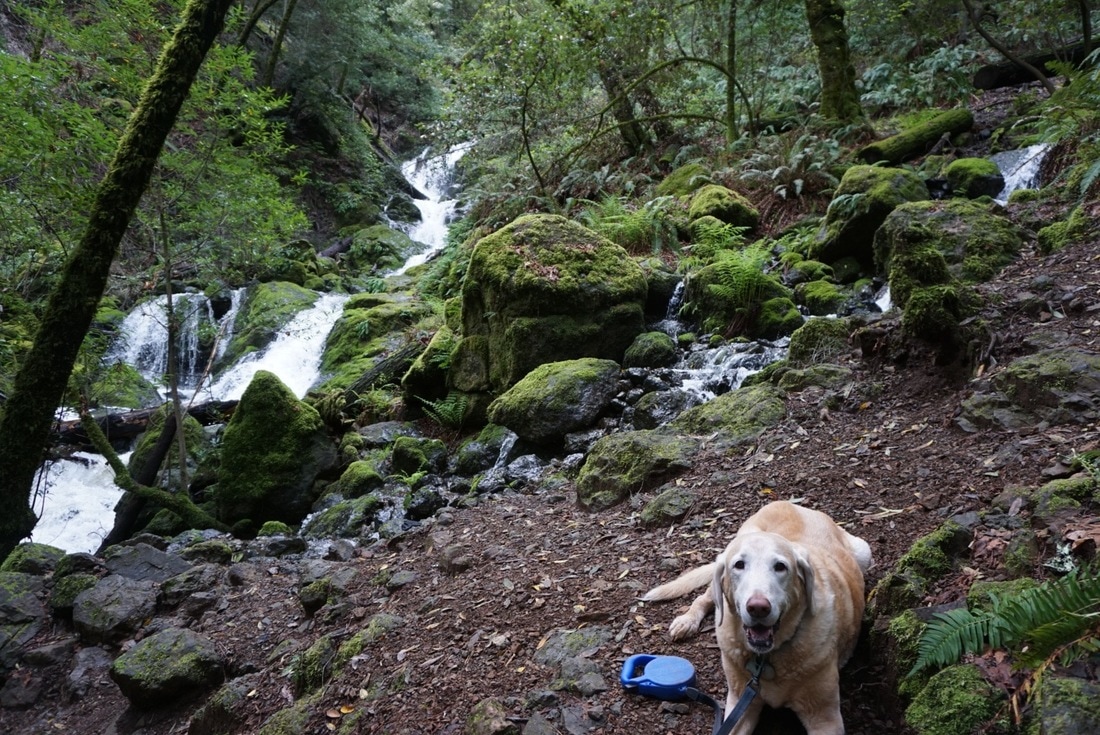
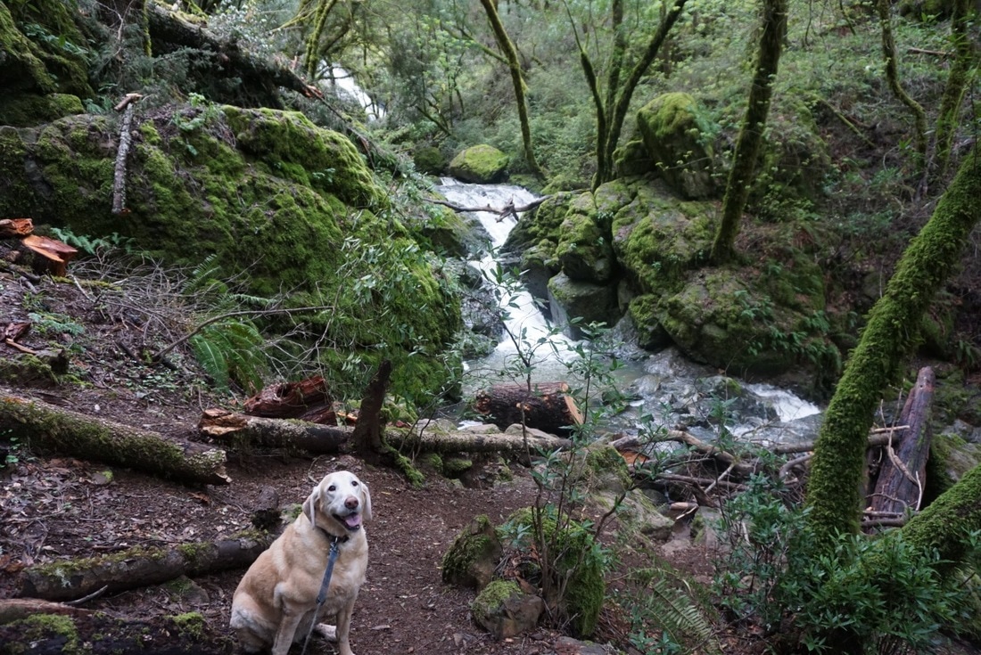
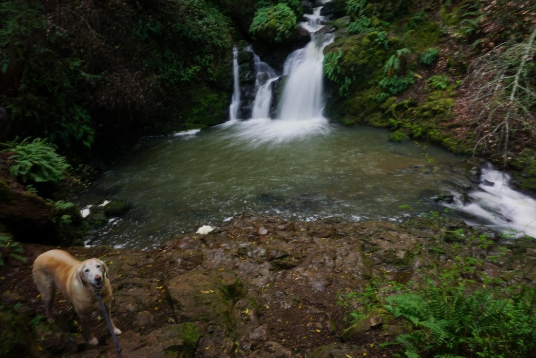
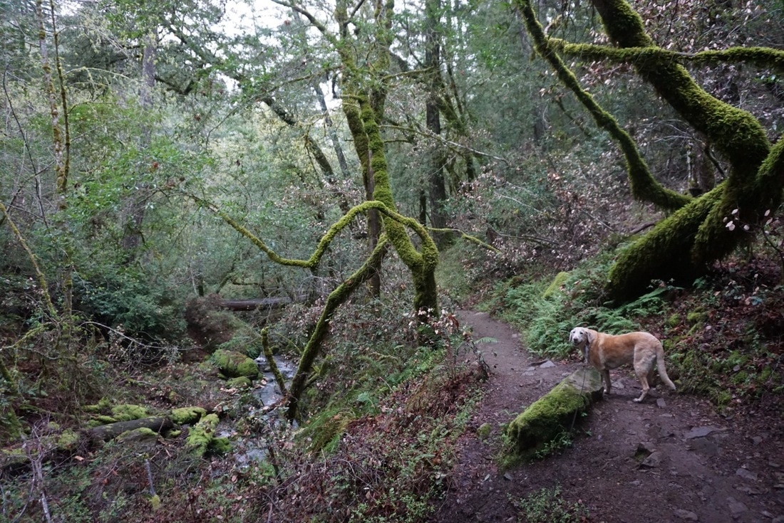
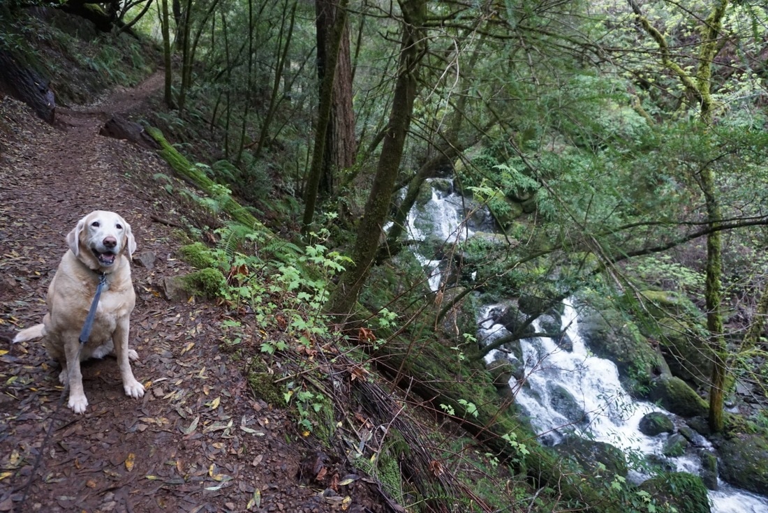
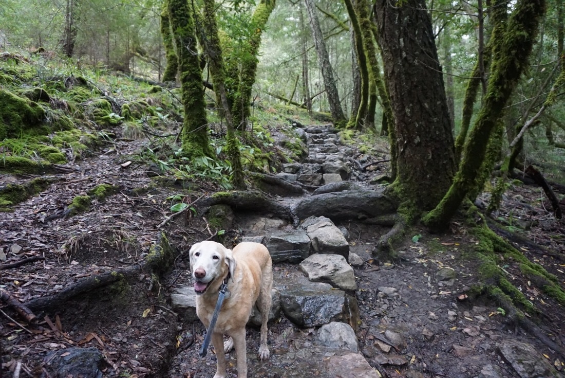
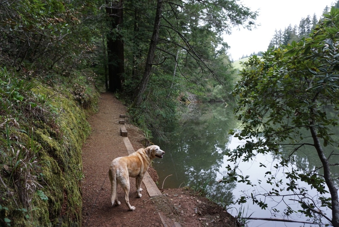
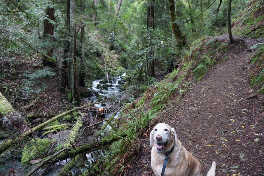
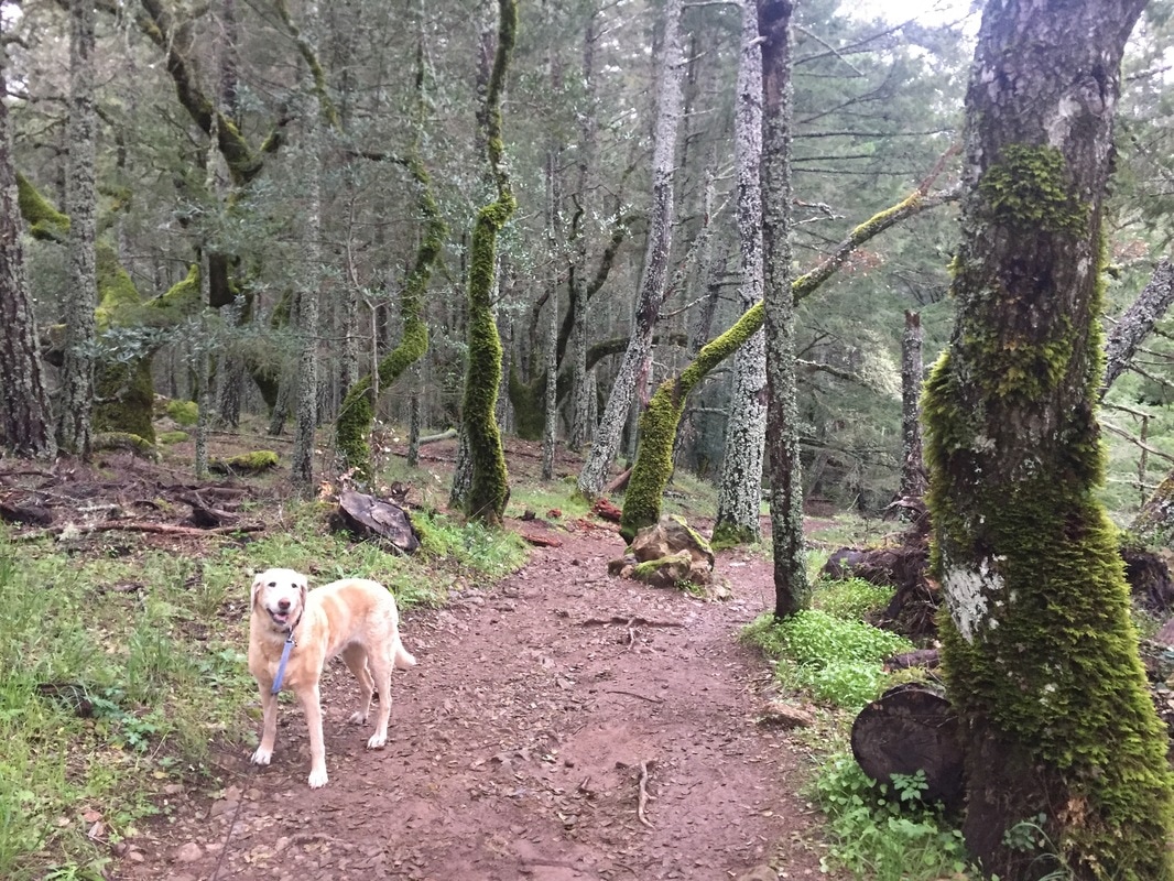
Hike Description: This was probably Bailey's favorite all-time hike, she was running ahead of me until the very end. The entire trip, out and back, is roughly a 9-mile hike from the top down and back. From the bottom up, it's a shorter hike, at about 3 miles. There is also an option to hike a 10-mile loop, described below.
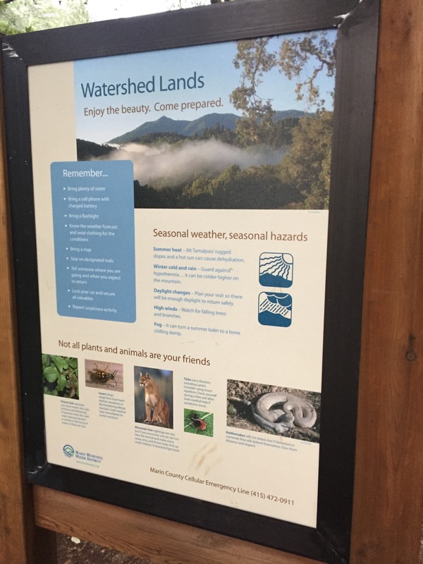
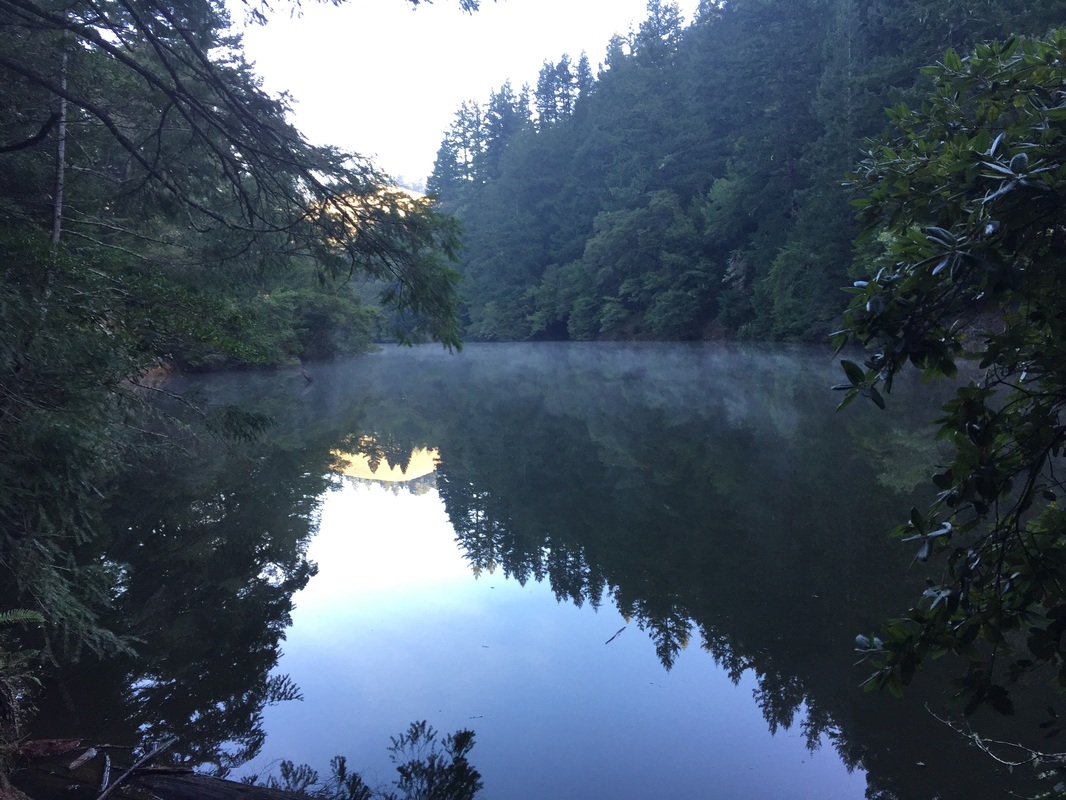
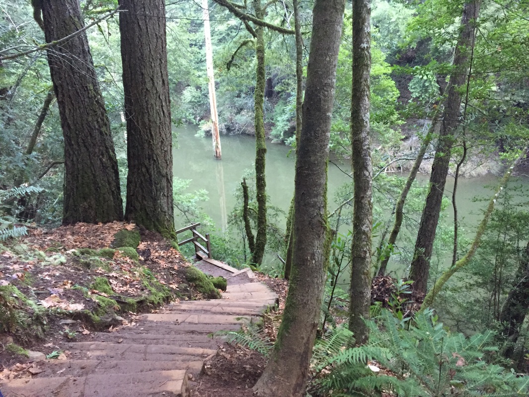
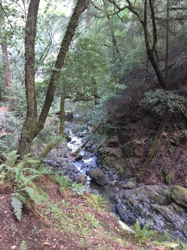
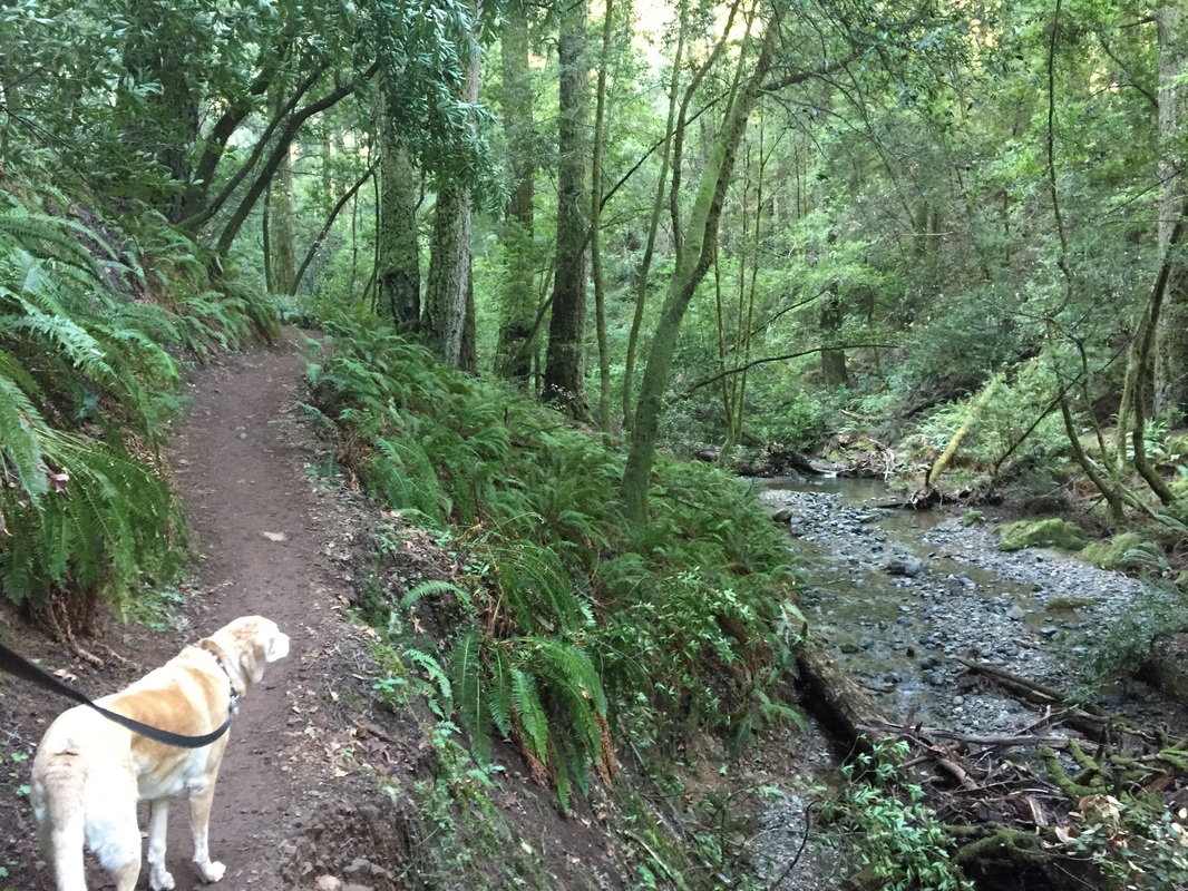
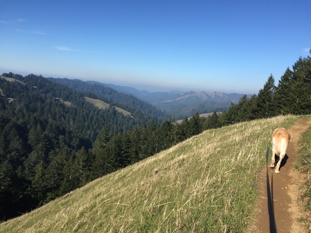
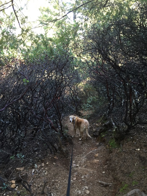
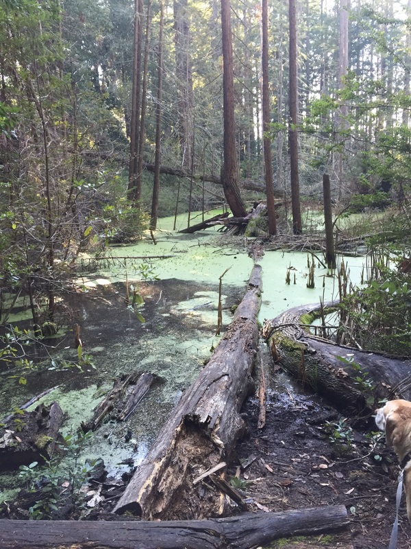
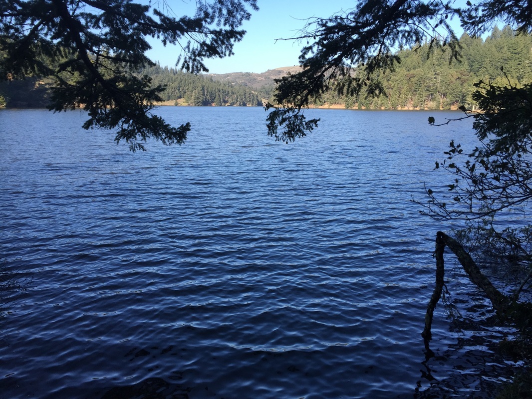
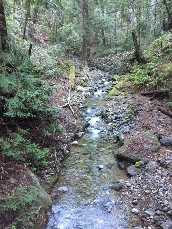
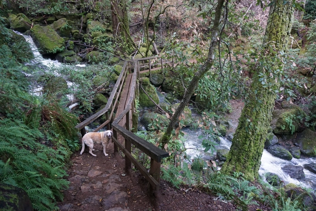
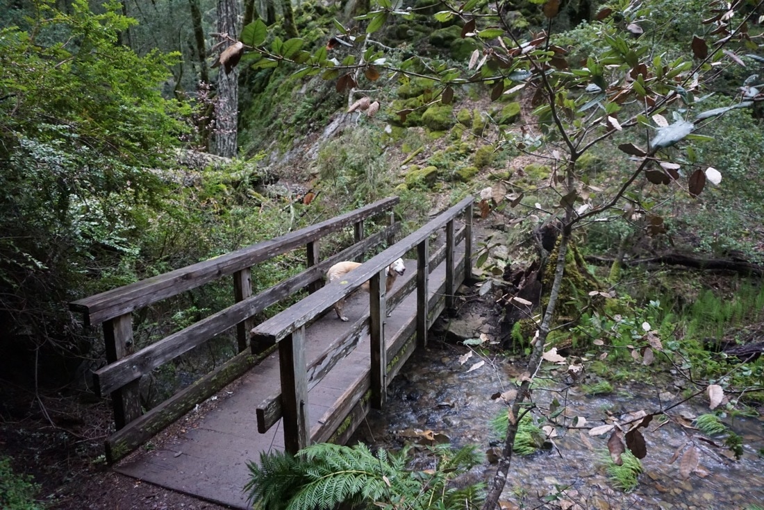
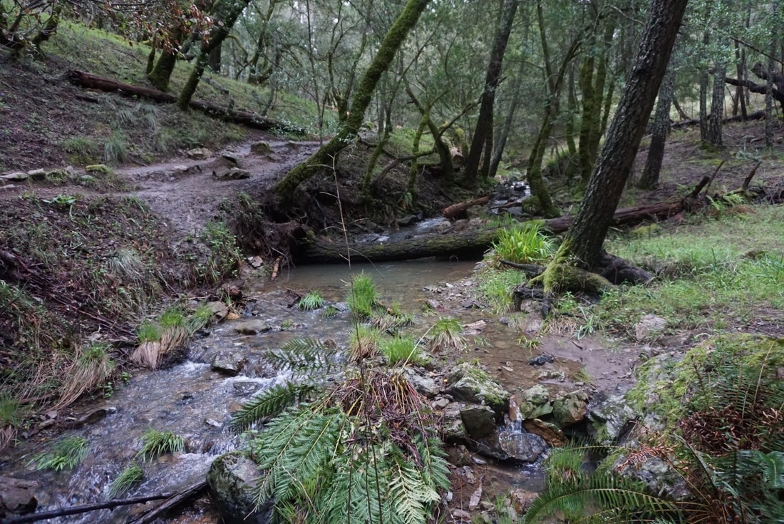
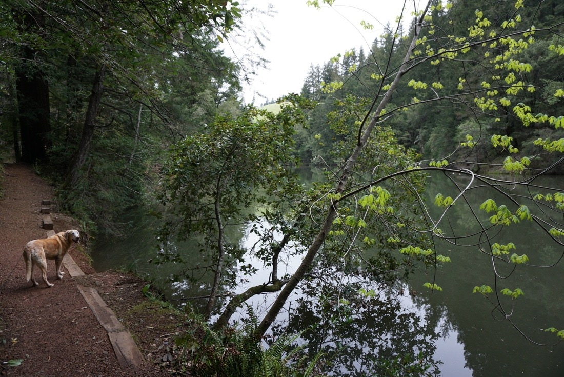
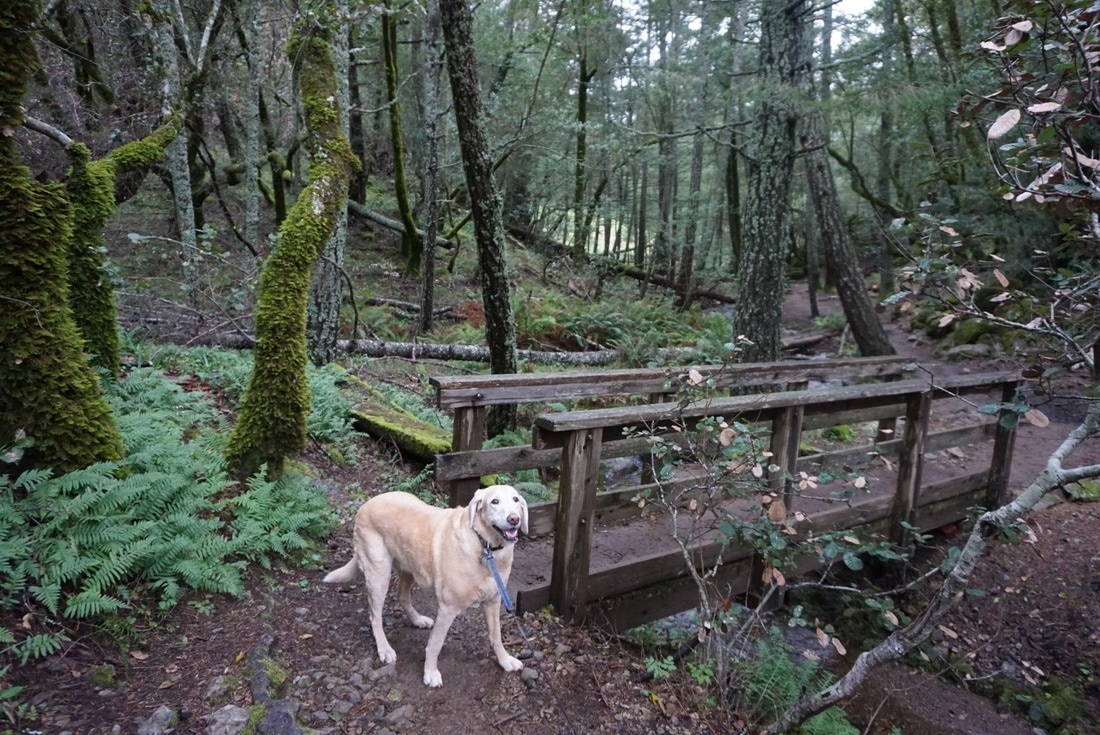
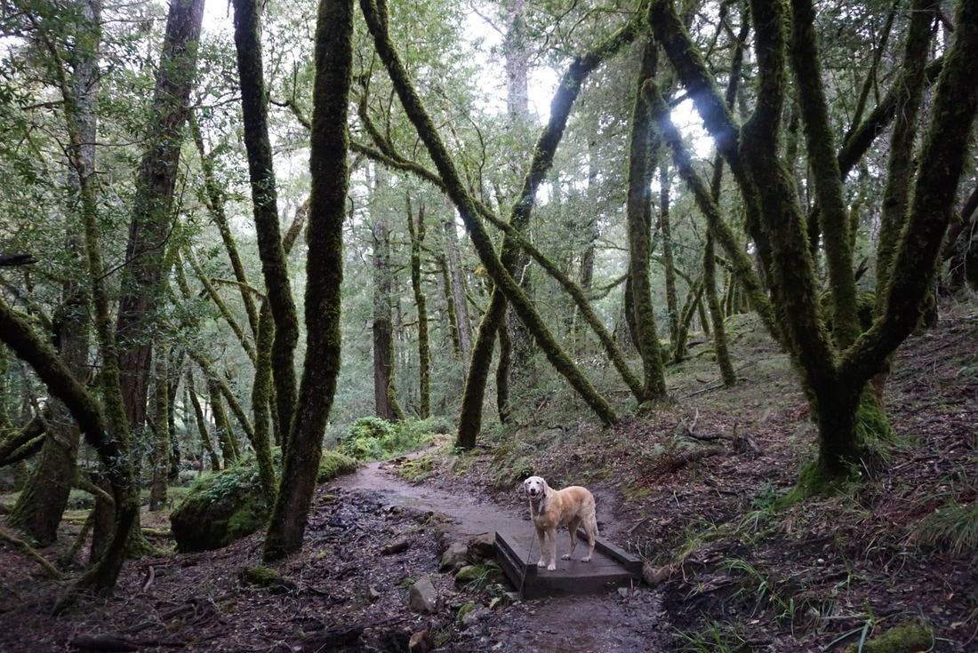
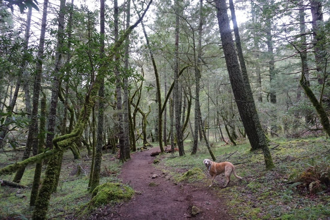
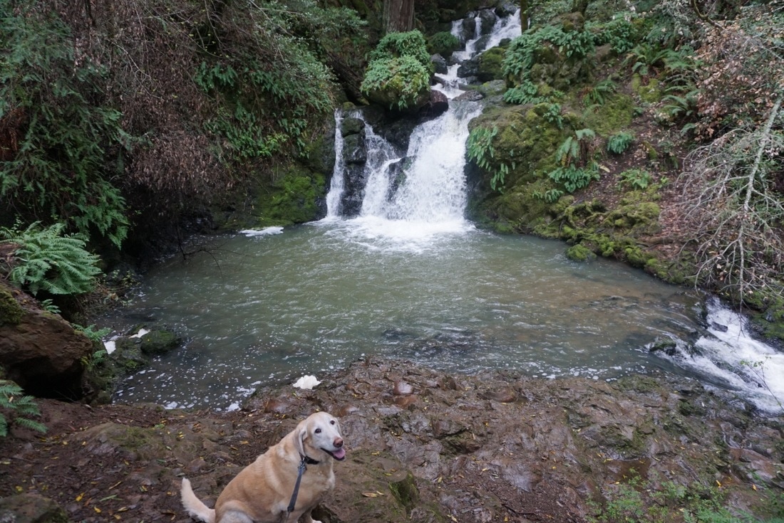
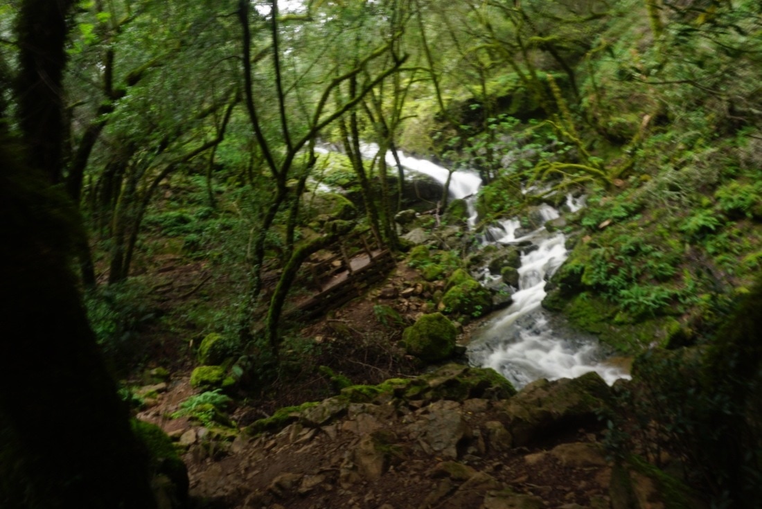
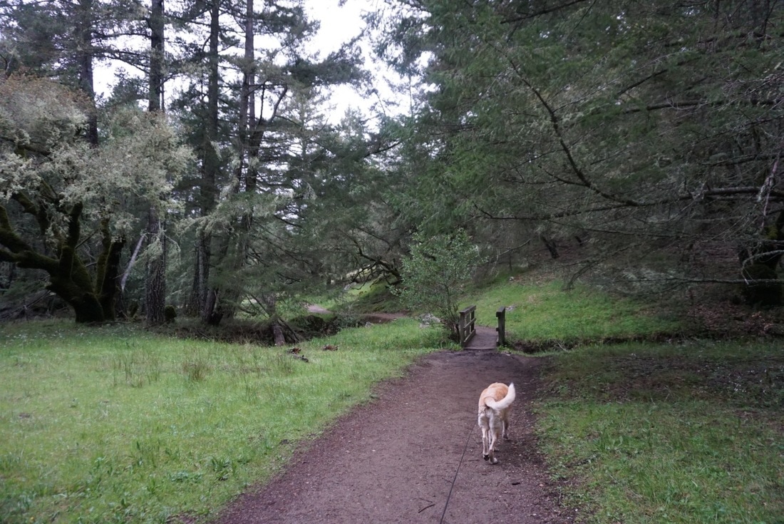
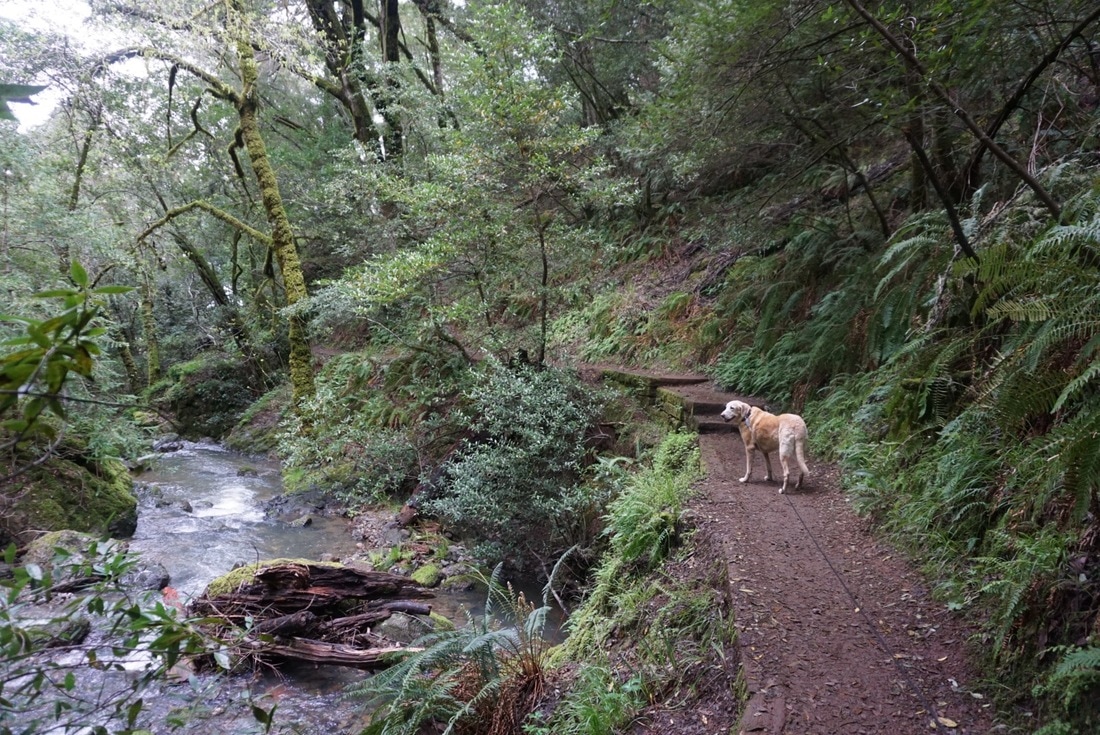
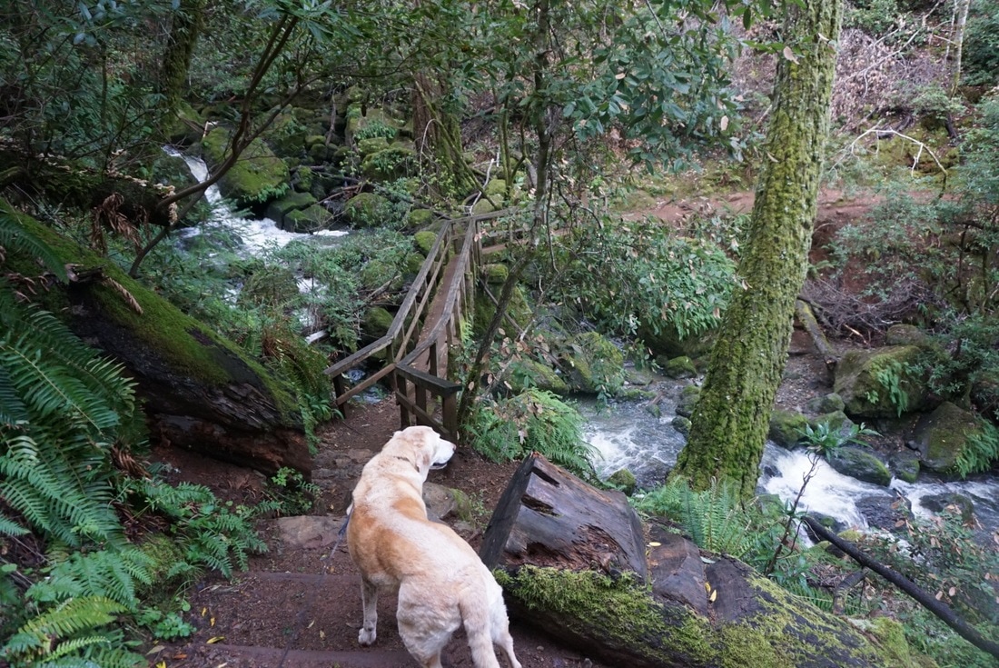
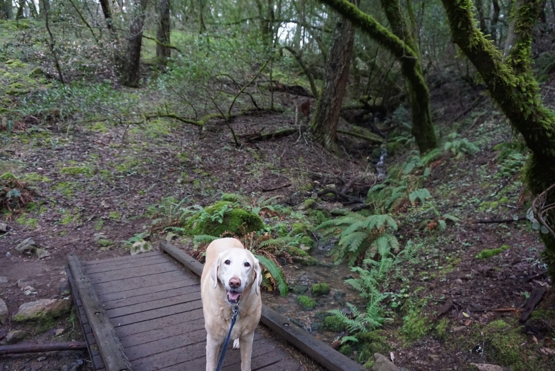
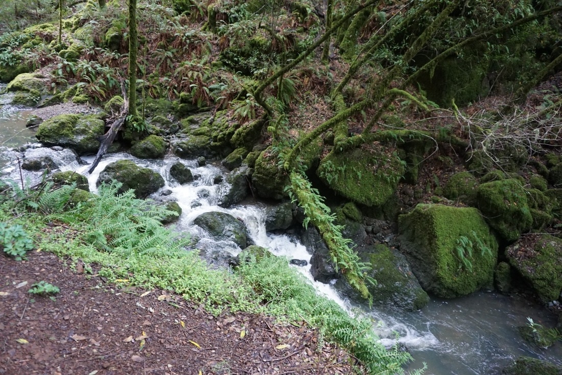
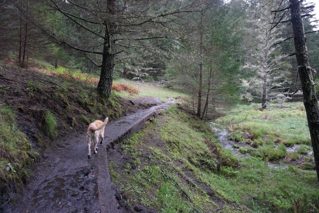
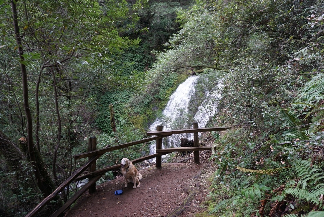
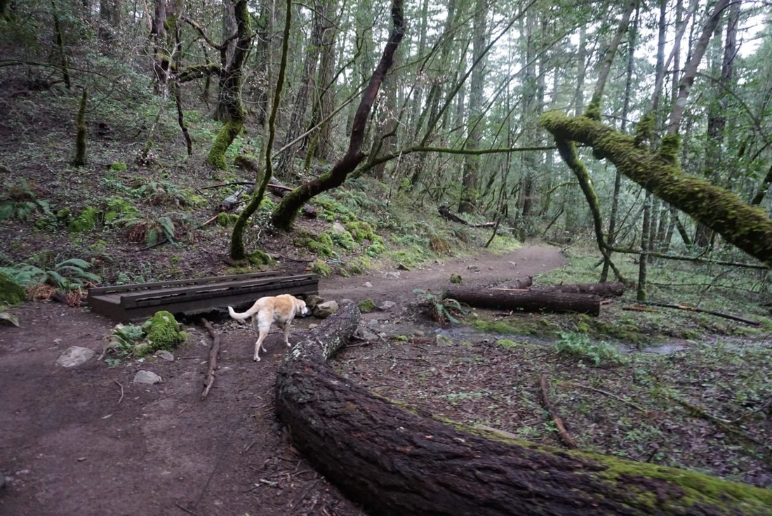
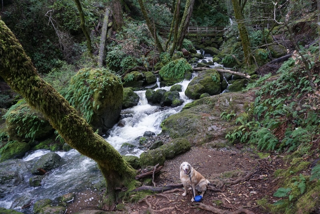
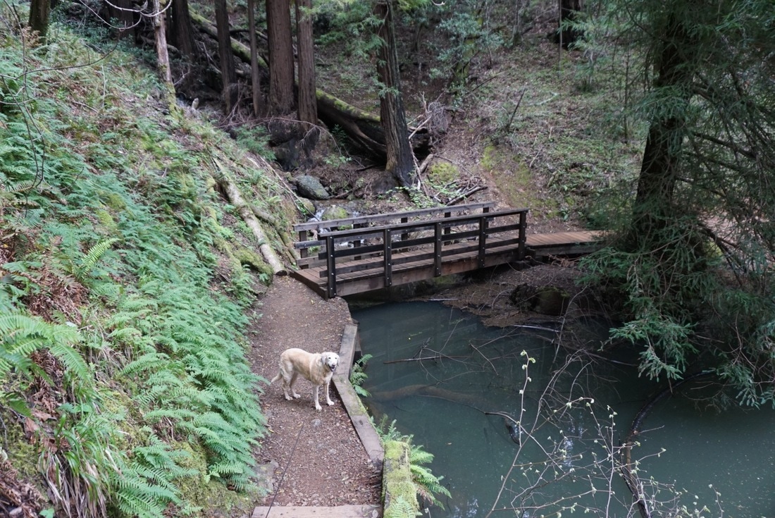
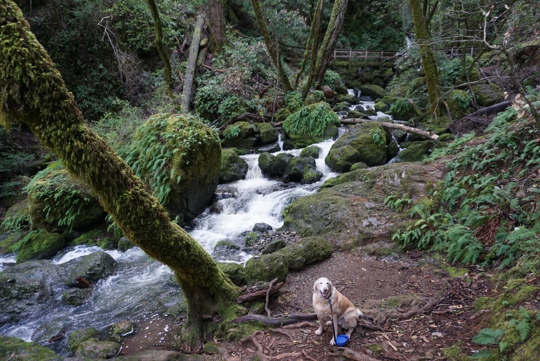
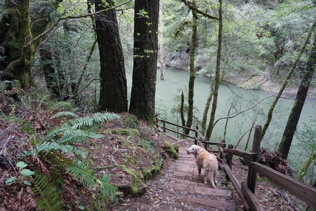
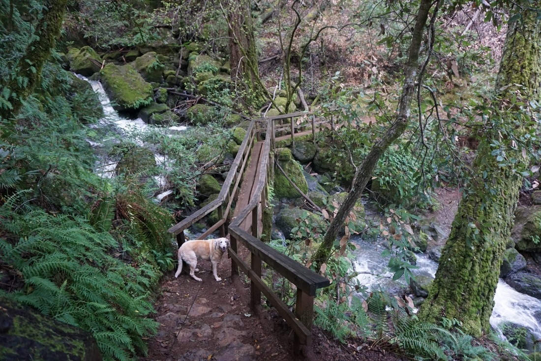
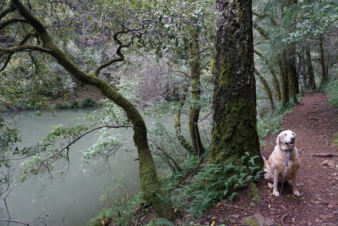
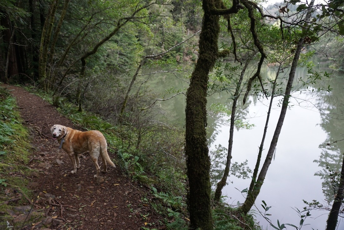
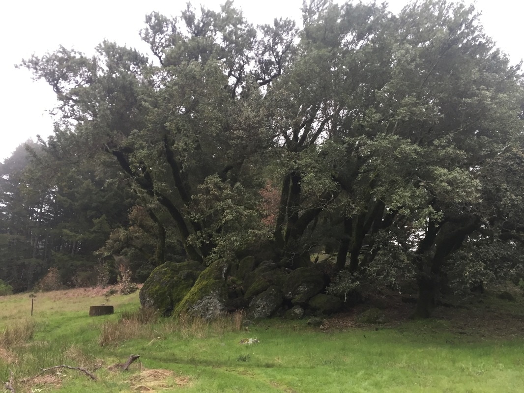
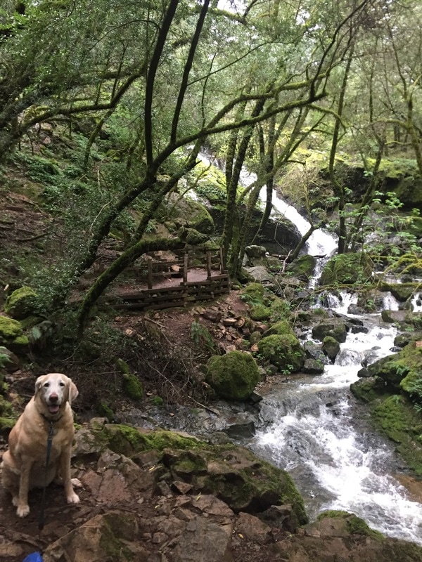
The hike to the falls was nice, with scenic views of the morning fog over lake Alpine, small falls flowing into pools, and well groomed trails. The falls were flowing pretty good, but it had been about a week since it rained, so the actual top of the falls wasn't as breathtaking as I expected. However, the scenery of the entire hike was amazing. The trails are well maintained, and I enjoyed the bridges and the way the stairs are cut into the hillside. Be careful though, the stairs can get quite slimy/ slippery. Most people only hike to the top of the falls, and although there are a lot of stairs, it's not too strenuous and is only a 3 mile round trip hike. However, we decided to take a loop of the entire park, and I really recommend it because I enjoyed it even more than the hike up to the falls. It's not too challenging because there are lot of switchbacks and rolling trails, but it's long. I enjoyed the constant change of scenery. You get great views of the mountains from the top of the hillside, scenic stretches along creeks, trails lined with beautiful swarms of red manzanitas, giant redwoods and an interesting swamp/marsh area. The end of the loop has beautiful views of the lake as it winds back around to where you started.
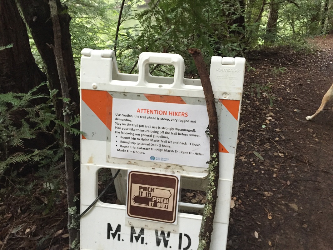
Hiking Instructions: We went from Cataract Falls to the High Marsh Trail, checked out the meadow, and took the Kent Trail to Helen Markt Trail and back to the Cataract Trail. This appeared to be the shortest loop on google maps, but I noticed we passed a few areas which did not have trailhead markers but looked like separate trails. I read that the loop was around 8 miles, but the route we took was about 10 miles, so maybe there's a shorter route. If you're going to do this loop, definitely bring a map along. You probably will not have any reception, so plan ahead.
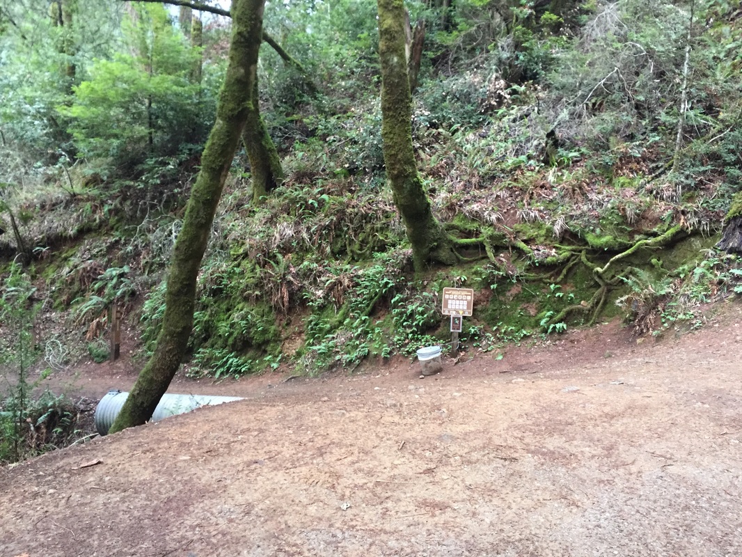
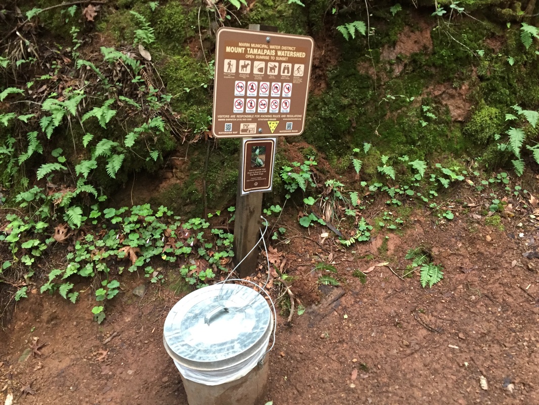
There's a trash can at the trailhead as well as a pit toilet. No running water is available, so bring plenty.