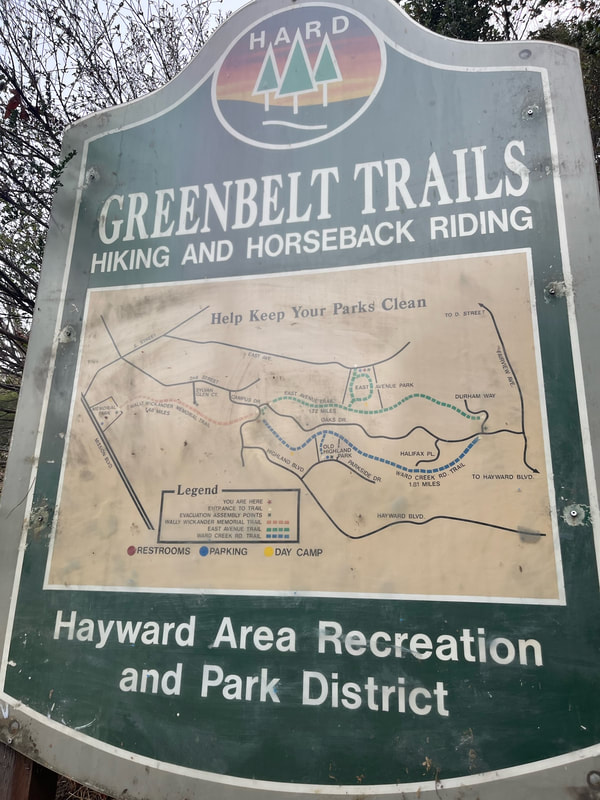
Address: Memorial Park (off of Mission Blvd.), OR 37°40'08.0"N 122°02'38.3"W (near the top of East Ave, Hayward) OR 2422 Oakes Drive, Hayward CA.
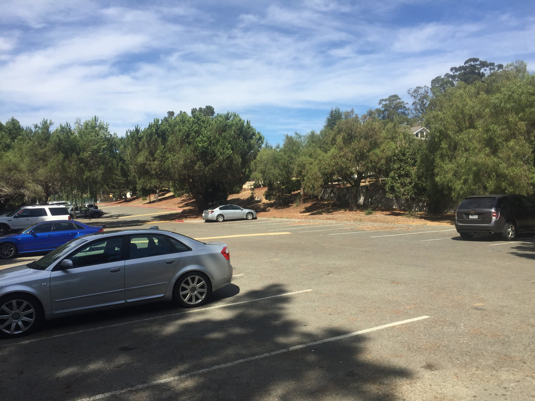
Parking: Free parking lots at the addresses above, in East Avenue Park OR along the road on Oakes Drive
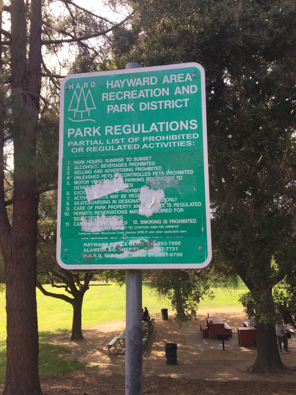
Hours: Sunrise to Sunset
Type: Hike (moderate)
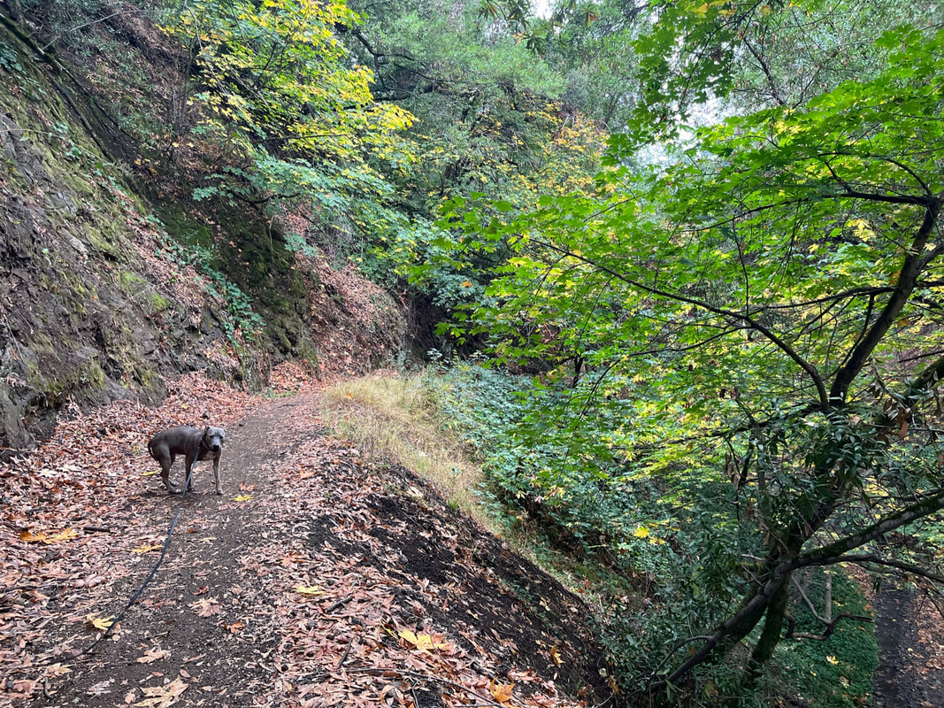
Regulations: Dogs allowed on-leash
Best time to visit: Anytime of year, except a very hot day
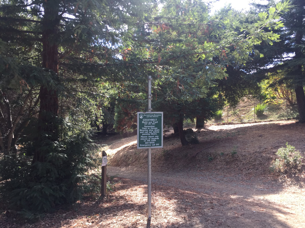
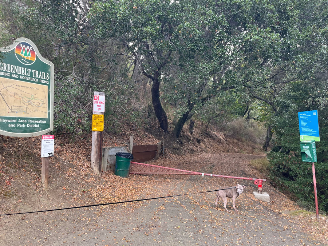
UPDATE (Nov '22): Unfortunately there's now a small homeless encampment near the trailhead, and we had to pass a couple groups of very aggressive dogs (luckily on leash). The first quarter mile of the trail had a lot of garbage surrounding it and even in the creek. I would actually recommend making this into a shorter hike, at a little less than 4 miles, by taking route # 2 mentioned below. Park your car on the shoulder of Oakes Drive (off of Campus Drive) and hike the loop East Avenue Trail and Ward Creek Rd. Trail. There's plenty of street parking and you'll still enjoy a beautiful hike without the garbage or having to worry about the aggressive dogs at the Wally Wickander Memorial trailhead.
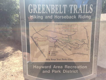
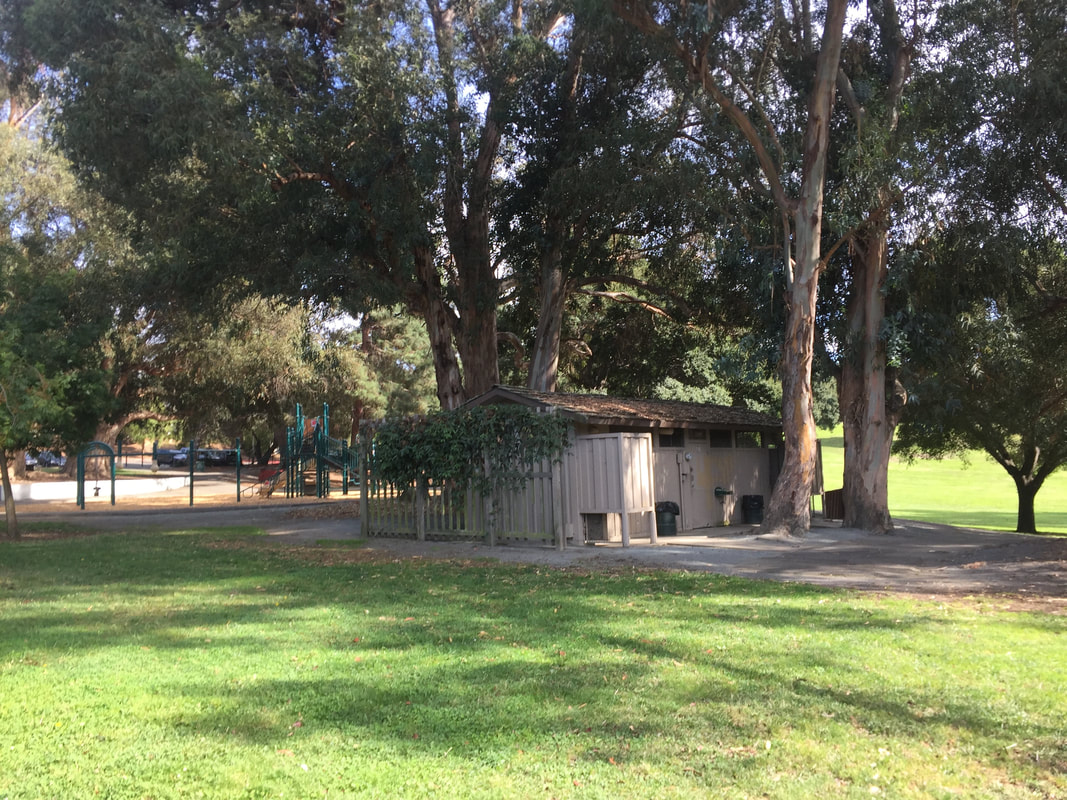
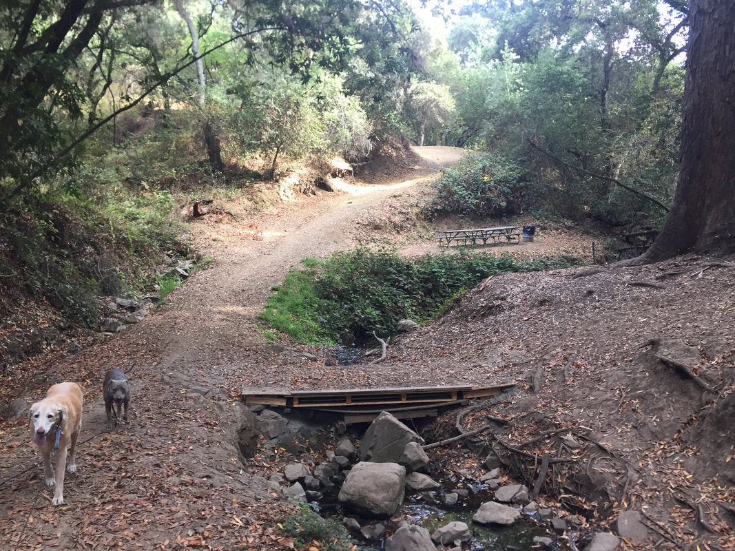
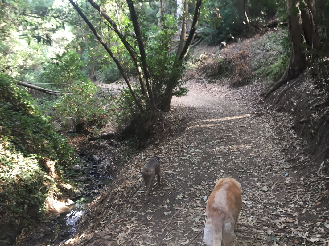
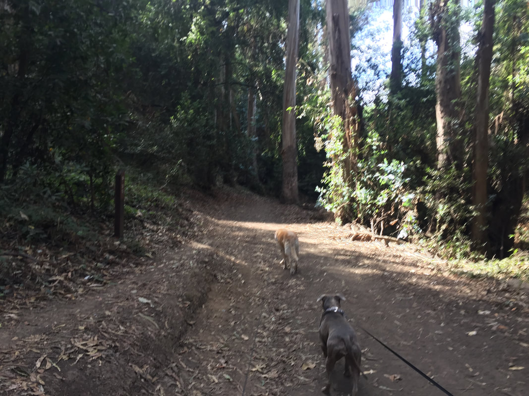
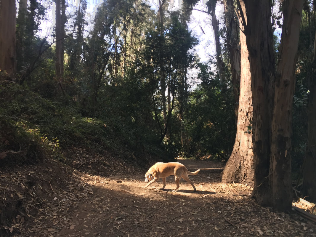
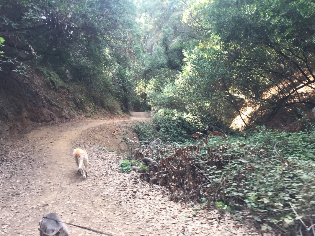
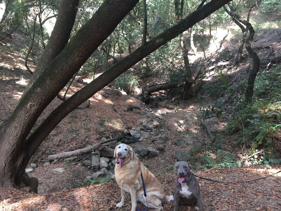
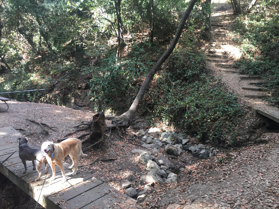
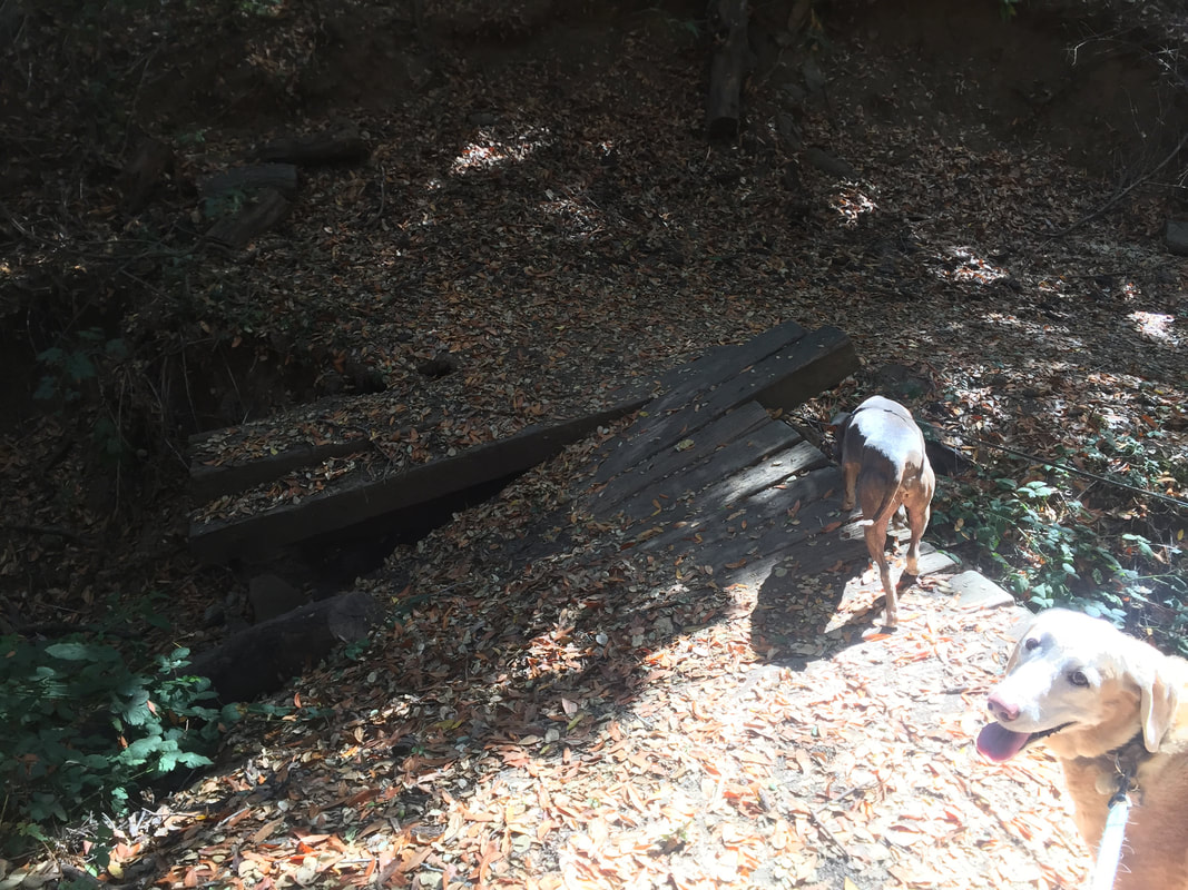
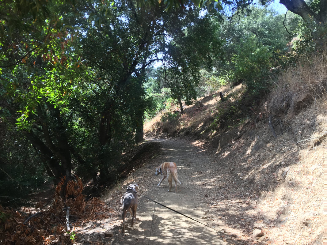
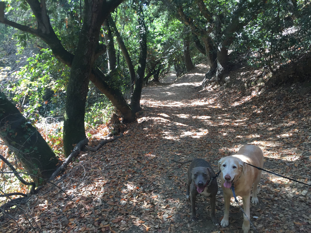
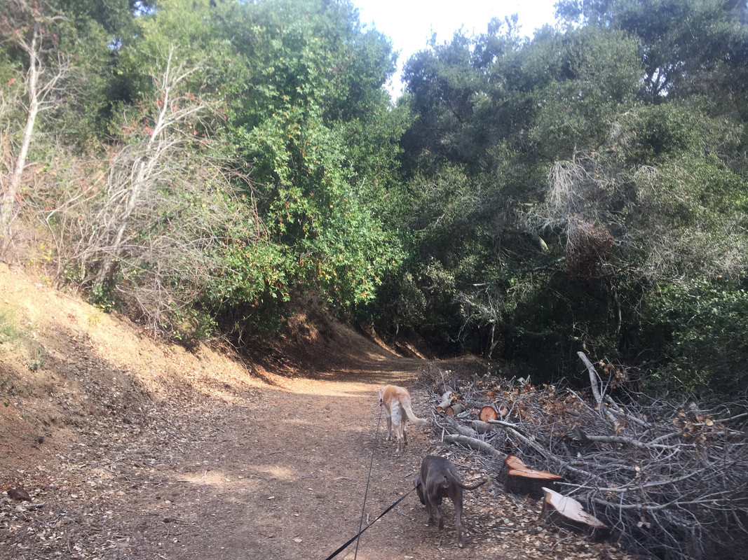
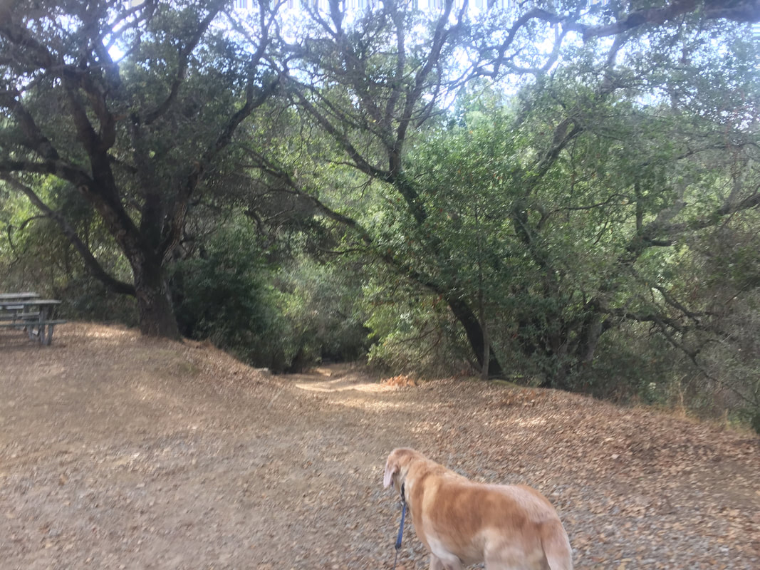
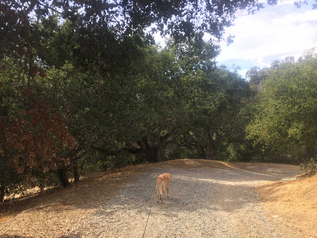
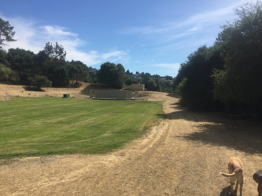
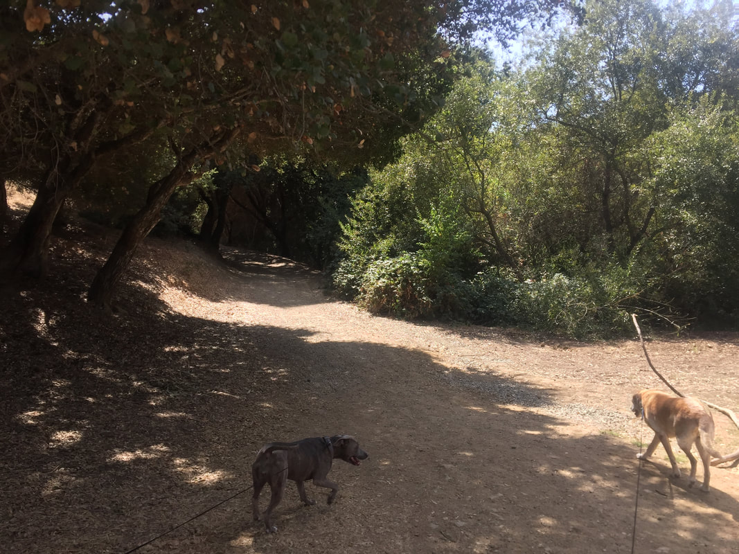
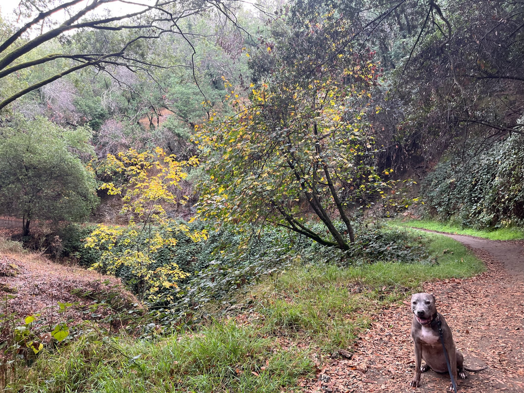
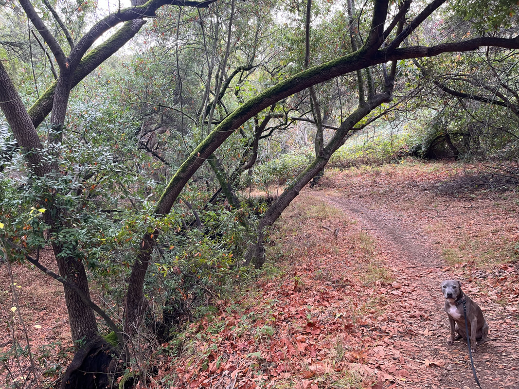
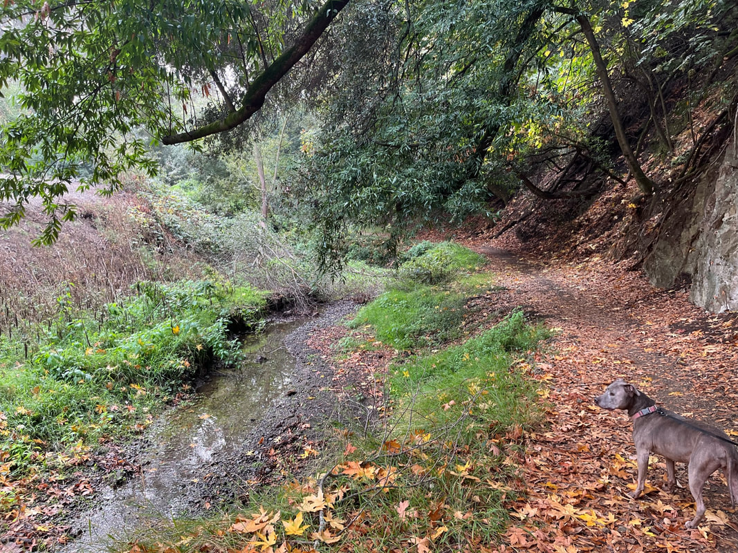
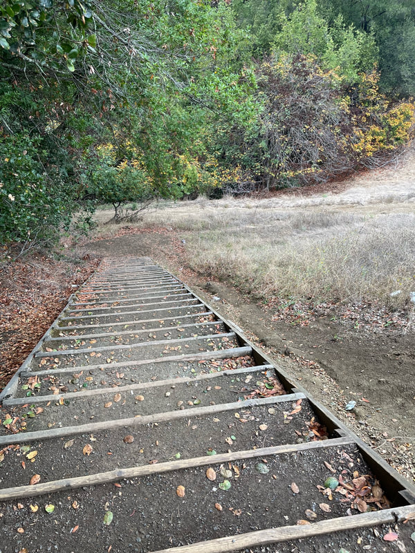
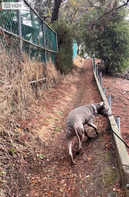
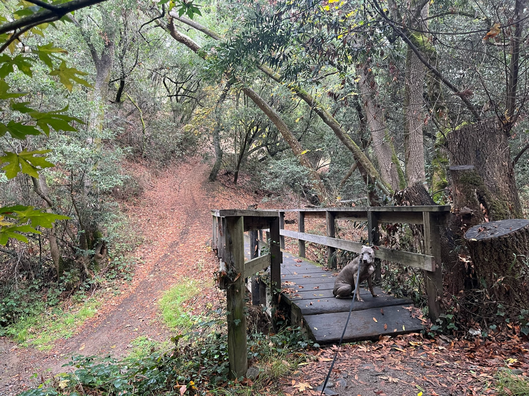
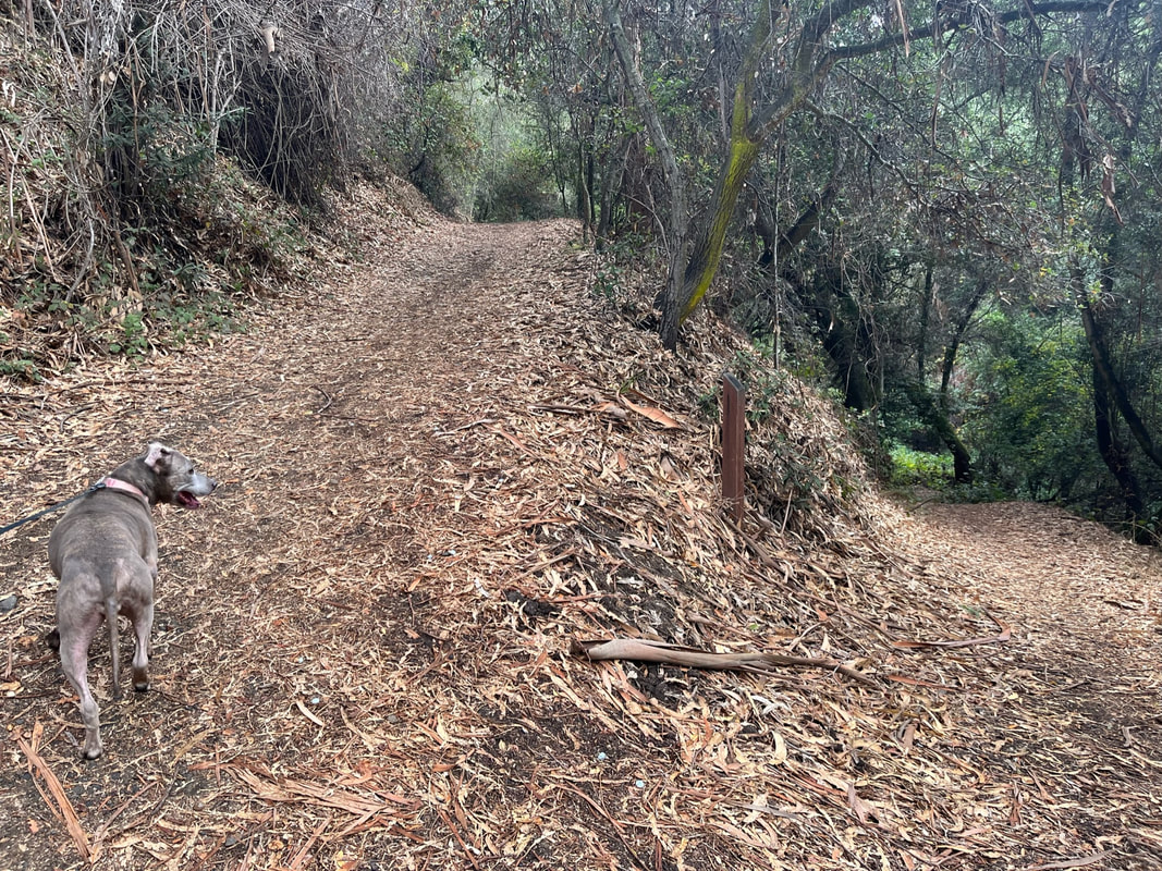
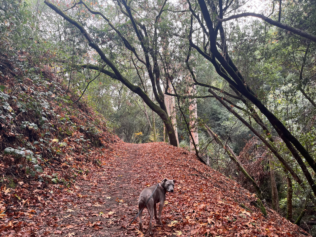
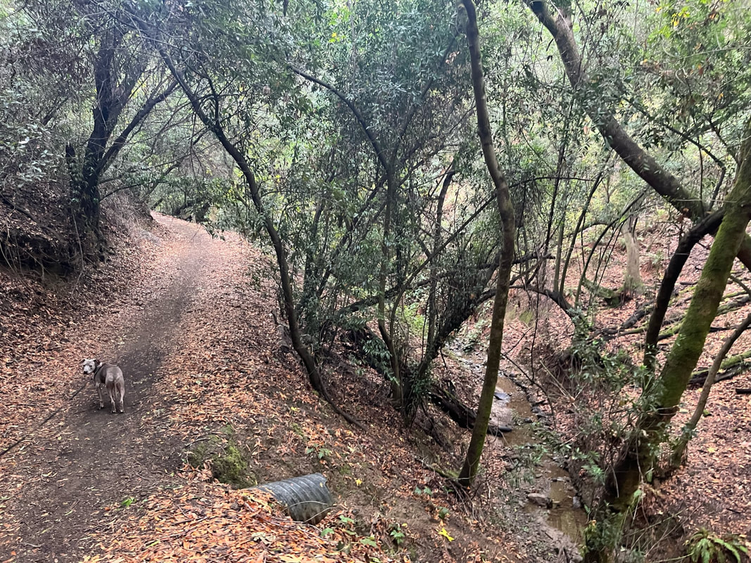
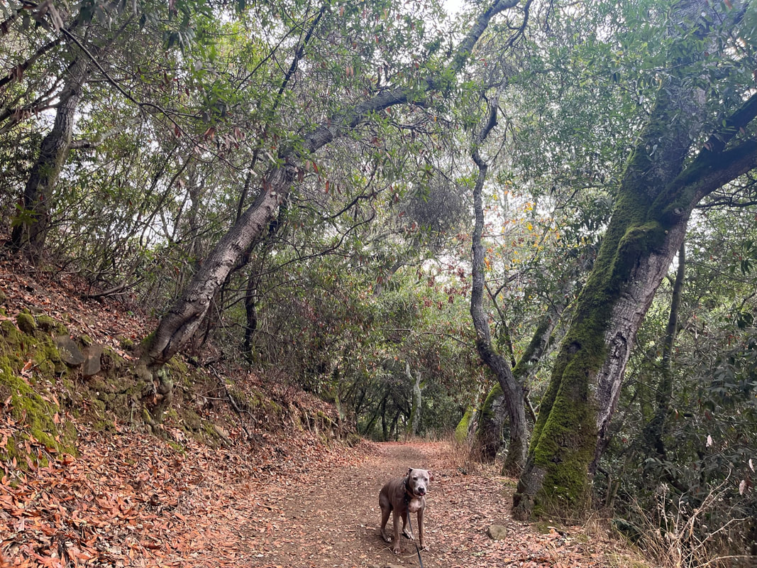
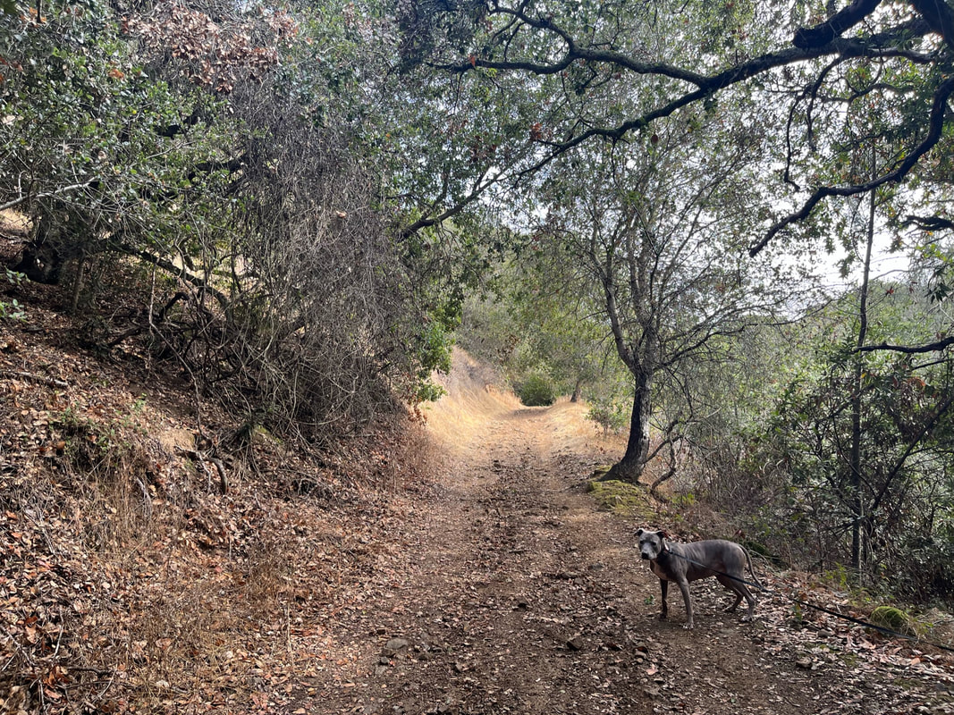
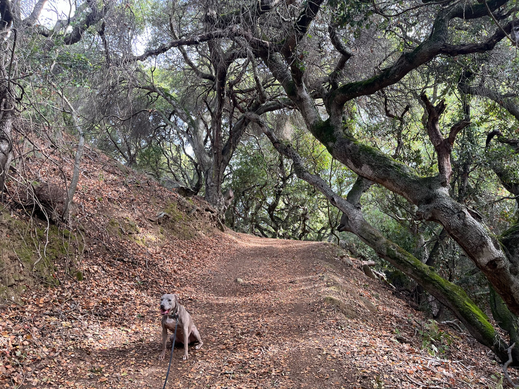
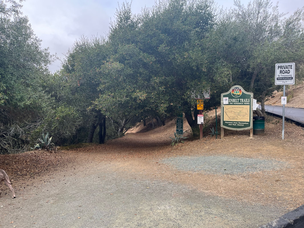
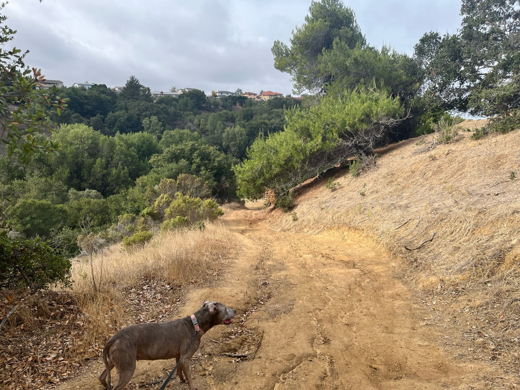
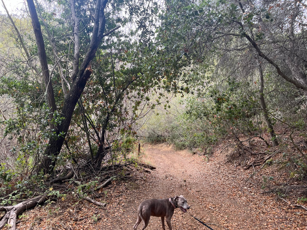
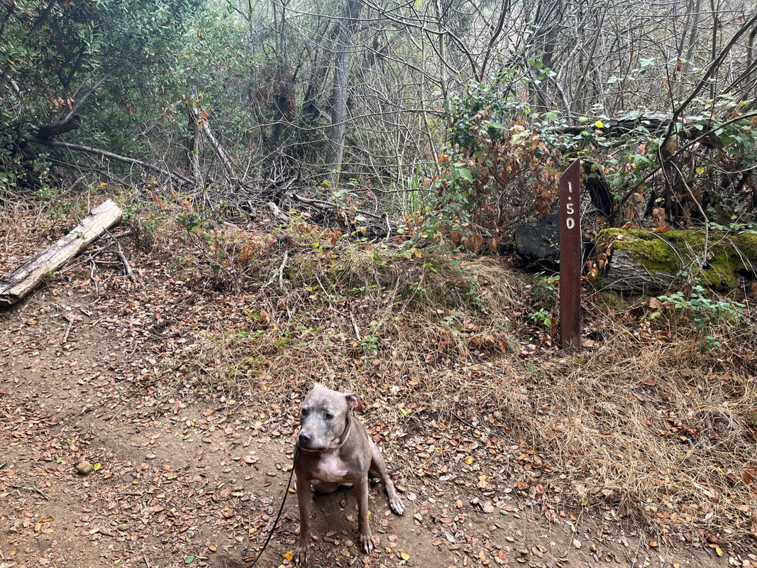
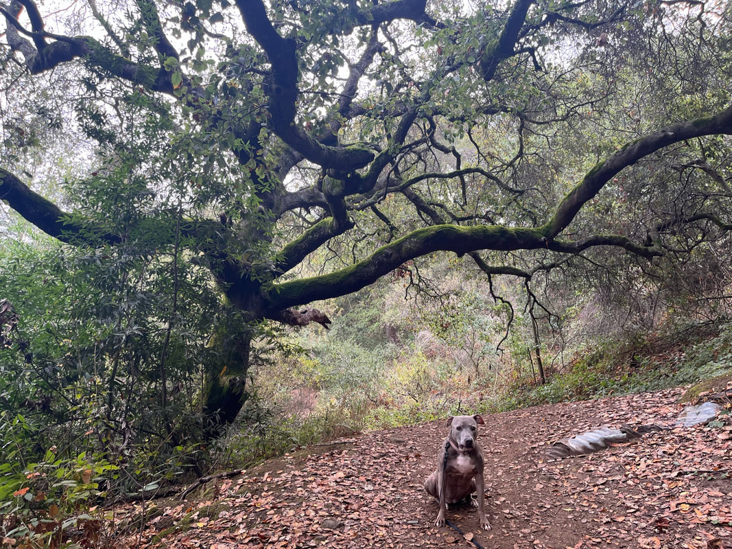
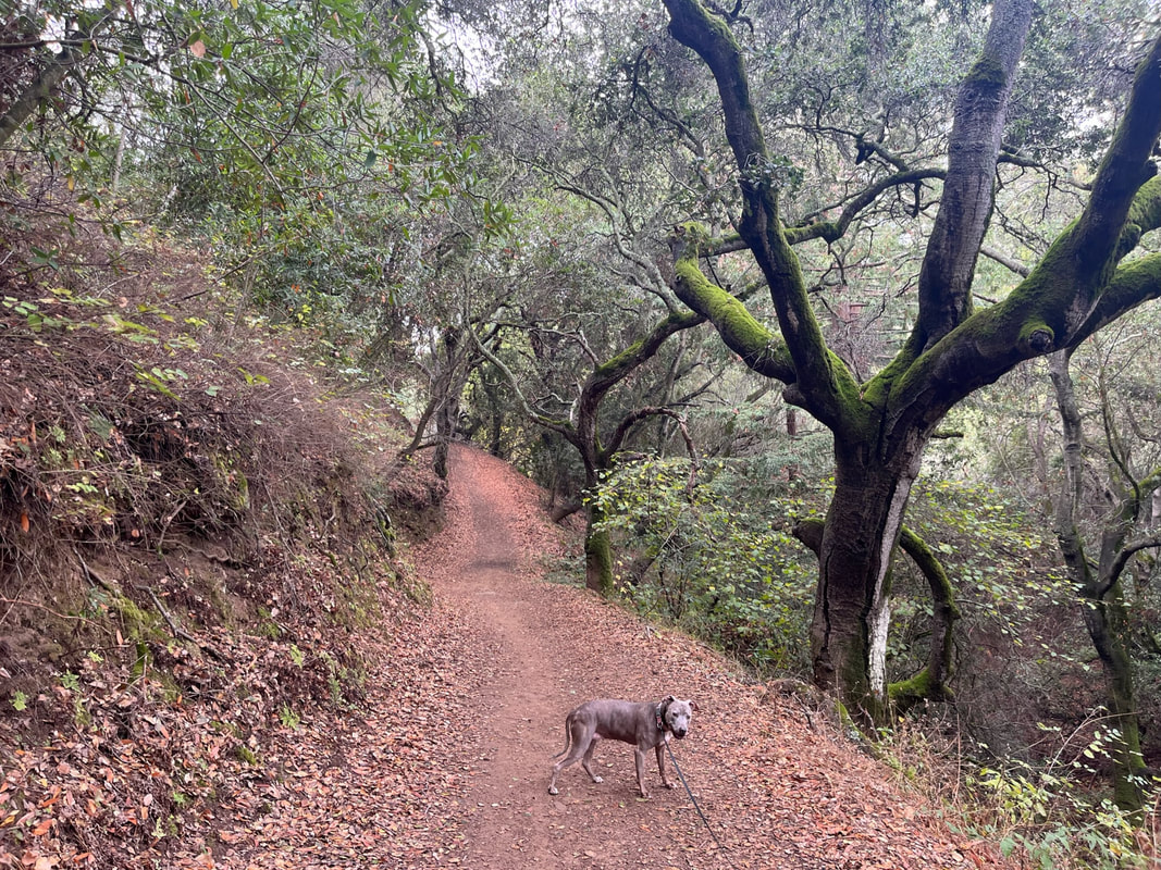
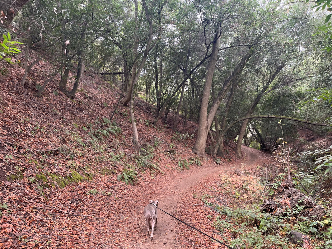
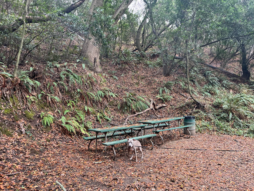
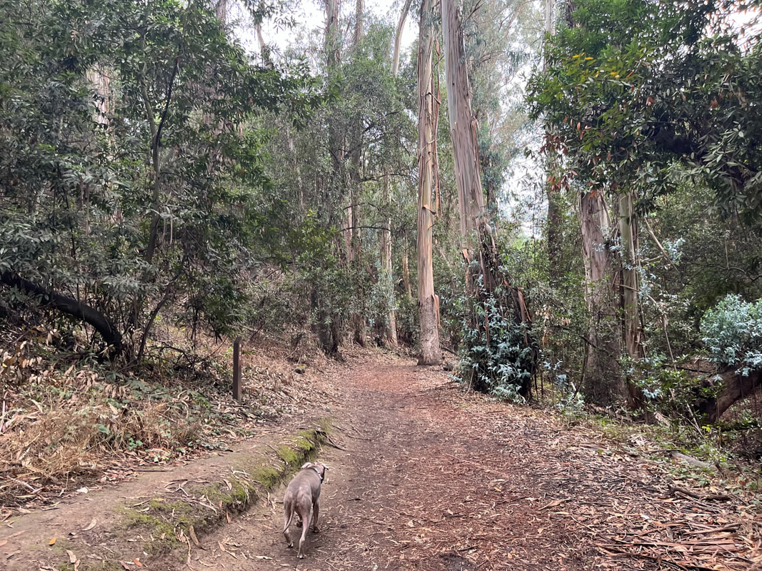
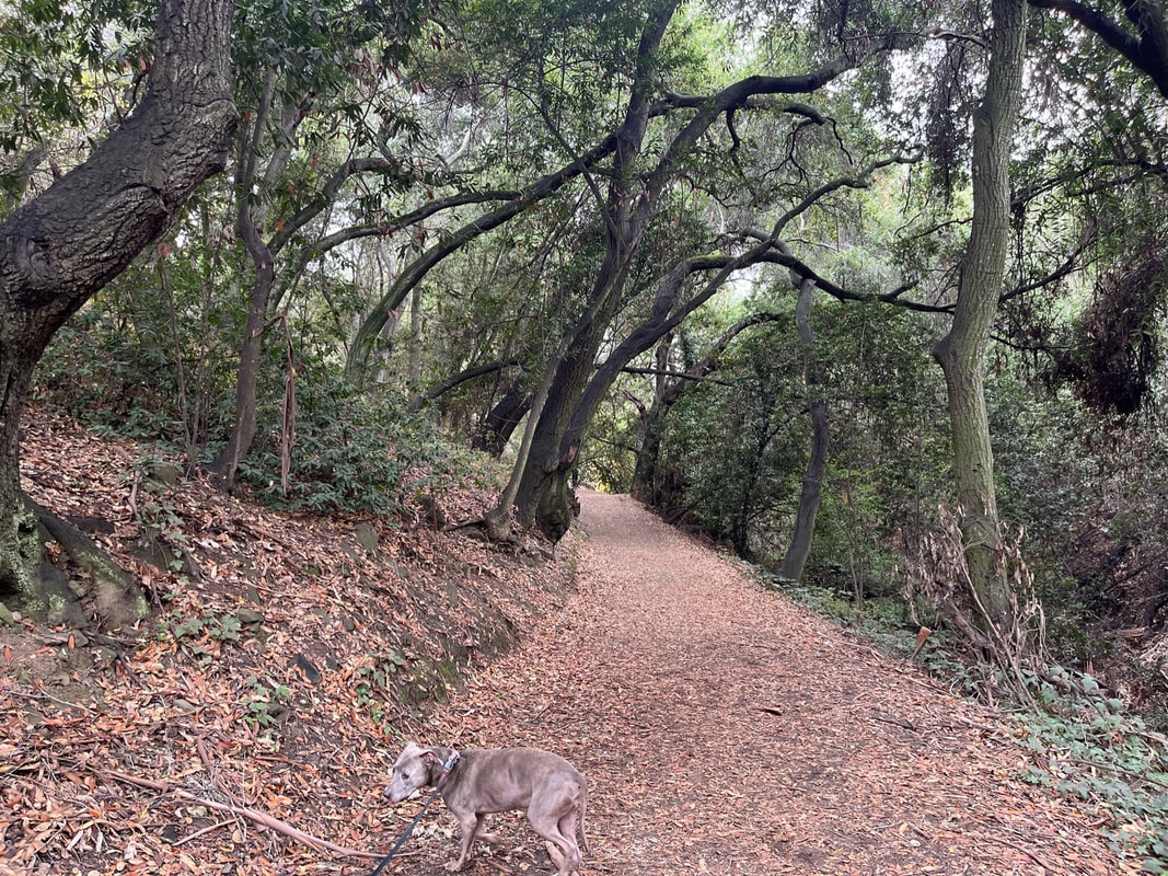
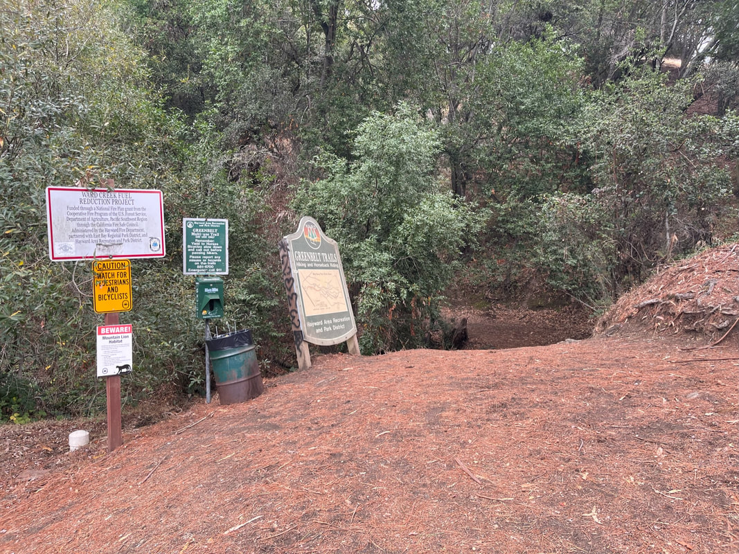
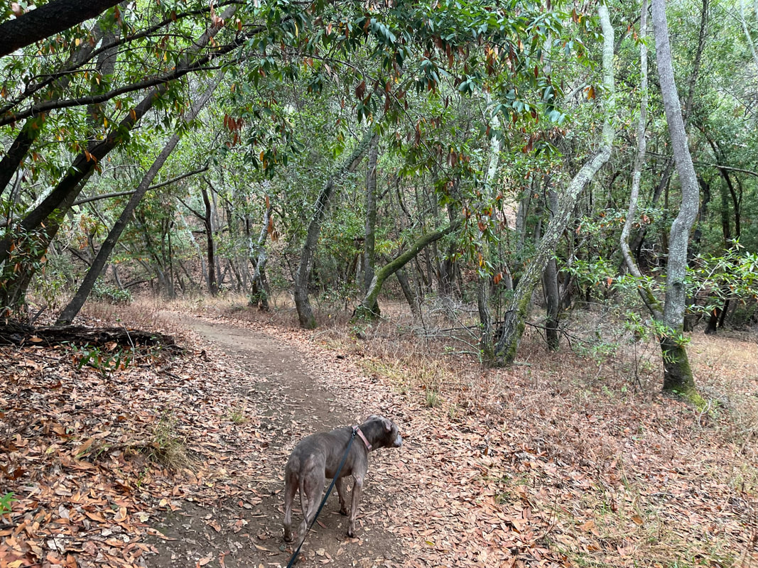
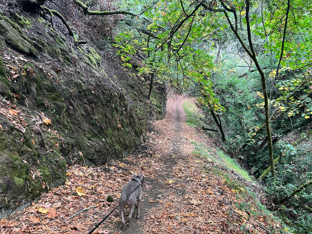
Description: This is a beautiful park with a couple miles of hiking trails, which snake down into the canyon and along the creek. Many of the trails are shaded by large oak and eucalyptus trees. During the summer, this area is used as a camp for kids, so there are plenty of benches, water fountains and trash cans along the trail. East Avenue Park has bbqs, a basketball court, a playground and even an amphitheater. Park in the parking lot and take the trail at the end of the lot up a short hill, or you can cross the grass for other entrance points. Once you hike down into the canyon there are several bridges crossing the creek. One is damaged, so be careful, but it’s still accessible. There are multiple interconnecting trails throughout the park, which will eventually take you all the down near the Hayward Plunge.
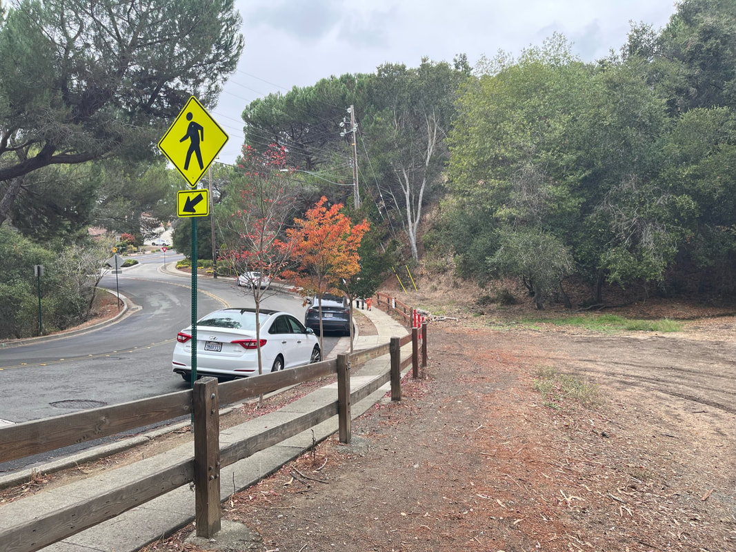
Route 1: We have hiked the entire 7 mile loop, starting at Memorial Park, hiking up Wally Wickander Memorial Trail, and after a short street crossing on Campus Drive, we continued our hike up the street on the left via Ward Creek Rd. Trail. After another street crossing and a short walk up Durham Way, we continued our hike down East Avenue Trail, then retraced our steps back across Campus Drive and down Wally Wickander Memorial Trail. This hike had about 1,100ft of elevation gain. Please be very careful crossing Campus Drive, as there is a crosswalk but no stop sign and cars drive through this stretch very fast.
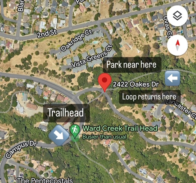
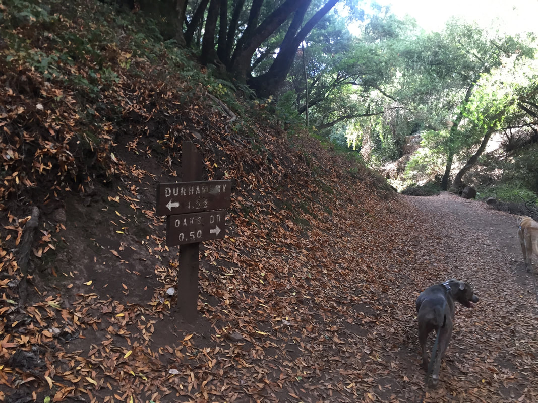
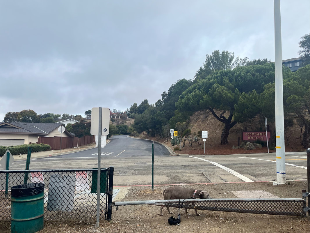
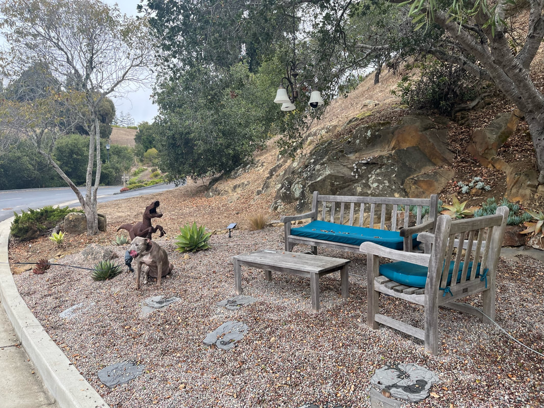
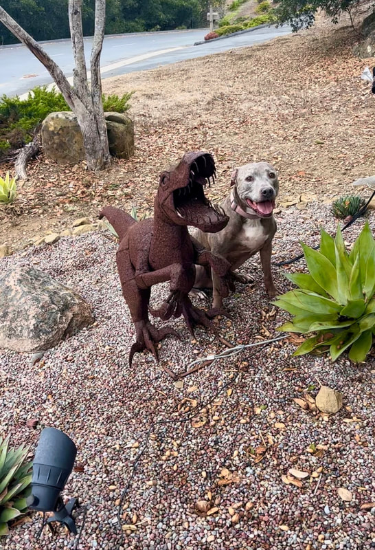
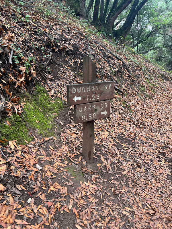
Route 2: As mentioned above, because of the homeless encampment, I'd recommend a shorter, 4.2 mile hike by parking on Oakes Dr. and taking Ward Creek Rd. Trail (off of Campus Drive). You'll still get to enjoy a hike almost entirely along the creek with beautiful wooden bridges. This takes you up to the top of Oakes Drive, where there is a stop sign, light traffic, and you will have to cross the street onto Durham Way. This is a private road and you'll have to walk a short stretch along the shoulder until you reach the other side of the loop to the left of the road. This is East Avenue Trail and it will take you back to where you parked. Durham Way is a private road, so please be respectful of residents and their beautiful road. They have built a cute little park on the road that even has a small dinosaur sculpture. This hike has approximately 650ft of elevation gain with several steep stretches on the way up.
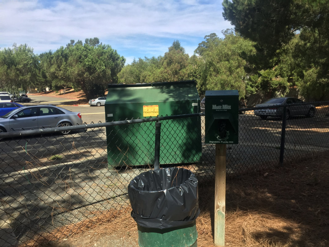
This park has restrooms and water fountains at the Memorial Park trailhead. It has trash cans throughout.
Parking: Free parking lots at the addresses above, in East Avenue Park OR along the road on Oakes Drive
Hours: Sunrise to Sunset
Type: Hike (moderate)
Regulations: Dogs allowed on-leash
Best time to visit: Anytime of year, except a very hot day
UPDATE (Nov '22): Unfortunately there's now a small homeless encampment near the trailhead, and we had to pass a couple groups of very aggressive dogs (luckily on leash). The first quarter mile of the trail had a lot of garbage surrounding it and even in the creek. I would actually recommend making this into a shorter hike, at a little less than 4 miles, by taking route # 2 mentioned below. Park your car on the shoulder of Oakes Drive (off of Campus Drive) and hike the loop East Avenue Trail and Ward Creek Rd. Trail. There's plenty of street parking and you'll still enjoy a beautiful hike without the garbage or having to worry about the aggressive dogs at the Wally Wickander Memorial trailhead.
Description: This is a beautiful park with a couple miles of hiking trails, which snake down into the canyon and along the creek. Many of the trails are shaded by large oak and eucalyptus trees. During the summer, this area is used as a camp for kids, so there are plenty of benches, water fountains and trash cans along the trail. East Avenue Park has bbqs, a basketball court, a playground and even an amphitheater. Park in the parking lot and take the trail at the end of the lot up a short hill, or you can cross the grass for other entrance points. Once you hike down into the canyon there are several bridges crossing the creek. One is damaged, so be careful, but it’s still accessible. There are multiple interconnecting trails throughout the park, which will eventually take you all the down near the Hayward Plunge.
Route 1: We have hiked the entire 7 mile loop, starting at Memorial Park, hiking up Wally Wickander Memorial Trail, and after a short street crossing on Campus Drive, we continued our hike up the street on the left via Ward Creek Rd. Trail. After another street crossing and a short walk up Durham Way, we continued our hike down East Avenue Trail, then retraced our steps back across Campus Drive and down Wally Wickander Memorial Trail. This hike had about 1,100ft of elevation gain. Please be very careful crossing Campus Drive, as there is a crosswalk but no stop sign and cars drive through this stretch very fast.
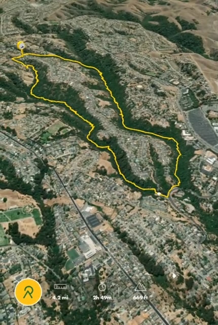
Route 2: As mentioned above, because of the homeless encampment, I'd recommend a shorter, 4.2 mile hike by parking on Oakes Dr. and taking Ward Creek Rd. Trail (off of Campus Drive). You'll still get to enjoy a hike almost entirely along the creek with beautiful wooden bridges. This takes you up to the top of Oakes Drive, where there is a stop sign, light traffic, and you will have to cross the street onto Durham Way. This is a private road and you'll have to walk a short stretch along the shoulder until you reach the other side of the loop to the left of the road. This is East Avenue Trail and it will take you back to where you parked. Durham Way is a private road, so please be respectful of residents and their beautiful road. They have built a cute little park on the road that even has a small dinosaur sculpture. This hike has approximately 650ft of elevation gain with several steep stretches on the way up.
This park has restrooms and water fountains at the Memorial Park trailhead. It has trash cans throughout.
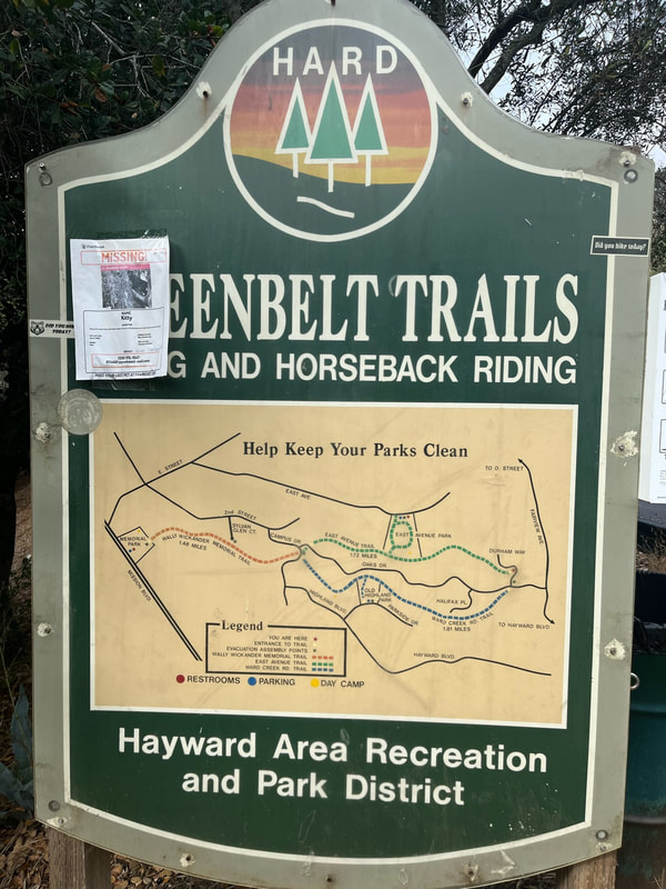
Trail map:
Hike from East Ave Park:


Hike from Memorial Park
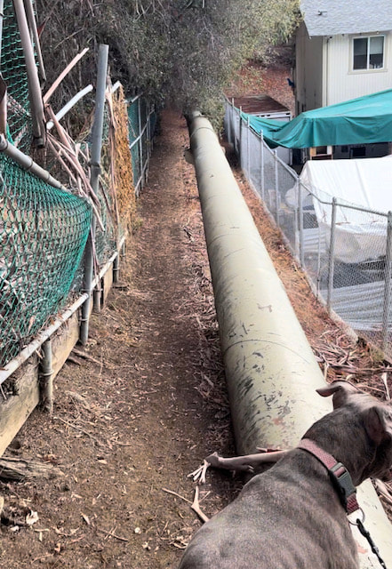
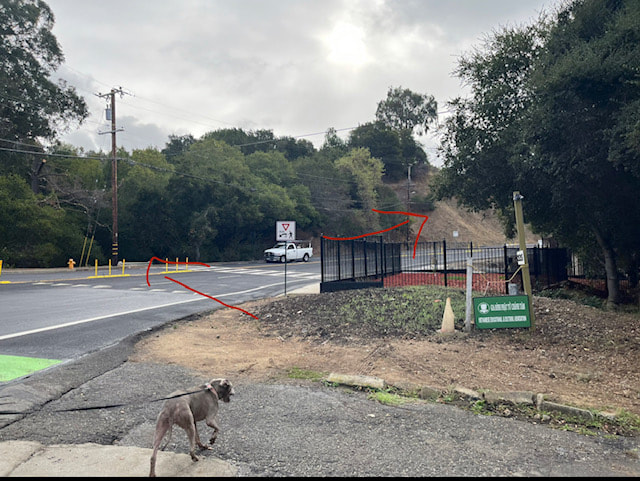
From the parking lot, walk up on the paved trail though the park until you reach a fire gate showing the entrance to the park. This trail is approximately 1.5 miles. You will hike mostly shaded trails along the creek, some stairs and a flat stretch, then a few steep stretches. You will have to hike along the fence line of a large compound, next to a large waterpipe and along a fence line of some house. You will come out on Campus Dr. Walk up the street a few yards until you see a crosswalk. Be very careful crossing. Continue up the street a bit until you see another trailhead entrance.
Hike from the shoulder of Campus Dr:


Hike from Durham Way - trail ends at the top of Oakes Dr and back to Memorial Park:
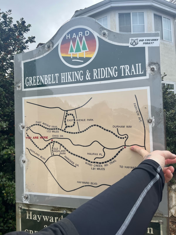


Parking/entrance and loop info for Oakes Dr.:
Trail stats:
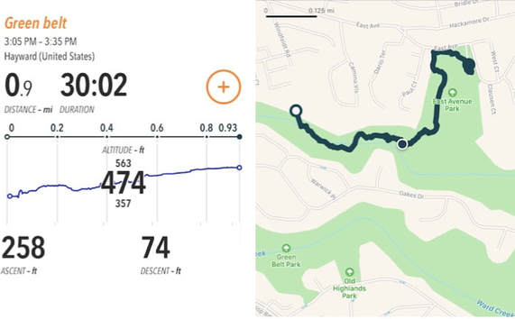
East Ave Park>East Avenue Trail
Length: Approx. 2.5 miles
Elevation Gain: Approx. 474 ft
Park at the East Avenue Park parking lot. We took East Avenue Trail down into the canyon, and unfortunately the connecting trails were not well labeled. I failed to track the hike down, which was had slightly less incline, but we took the steep, short cut trails back for a good workout.
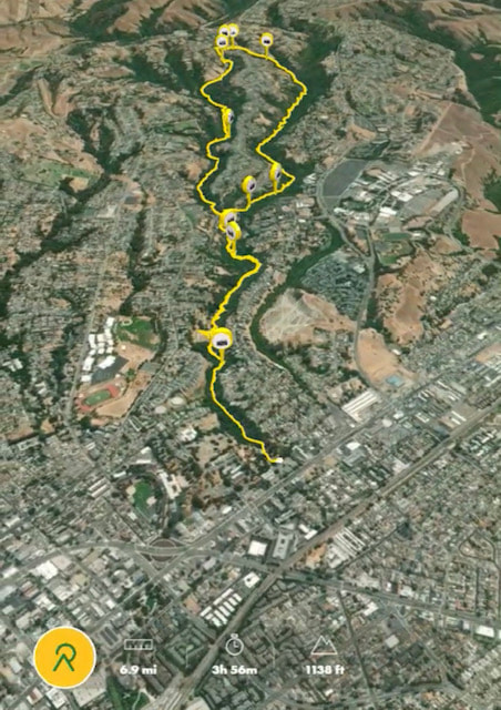
Memorial Park>Wally Wickander Memorial Trail>East Avenue Trail>Ward Creek Rd. Trail
Length: Approximately 7 miles
Elevation gain: Approx. 1,100 ft.
Oakes Drive > Ward Creek Trailhead>Durham Way>Hayward Plunge Trail>Oakes Drive
Length: Approx. 4.2 miles
Elevation gain: 560ft