
Approximate Addresses:
This is a very long trail. I will outline two different starting points to parks along the trail that look vastly different:
First Option:
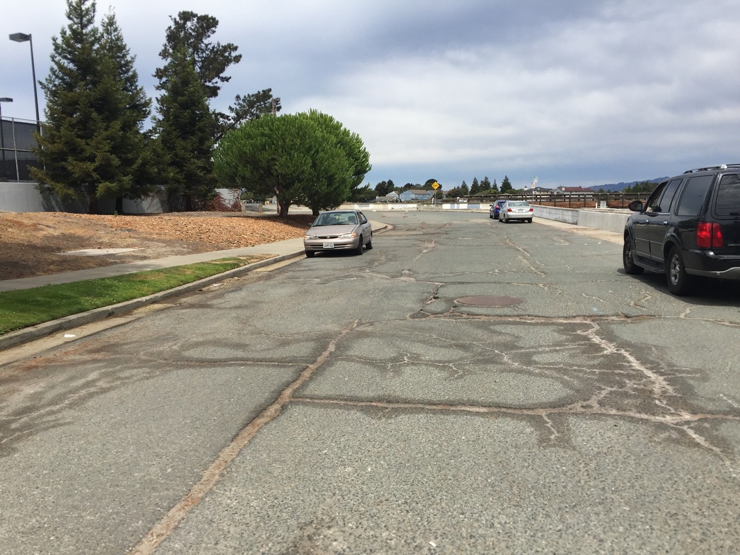
Dead-end at Veterans Ct., Alameda, CA
Parking: 1-hour parking available at the address above. You can also park in the neighborhood near Sea View Parkway and Sheffield Rd. where there is a trail to the water.
Hours: Dawn to dusk
Type: Walk (easy)
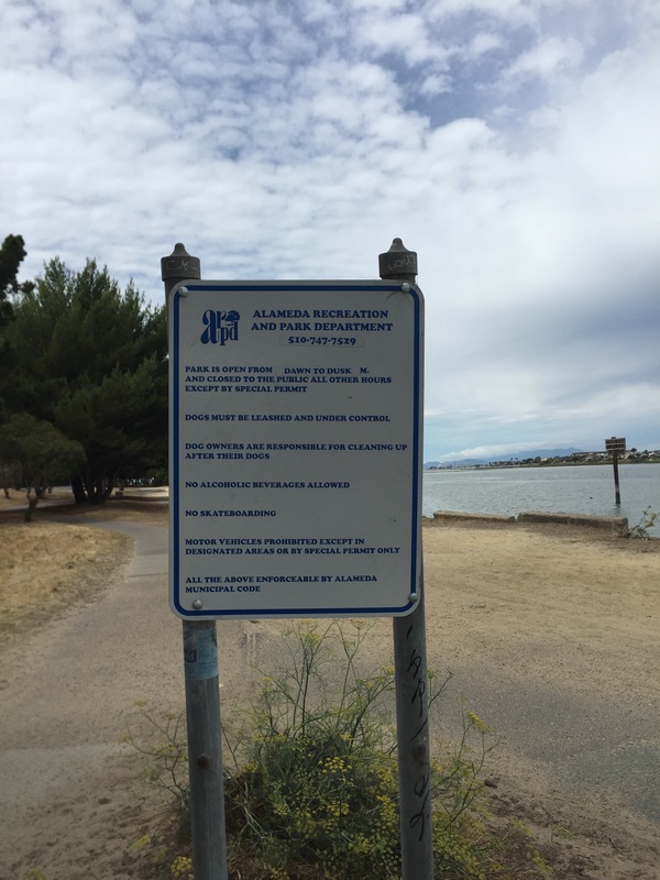
Regulations: Dogs allowed on-leash
Best time to visit: Anytime. This walk is mostly in direct sunlight, but you can walk along the shaded lagoon if it’s hot. The walk near the Ferry terminal has a lot of trees and more shade. Alameda is often cooler and cloudier than most of the bay, so check the weather. You can usually walk here in summer and enjoy a nice breeze. Just make sure the ground isn’t too hot for your dog’s paws.
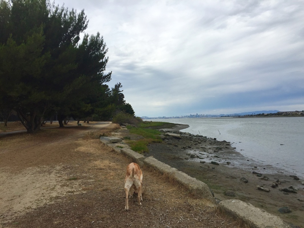
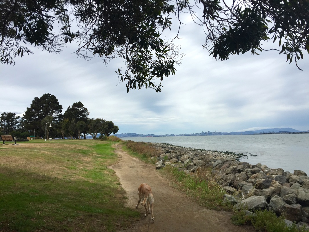
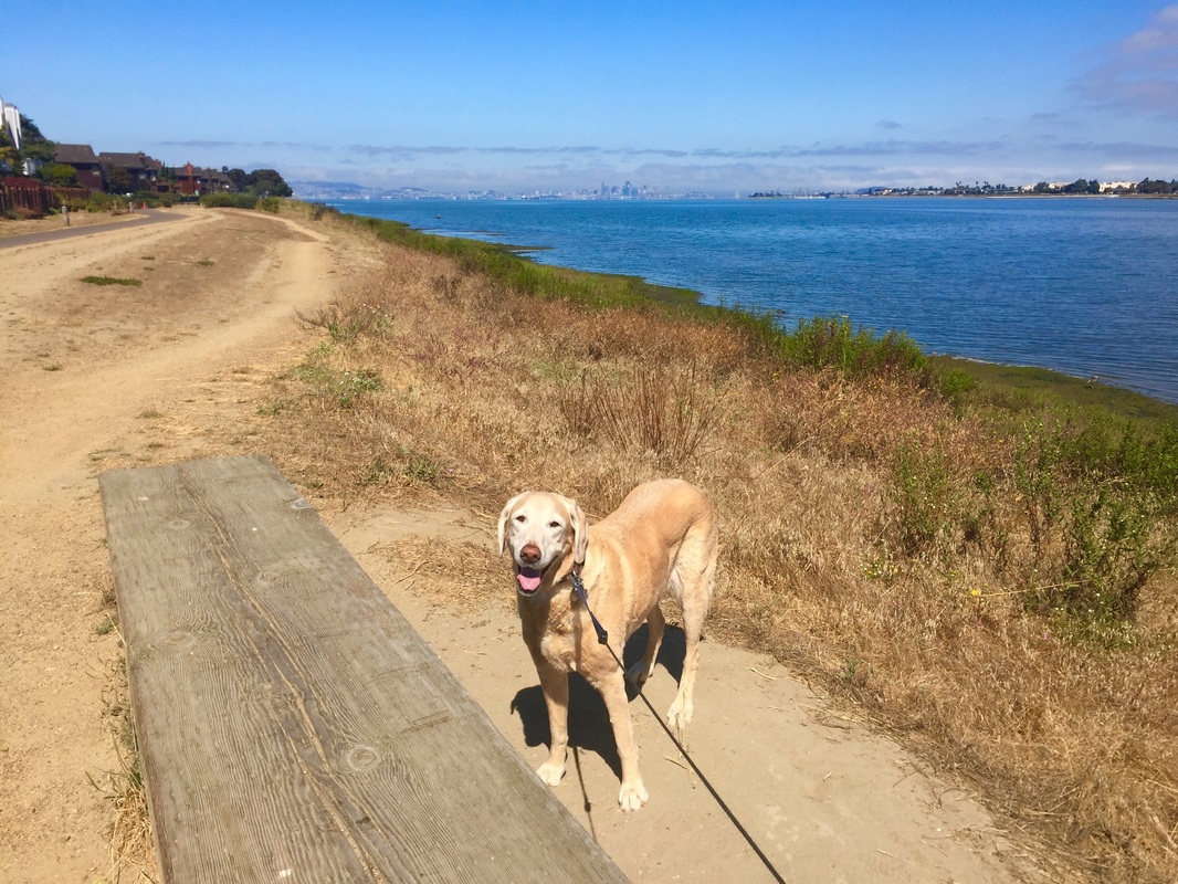
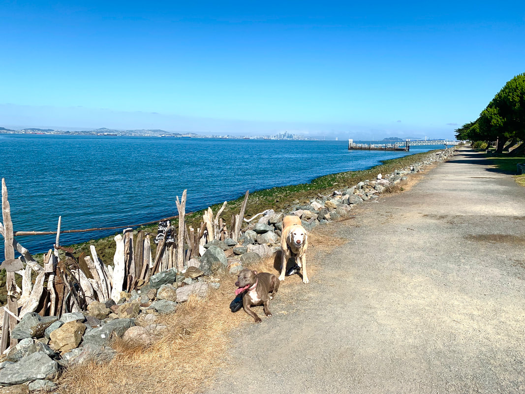
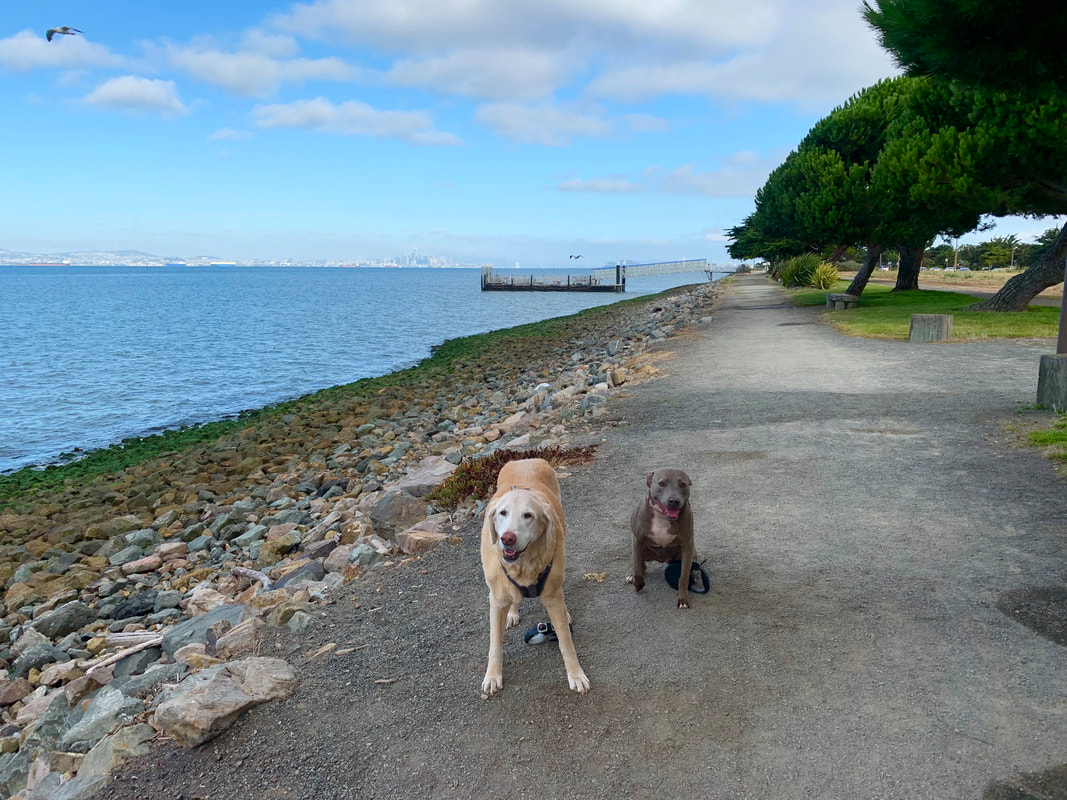
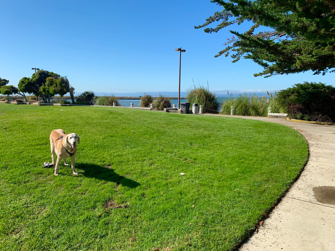
Description: Enjoy a beautiful, quiet walk along the shoreline, listening to the sound of the waves and enjoying stunning views of San Francisco. This area has a paved trail popular with bike riders, and a dirt/sand trail to walk that runs alongside it. I often walk to the Ferry Terminal and back, but you can follow the trail all the way around Bay Farm Island. You can also walk inland from the shoreline, near the yacht club (and Bay Park Terrace), and it will take you through some pathways surrounding shaded peaceful lagoons. This walk has restrooms, benches, and picnic areas.
Second Option:
You can also park for free at the Harbor Bay Ferry Terminal
Address: 215 Adelphian Way, Alameda, CA 94502
Parking: There is plenty of free parking here (250 spots). You can also drive down the road further and park right alongside it.
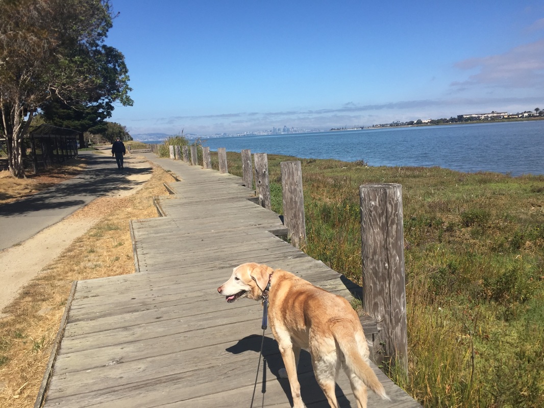
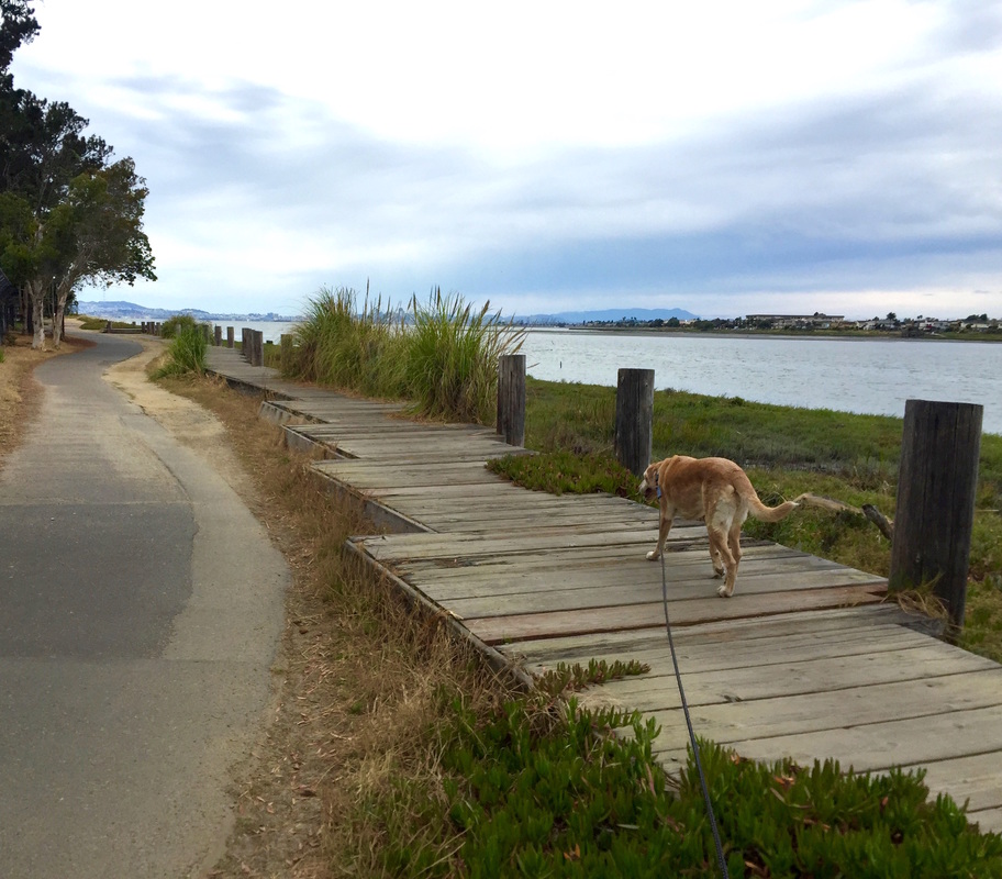
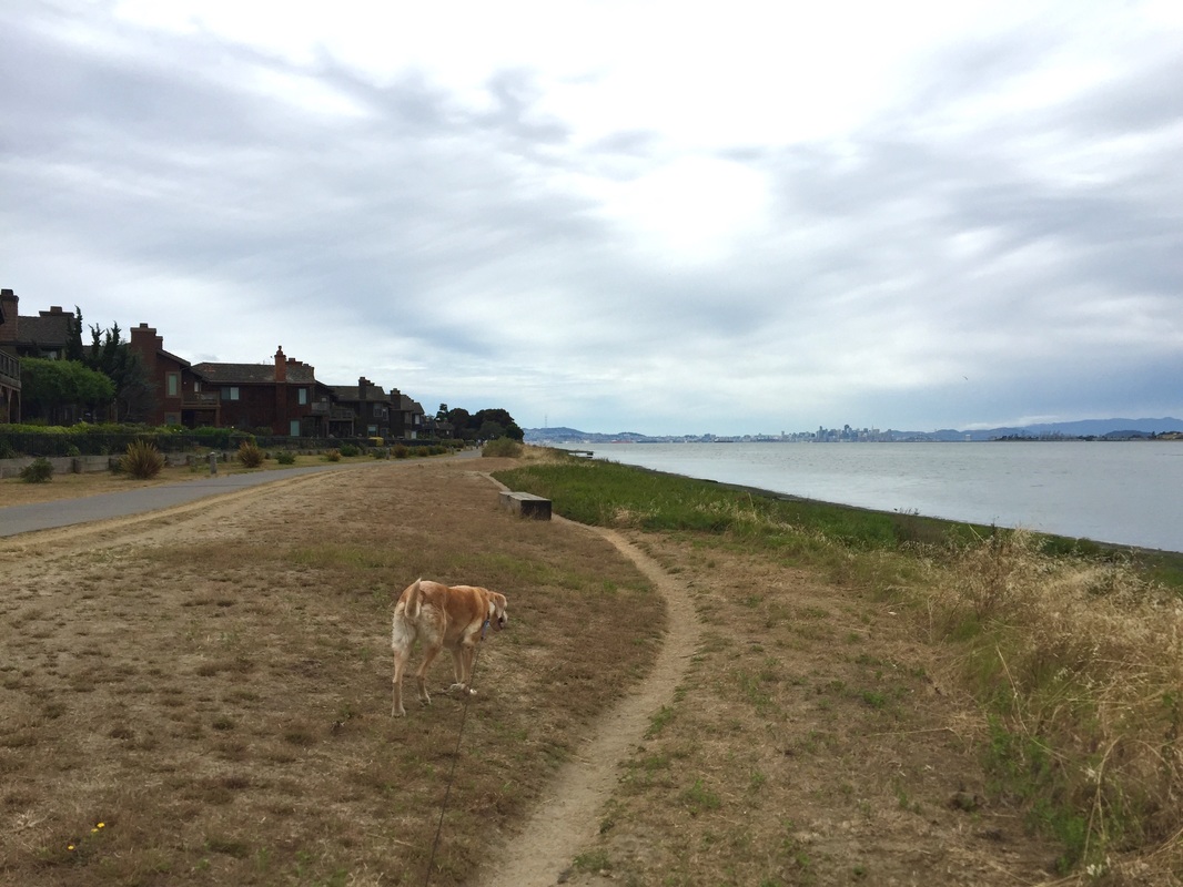
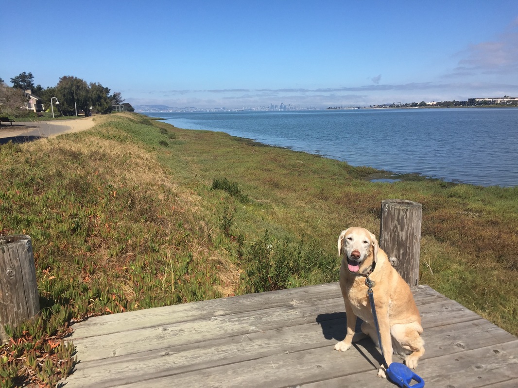
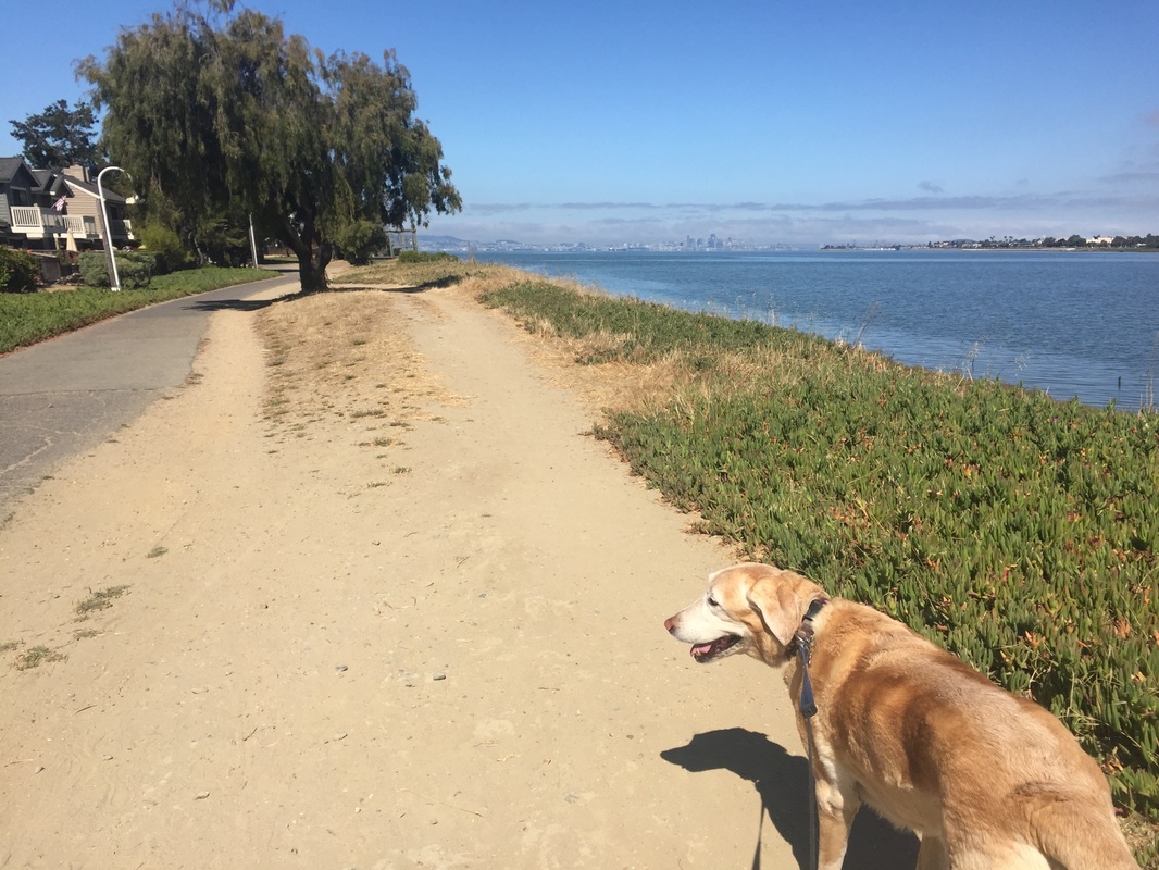
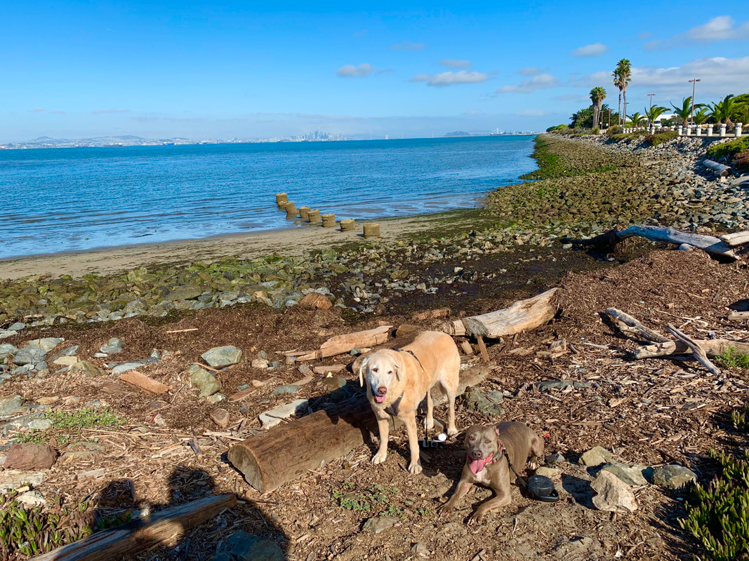
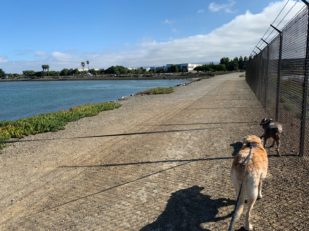
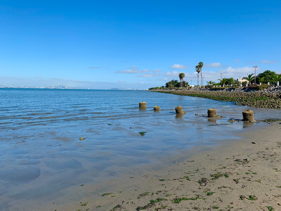
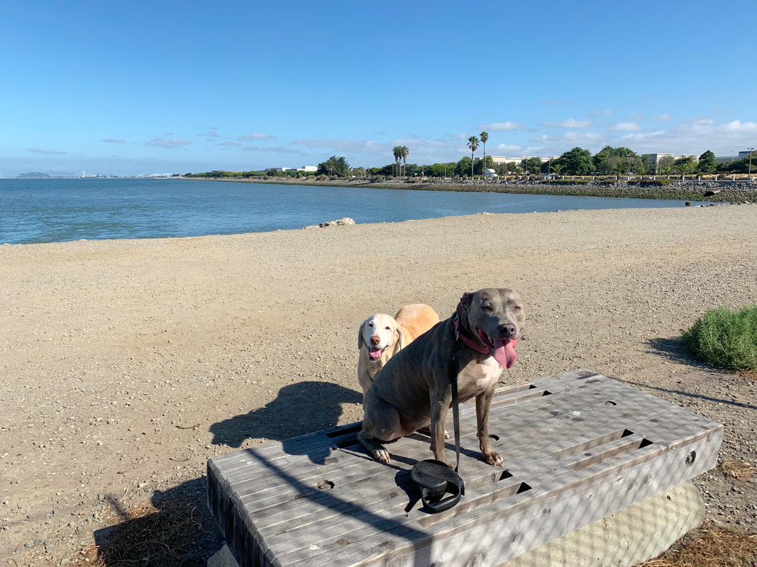
Description: Similar to the starting point above, you can walk along the shoreline (Harbor Bay Trail). This starting point is technically past Shoreline Park, and you have two options: 1) walk towards the Oakland Airport or walk towards Shoreline Park/ the Bay Farm Island Bridge. I find the second option to be more scenic, but they are both beautiful walks. You can even walk towards the Oakland Airport and then loop back to Shoreline Park if you're ambitious. There are a lot of large, grassy areas, and most of the trail is divided into two: one closer to the water and another closer to the street. This is nice in case you need to pass someone or another dog. One section of the trail is dirt and the other section is paved. You can choose almost entirely paved trails so it's a great place to walk after a good rain or to avoid mud. If you walk towards the Oakland Airport, there is a small beach towards the end of the trail. There's a short, rocky stretch to get to it and it has scenic views of SF, but since there is a storm drain nearby, I wouldn't recommend swimming here. If you continue your walk, you will pass a hotel and then it turns into mostly office space/warehouses. It's a great secluded area to walk during the weekends. If you walk down to the old Raider training facility, it's about a 1.8mi out and back walk. You can loop back around (Harbor Bay Parkway>McCartney Road) for about a 4mi walk. If you walk the other direction towards the Bay Farm Island Bridge, you'll have panoramic views of SF on your left and the park/stretches of houses on your right. There are picnic tables, benches and BBQ pits throughout. You can even walk the lagoons in between houses. This entire area is very peaceful and great for a lazy stroll.
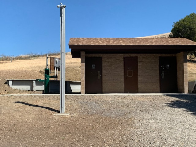
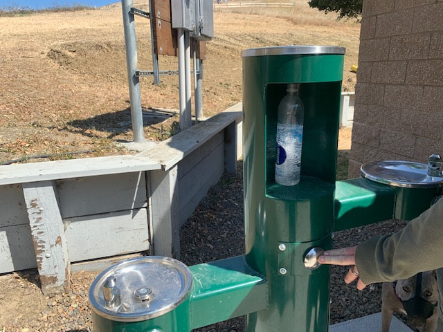
There are plentiful trashcans along the entire trail, restrooms near the ferry terminal, more restrooms along the trail about a mile towards the Oakland Airport, and a water fountain in front of the restroom at the ferry terminal.
This is a very long trail. I will outline two different starting points to parks along the trail that look vastly different:
First Option:
Dead-end at Veterans Ct., Alameda, CA
Parking: 1-hour parking available at the address above. You can also park in the neighborhood near Sea View Parkway and Sheffield Rd. where there is a trail to the water.
Hours: Dawn to dusk
Type: Walk (easy)
Regulations: Dogs allowed on-leash
Best time to visit: Anytime. This walk is mostly in direct sunlight, but you can walk along the shaded lagoon if it’s hot. The walk near the Ferry terminal has a lot of trees and more shade. Alameda is often cooler and cloudier than most of the bay, so check the weather. You can usually walk here in summer and enjoy a nice breeze. Just make sure the ground isn’t too hot for your dog’s paws.
Description: Enjoy a beautiful, quiet walk along the shoreline, listening to the sound of the waves and enjoying stunning views of San Francisco. This area has a paved trail popular with bike riders, and a dirt/sand trail to walk that runs alongside it. I often walk to the Ferry Terminal and back, but you can follow the trail all the way around Bay Farm Island. You can also walk inland from the shoreline, near the yacht club (and Bay Park Terrace), and it will take you through some pathways surrounding shaded peaceful lagoons. This walk has restrooms, benches, and picnic areas.
Second Option:
You can also park for free at the Harbor Bay Ferry Terminal
Address: 215 Adelphian Way, Alameda, CA 94502
Parking: There is plenty of free parking here (250 spots). You can also drive down the road further and park right alongside it.
Description: Similar to the starting point above, you can walk along the shoreline (Harbor Bay Trail). This starting point is technically past Shoreline Park, and you have two options: 1) walk towards the Oakland Airport or walk towards Shoreline Park/ the Bay Farm Island Bridge. I find the second option to be more scenic, but they are both beautiful walks. You can even walk towards the Oakland Airport and then loop back to Shoreline Park if you're ambitious. There are a lot of large, grassy areas, and most of the trail is divided into two: one closer to the water and another closer to the street. This is nice in case you need to pass someone or another dog. One section of the trail is dirt and the other section is paved. You can choose almost entirely paved trails so it's a great place to walk after a good rain or to avoid mud. If you walk towards the Oakland Airport, there is a small beach towards the end of the trail. There's a short, rocky stretch to get to it and it has scenic views of SF, but since there is a storm drain nearby, I wouldn't recommend swimming here. If you continue your walk, you will pass a hotel and then it turns into mostly office space/warehouses. It's a great secluded area to walk during the weekends. If you walk down to the old Raider training facility, it's about a 1.8mi out and back walk. You can loop back around (Harbor Bay Parkway>McCartney Road) for about a 4mi walk. If you walk the other direction towards the Bay Farm Island Bridge, you'll have panoramic views of SF on your left and the park/stretches of houses on your right. There are picnic tables, benches and BBQ pits throughout. You can even walk the lagoons in between houses. This entire area is very peaceful and great for a lazy stroll.
There are plentiful trashcans along the entire trail, restrooms near the ferry terminal, more restrooms along the trail about a mile towards the Oakland Airport, and a water fountain in front of the restroom at the ferry terminal.
Pictures of the walk beginning at Veteran's Court:


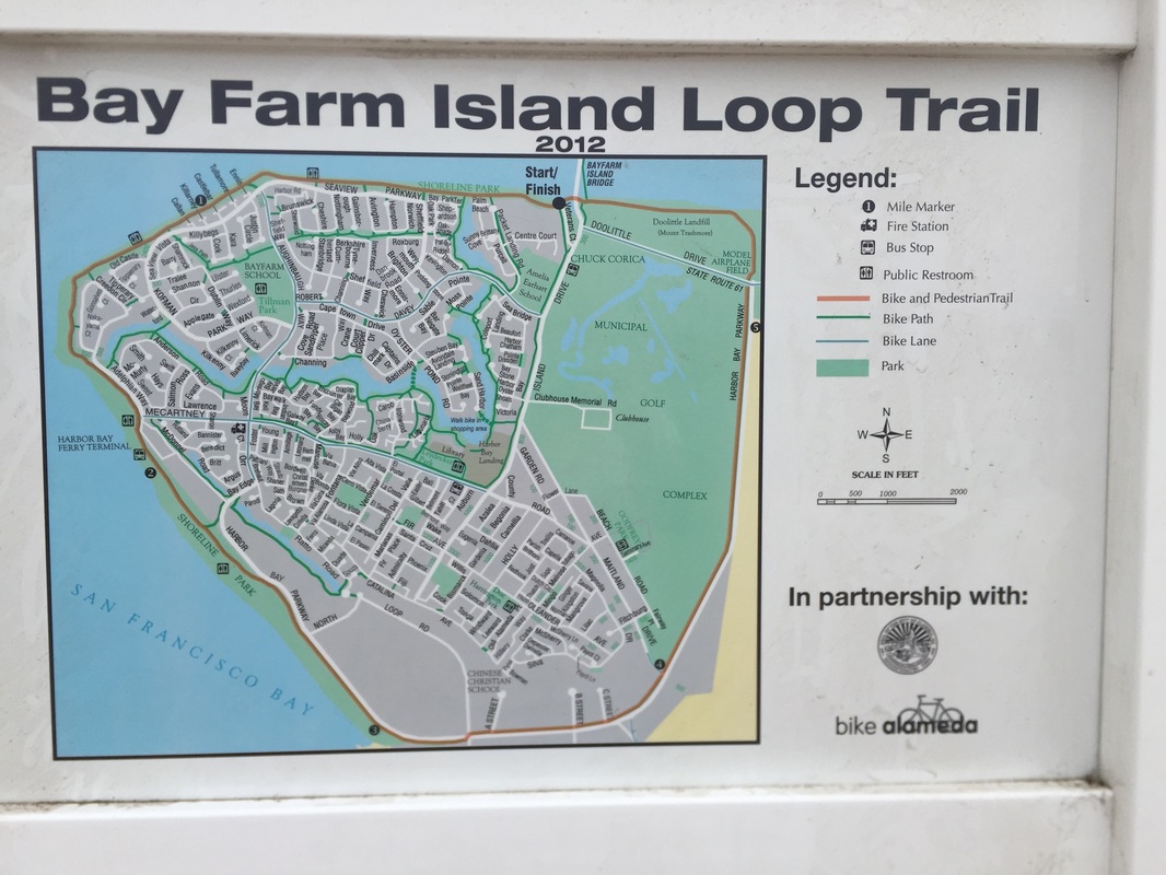
Trail map, regulations & picture of parking area at Veterans Ct:
Pictures of the parking lot at the ferry terminal:

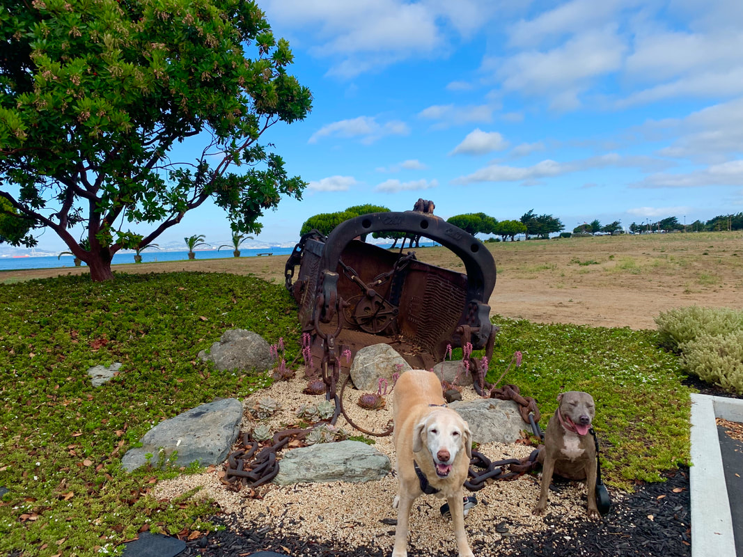
Pictures of the walk starting from the ferry terminal (in the direction of OAK):
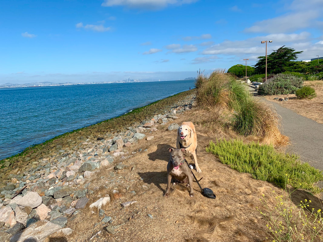

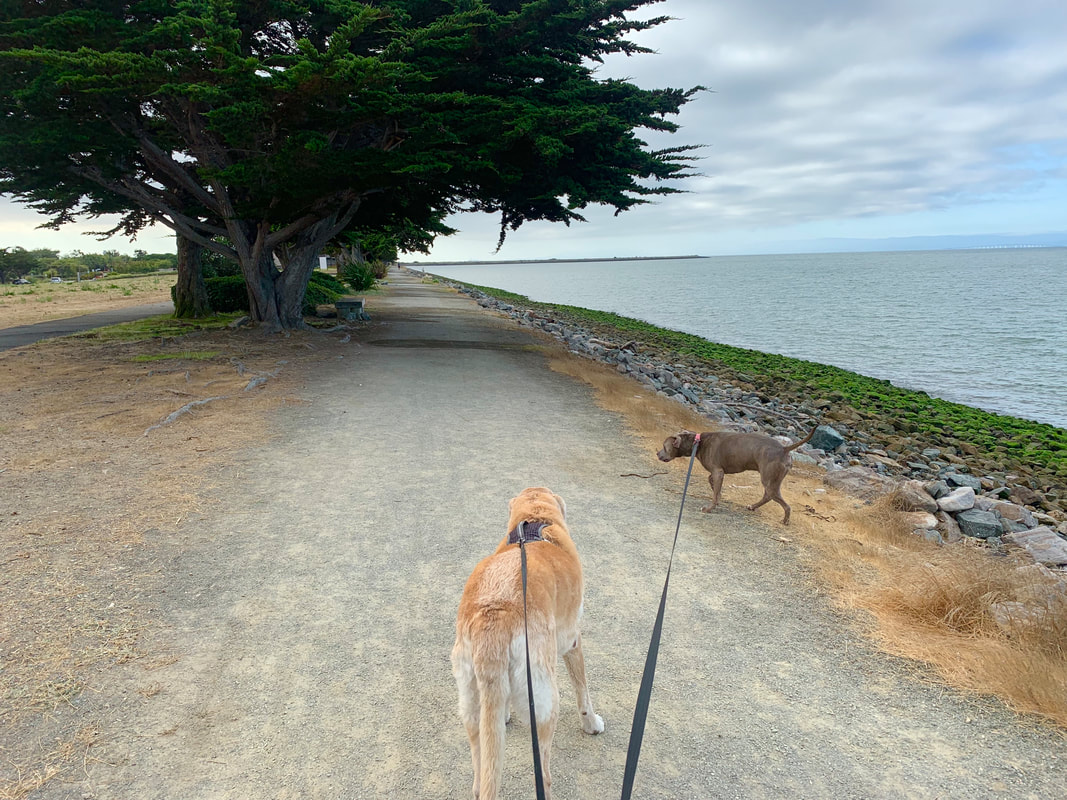
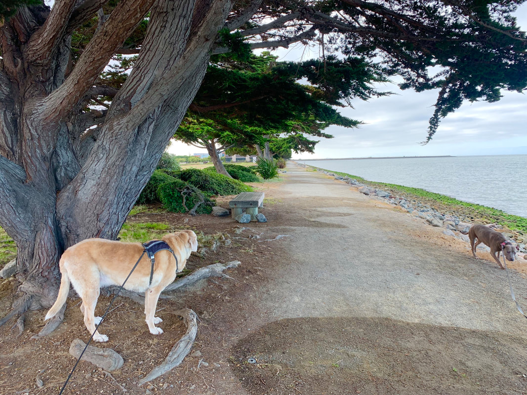
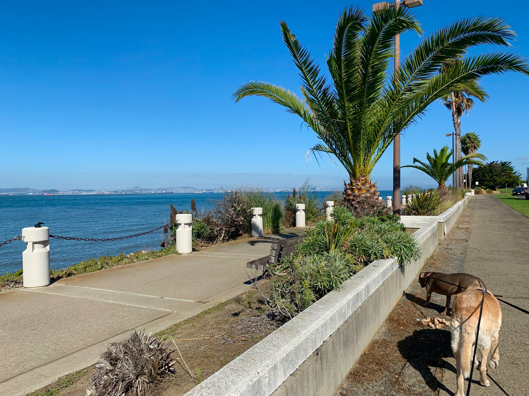
Photos walking from the ferry terminal (in the direction of the Bay Farm Island Bridge):


