Address: 37.647317, -122.145064 (Hayward entrance off of Depot Rd.)
OR
37°40'10.1"N 122°09'27.3"W (San Lorenzo entrance at end of Grant Ave.)
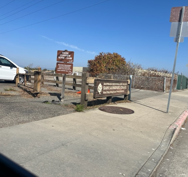
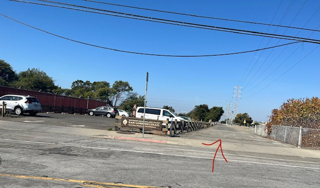
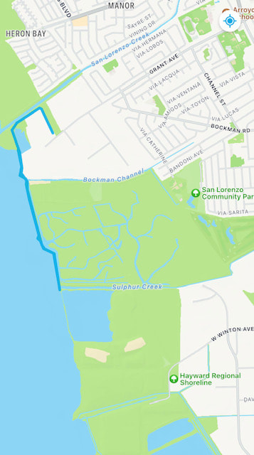
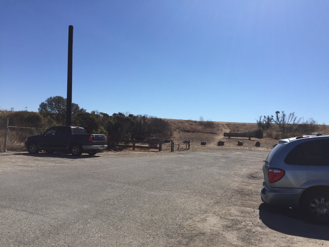
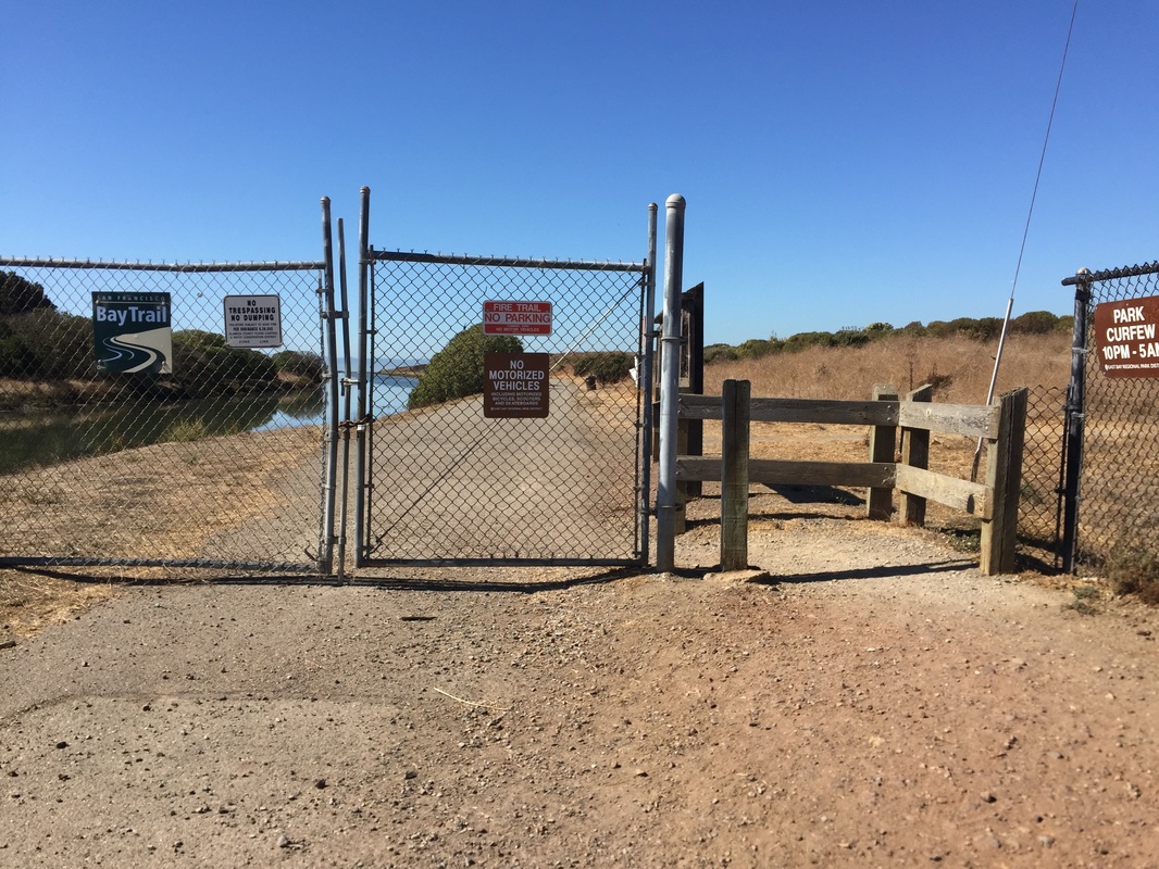
Parking: Free parking available at the addresses above. To reach the park's Hayward entrance, you will drive down a road that says "no outlet," and pass the park office. When you reach the end, you will see an EBPARKs sign for the shoreline. Immediately park on either side of the street against the fence. The entrance is along the fence. Another parking lot is available further down the road, but dogs are not allowed in that side of the park, as it is a wildlife protection marsh area.
You will find the San Lorenzo entrance at the end of Grant Ave. Park in the parking lot and then walk down the paved road adjacent to the parking lot until you see a fence for the park entrance.
Hours: 5 A.M. - 10 P.M.
Type: Walk/ Hike (easy)
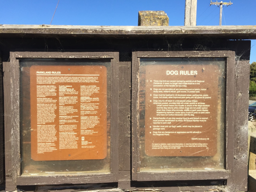
Regulations: Dogs allowed on-leash in developed areas and off-leash in undeveloped areas. Dogs are not allowed south of W. Winton Ave and the flood control channel.
Best time to visit: Spring, fall, or early morning on a cool day.
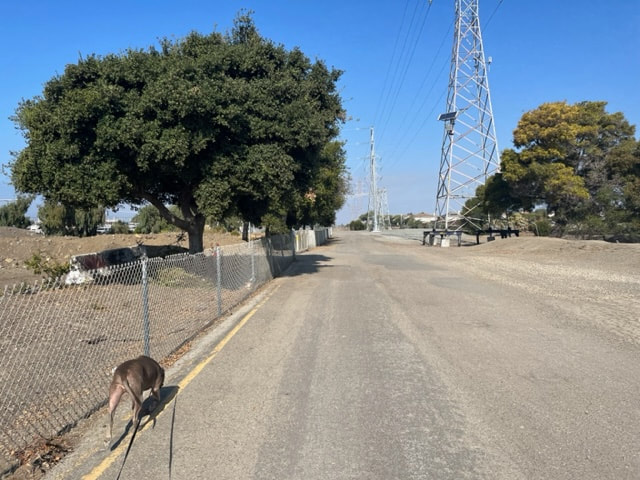
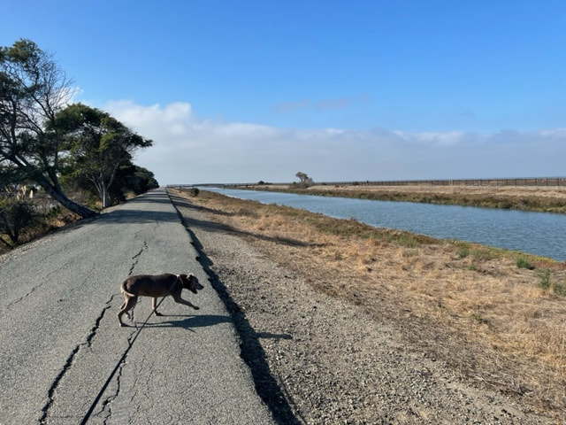
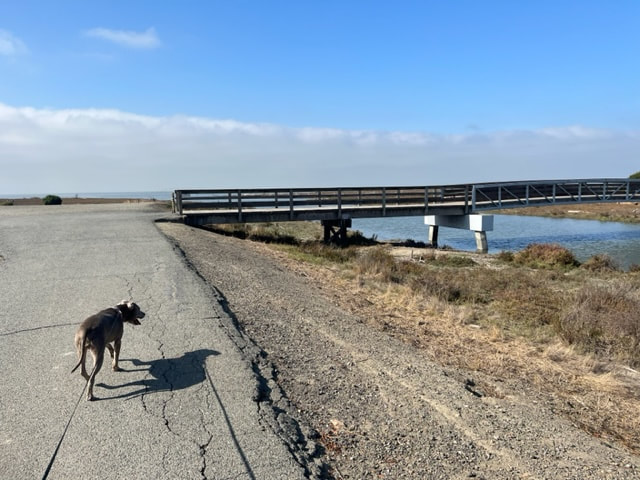
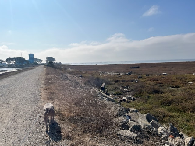
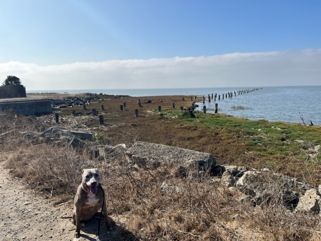
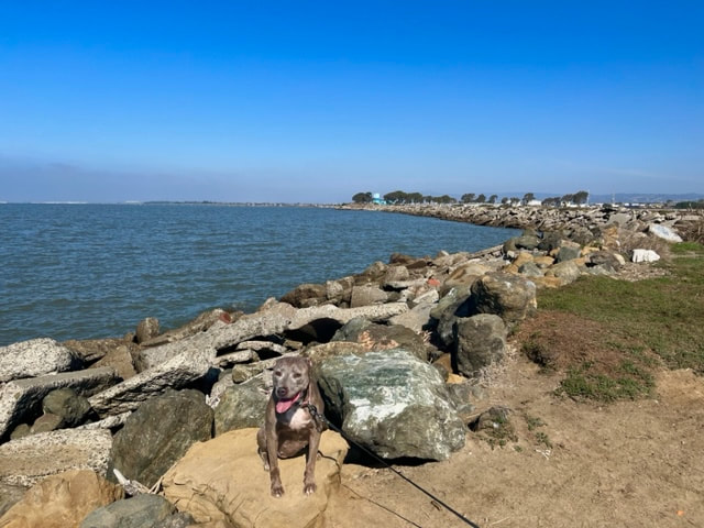
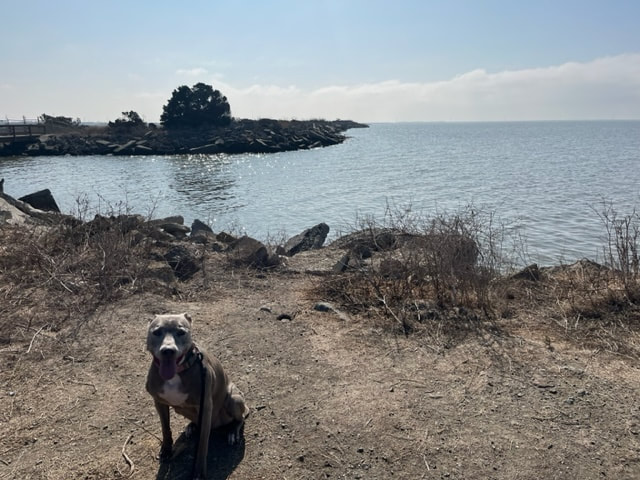
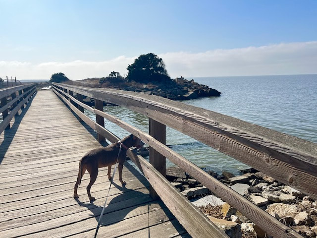
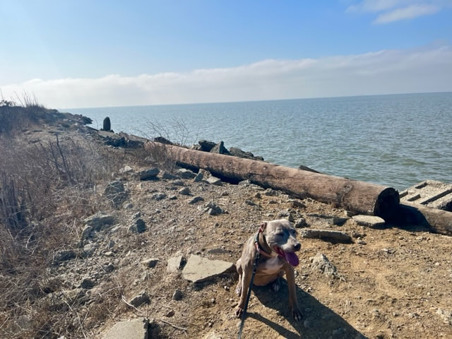
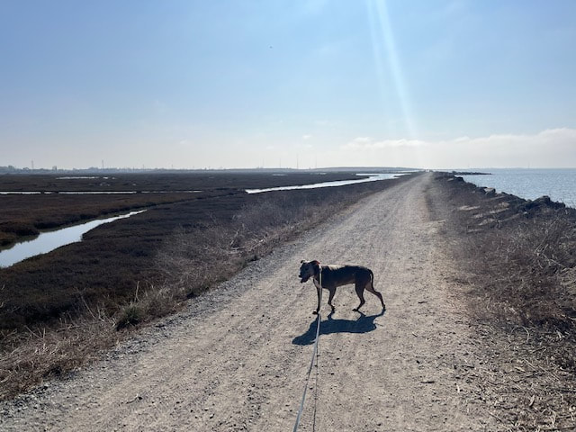
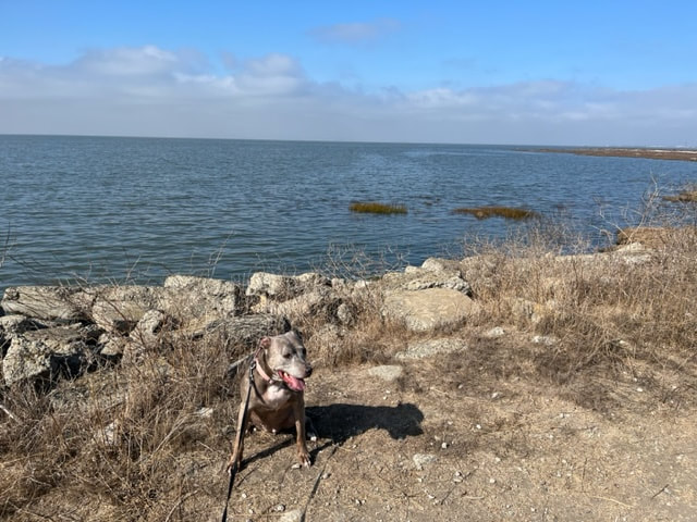
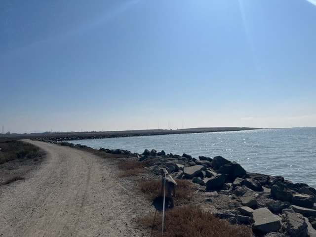
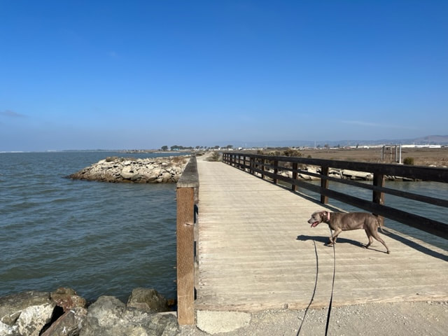
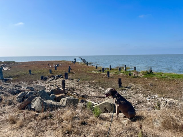
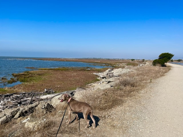
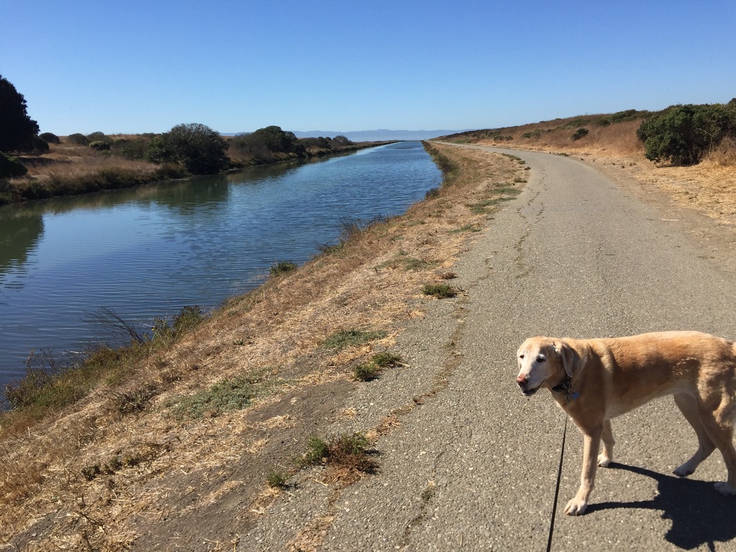
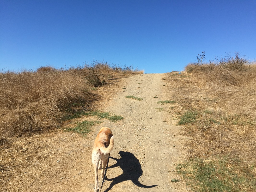
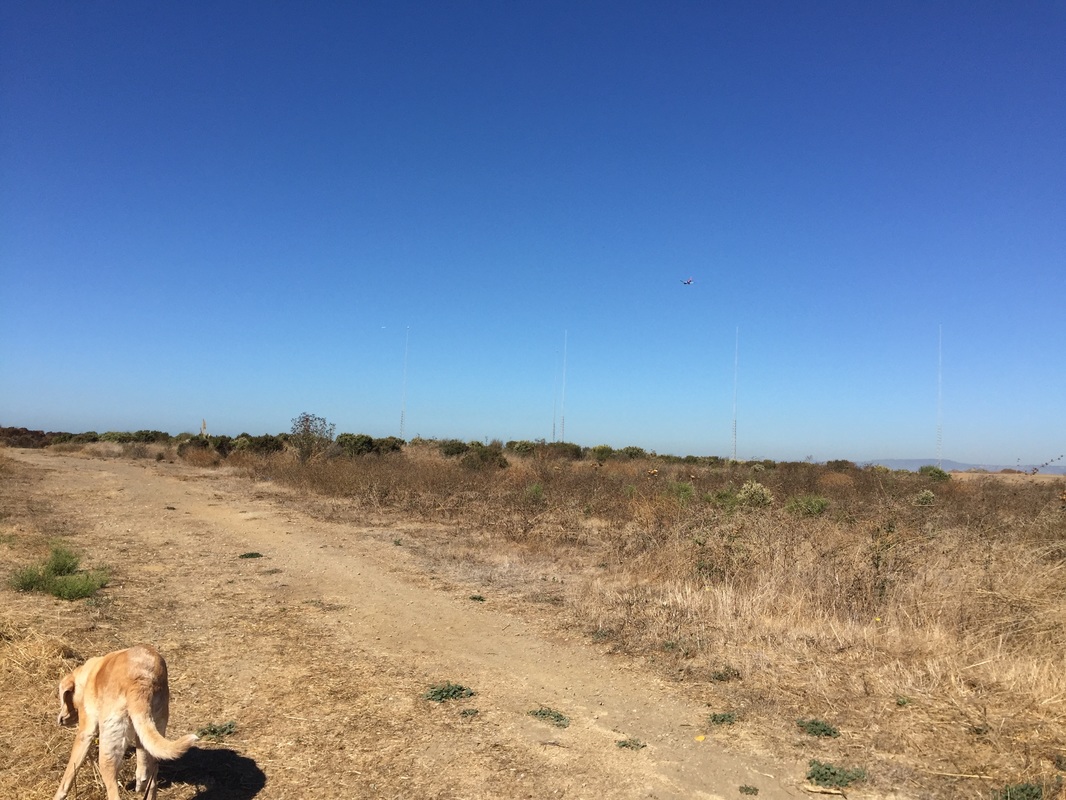
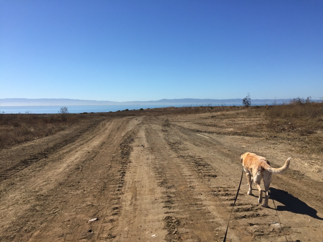
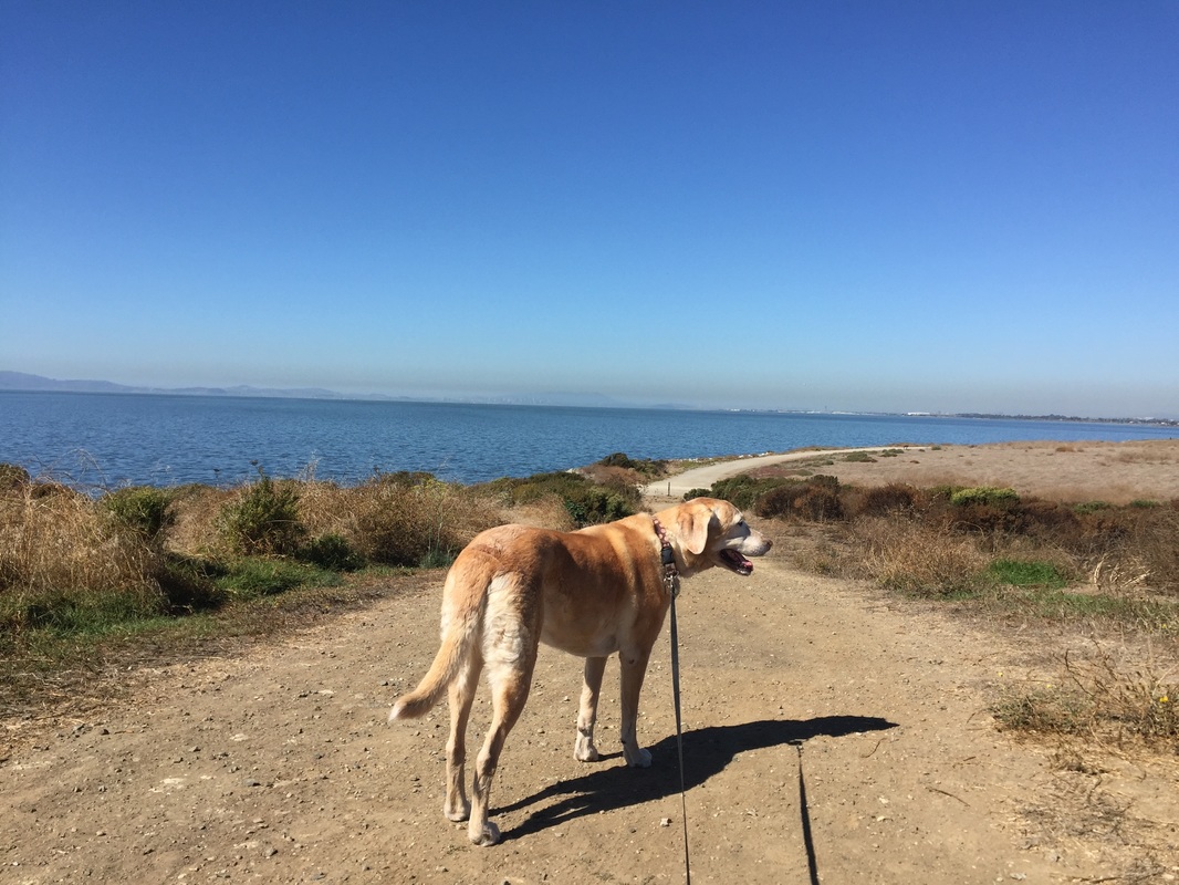
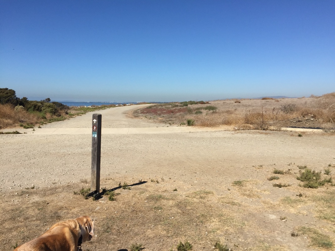
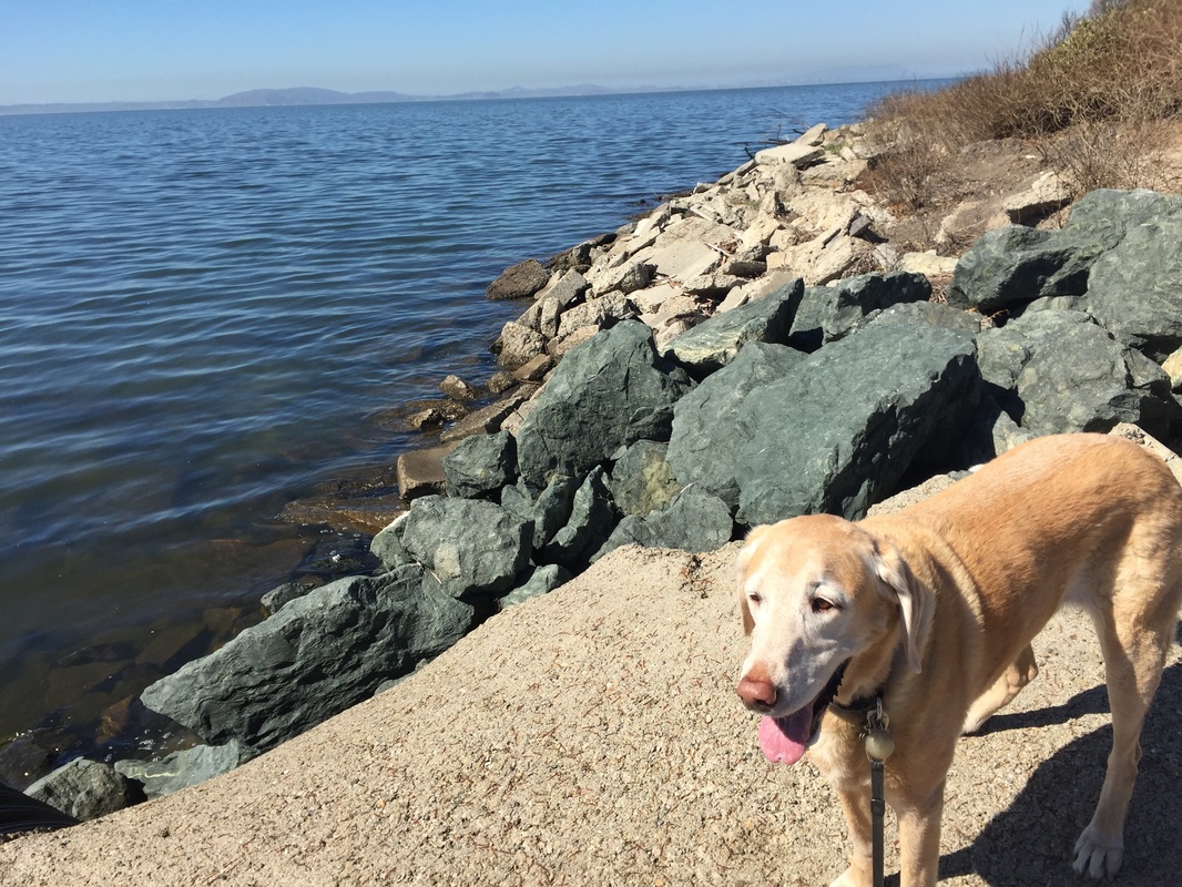
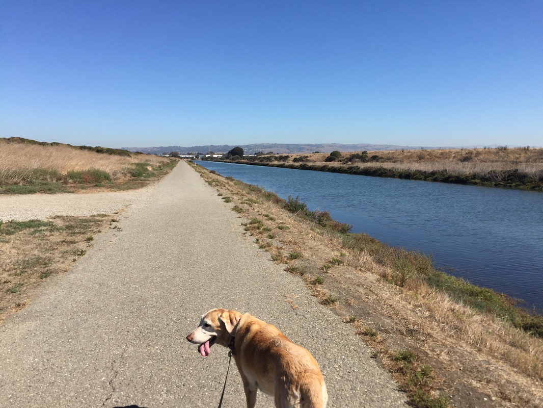
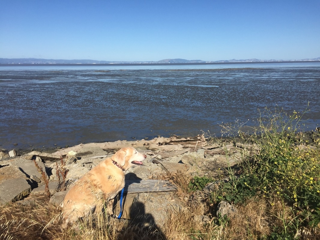
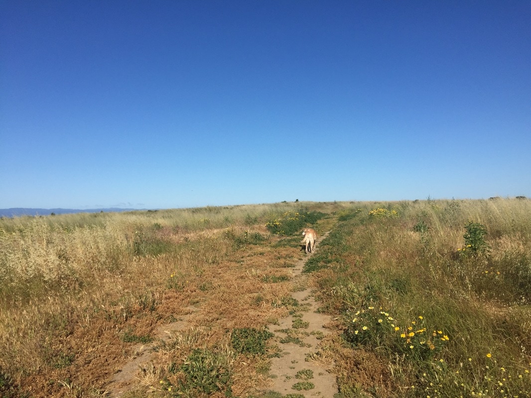
Description (Hayward entrance): Go for an easy walk or hike along the channel running through the park and the scenic shoreline of the San Francisco Bay. The main trail from the parking lot is a .57 mile flat trail running along the flood control channel to a bridge and lookout called “Hayward’s Landing” at the tip of the shoreline. You will have views of SF from this point. Facing Hayward’s Landing, you must turn right, as dogs are not allowed to the left. From here, you can take the SF Bay Trail along the shoreline, for as long as you would like, and then turn back. In about 1.8 miles you will reach San Lorenzo Creek, and in an additional 2.25 miles you will reach the San Leandro Marina. On your way back, you can hike up through the undeveloped hillside via a trail before Hayward’s Landing. You will see a trail post, but it is not on the map. This trail will lead to an open space with views of the bay, hills, and even airplanes landing. There is an incline up and down the trail, but it is not strenuous. If you stay on the trail, it will take you back to the initial trail along the flood control channel, not far from the parking lot.
This trail is fully exposed to sun with no shade. Although there is usually a nice breeze from the bay, the trail can still get hot, so avoid hiking on hot days in full sunlight. There are no restrooms or running water available on the route described above. Restrooms are available south of W. Winton Ave in the other parking lot area, but dogs are not allowed in this area. Trash cans are available at the trailhead.
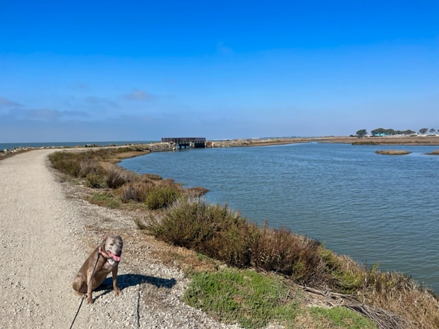
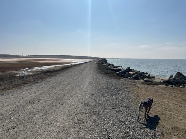
Description (San Lorenzo Entrance): To drive from the San Lorenzo to Hayward entrance is about 5.5miles, but you can walk along the bay trail less than 2 miles between the two. The San Lorenzo entrance is in a bit of an off place, at the end of the industrial Grant Ave. To reach the park, you have to take a short walk down the paved road adjacent to the parking lot until you reach a fence. This entrance takes you along the canal that separates Oyster Bay. Walk towards the water and you will soon see a bridge. You can take the bridge to the right into Oyster Bay, or to the left, which will take you on a scenic walk along the water. You will pass the water treatment plant (blue building with whales painted on it), and cross several bridges along the marsh. There are plenty of benches to stop and take a break. You can walk to W. Winton Ave, but dogs are not allowed past that in the marsh area. Although this walk is all on-leash, in less than 2 miles you can take the undeveloped trails on the hillside before Hayward's Landing, where dogs are off leash. For our walk, we walked as far aa Sulphur Creek and back, which was about 3 miles round trip.
OR
37°40'10.1"N 122°09'27.3"W (San Lorenzo entrance at end of Grant Ave.)
Parking: Free parking available at the addresses above. To reach the park's Hayward entrance, you will drive down a road that says "no outlet," and pass the park office. When you reach the end, you will see an EBPARKs sign for the shoreline. Immediately park on either side of the street against the fence. The entrance is along the fence. Another parking lot is available further down the road, but dogs are not allowed in that side of the park, as it is a wildlife protection marsh area.
You will find the San Lorenzo entrance at the end of Grant Ave. Park in the parking lot and then walk down the paved road adjacent to the parking lot until you see a fence for the park entrance.
Hours: 5 A.M. - 10 P.M.
Type: Walk/ Hike (easy)
Regulations: Dogs allowed on-leash in developed areas and off-leash in undeveloped areas. Dogs are not allowed south of W. Winton Ave and the flood control channel.
Best time to visit: Spring, fall, or early morning on a cool day.
Description (Hayward entrance): Go for an easy walk or hike along the channel running through the park and the scenic shoreline of the San Francisco Bay. The main trail from the parking lot is a .57 mile flat trail running along the flood control channel to a bridge and lookout called “Hayward’s Landing” at the tip of the shoreline. You will have views of SF from this point. Facing Hayward’s Landing, you must turn right, as dogs are not allowed to the left. From here, you can take the SF Bay Trail along the shoreline, for as long as you would like, and then turn back. In about 1.8 miles you will reach San Lorenzo Creek, and in an additional 2.25 miles you will reach the San Leandro Marina. On your way back, you can hike up through the undeveloped hillside via a trail before Hayward’s Landing. You will see a trail post, but it is not on the map. This trail will lead to an open space with views of the bay, hills, and even airplanes landing. There is an incline up and down the trail, but it is not strenuous. If you stay on the trail, it will take you back to the initial trail along the flood control channel, not far from the parking lot.
This trail is fully exposed to sun with no shade. Although there is usually a nice breeze from the bay, the trail can still get hot, so avoid hiking on hot days in full sunlight. There are no restrooms or running water available on the route described above. Restrooms are available south of W. Winton Ave in the other parking lot area, but dogs are not allowed in this area. Trash cans are available at the trailhead.
Description (San Lorenzo Entrance): To drive from the San Lorenzo to Hayward entrance is about 5.5miles, but you can walk along the bay trail less than 2 miles between the two. The San Lorenzo entrance is in a bit of an off place, at the end of the industrial Grant Ave. To reach the park, you have to take a short walk down the paved road adjacent to the parking lot until you reach a fence. This entrance takes you along the canal that separates Oyster Bay. Walk towards the water and you will soon see a bridge. You can take the bridge to the right into Oyster Bay, or to the left, which will take you on a scenic walk along the water. You will pass the water treatment plant (blue building with whales painted on it), and cross several bridges along the marsh. There are plenty of benches to stop and take a break. You can walk to W. Winton Ave, but dogs are not allowed past that in the marsh area. Although this walk is all on-leash, in less than 2 miles you can take the undeveloped trails on the hillside before Hayward's Landing, where dogs are off leash. For our walk, we walked as far aa Sulphur Creek and back, which was about 3 miles round trip.
Photos from Hayward entrance:


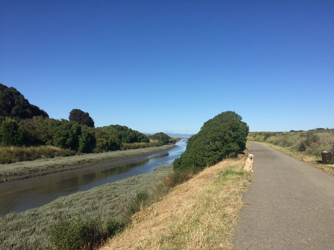

Photos from San Lorenzo entrance: